
A Memorable Road Trip to Arunachal and Meghalaya – Part 3
In the third and final part of this three-part series of my road trip to Arunachal and Meghalaya, I will cover the journey with my family in Meghalaya and my drive back home from Guwahati.
As a recap, in Part 1, I covered my journey with my younger daughter from Coimbatore to Guwahati. In Part 2, I covered the journey with my family in Arunachal.
Use the Table of Contents below to skip to the desired section. Use the “Back to TOC” link at the end of each section to come back to the Table of Contents.
Day 12: Tezpur to Shillong
On Day 12, since it was not a very long drive to Shillong, we left Tezpur leisurely at around 9:30 AM after breakfast. The drive to Shillong was uneventful. The 4-lane highways in Meghalaya from Guwahati to Shillong are just excellent to drive on. We reached Shillong by 4:00 PM.
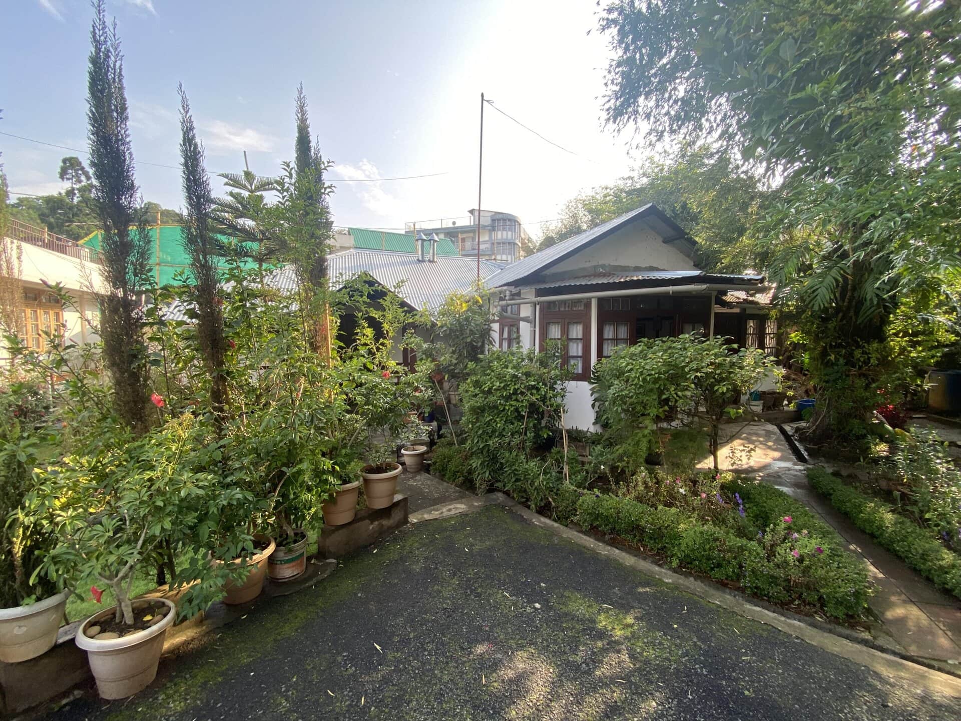
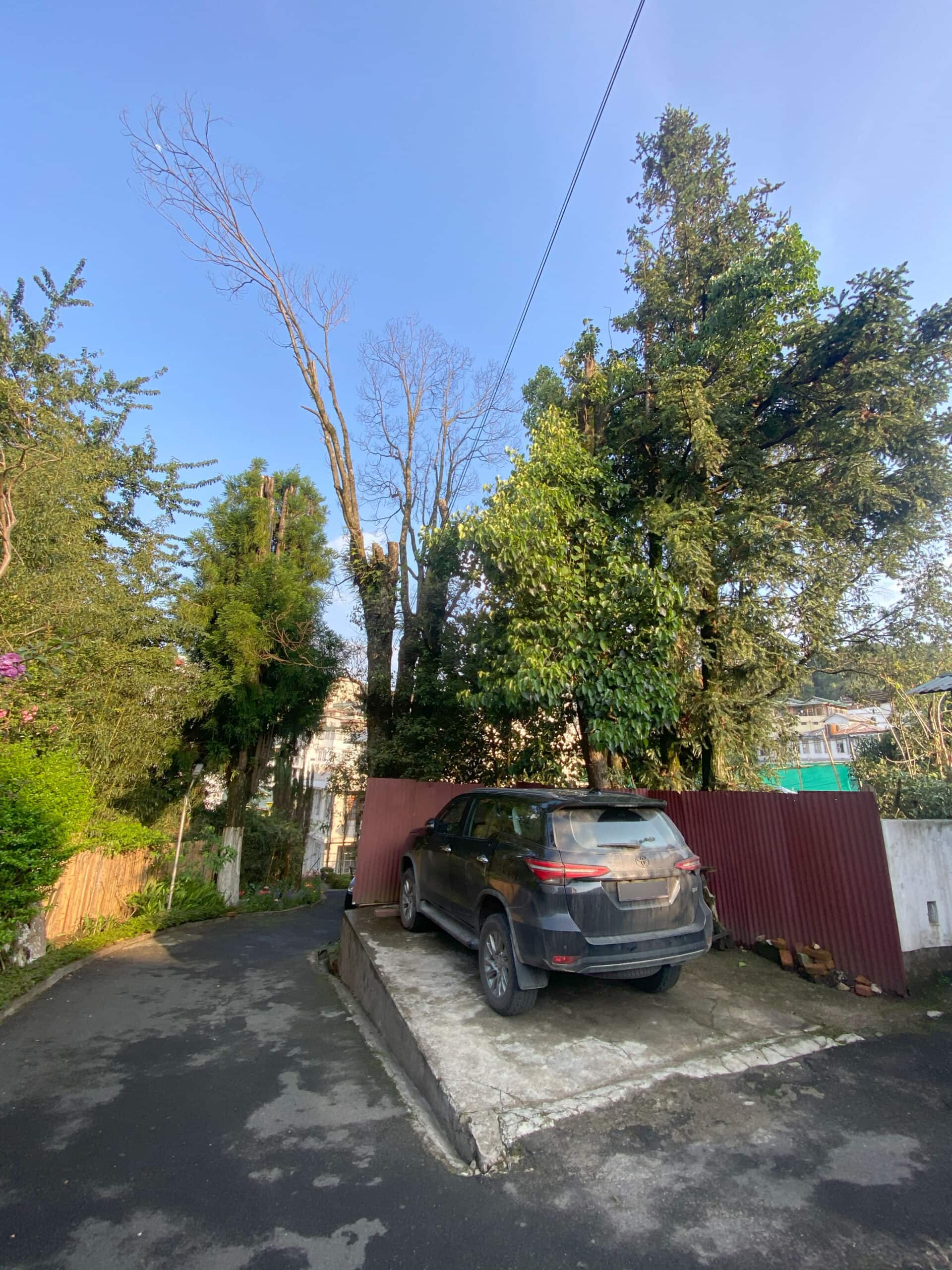
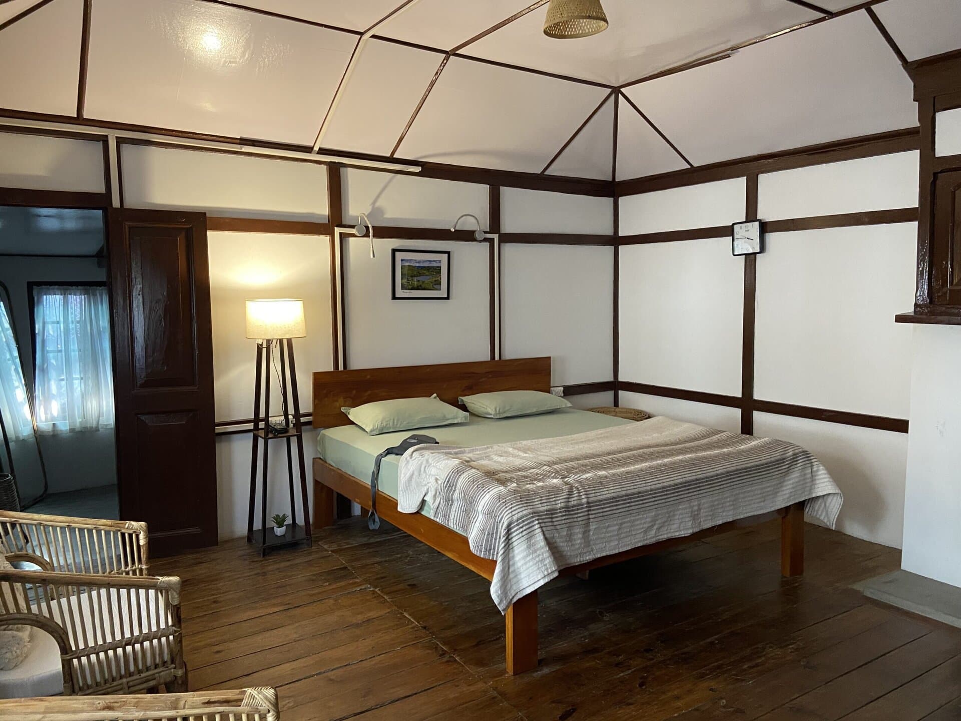
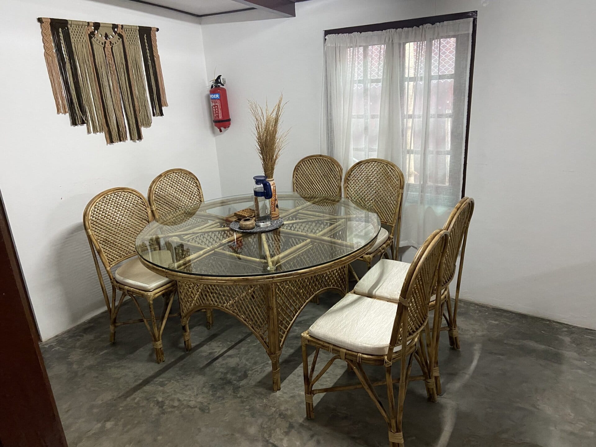
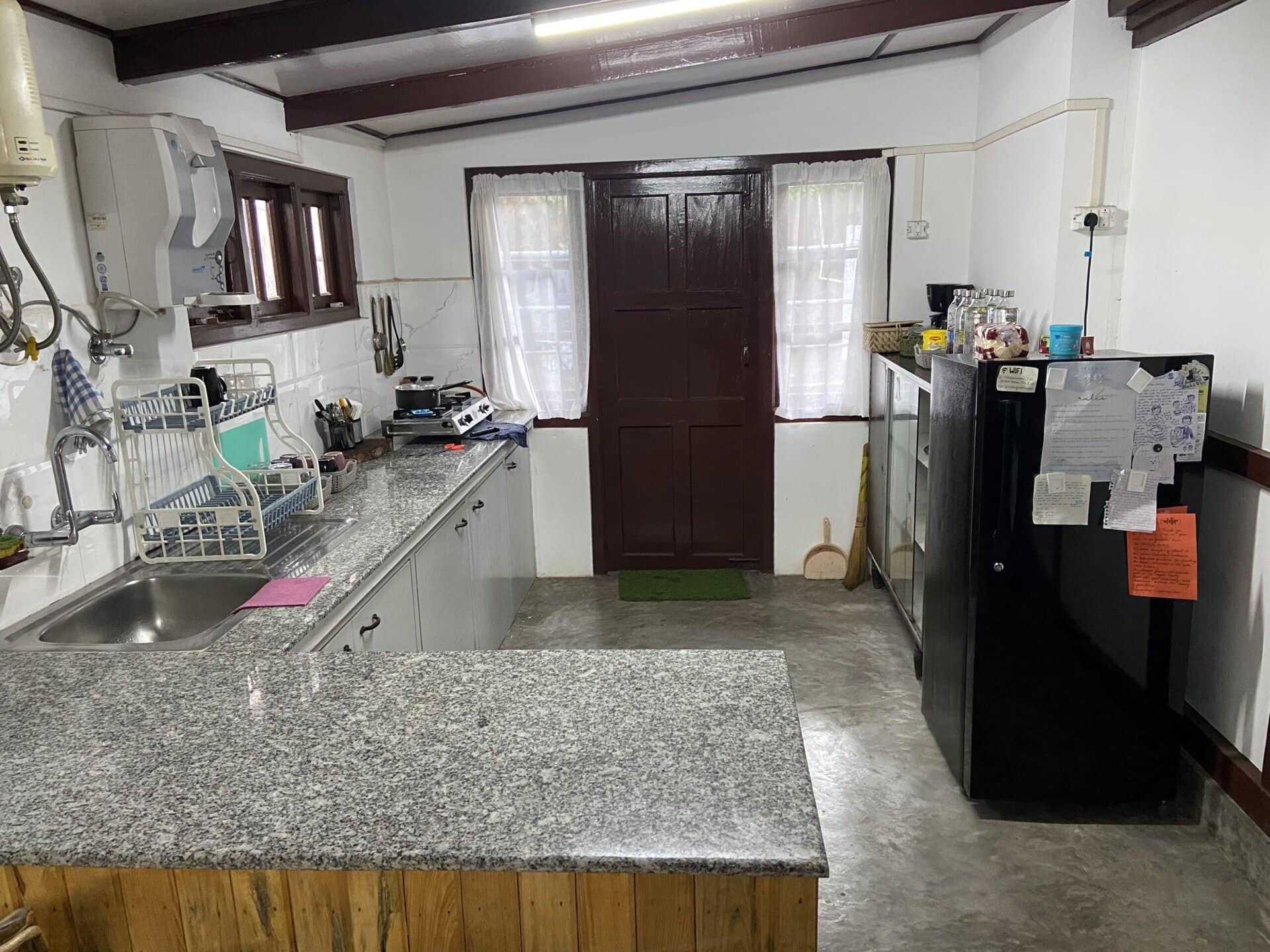
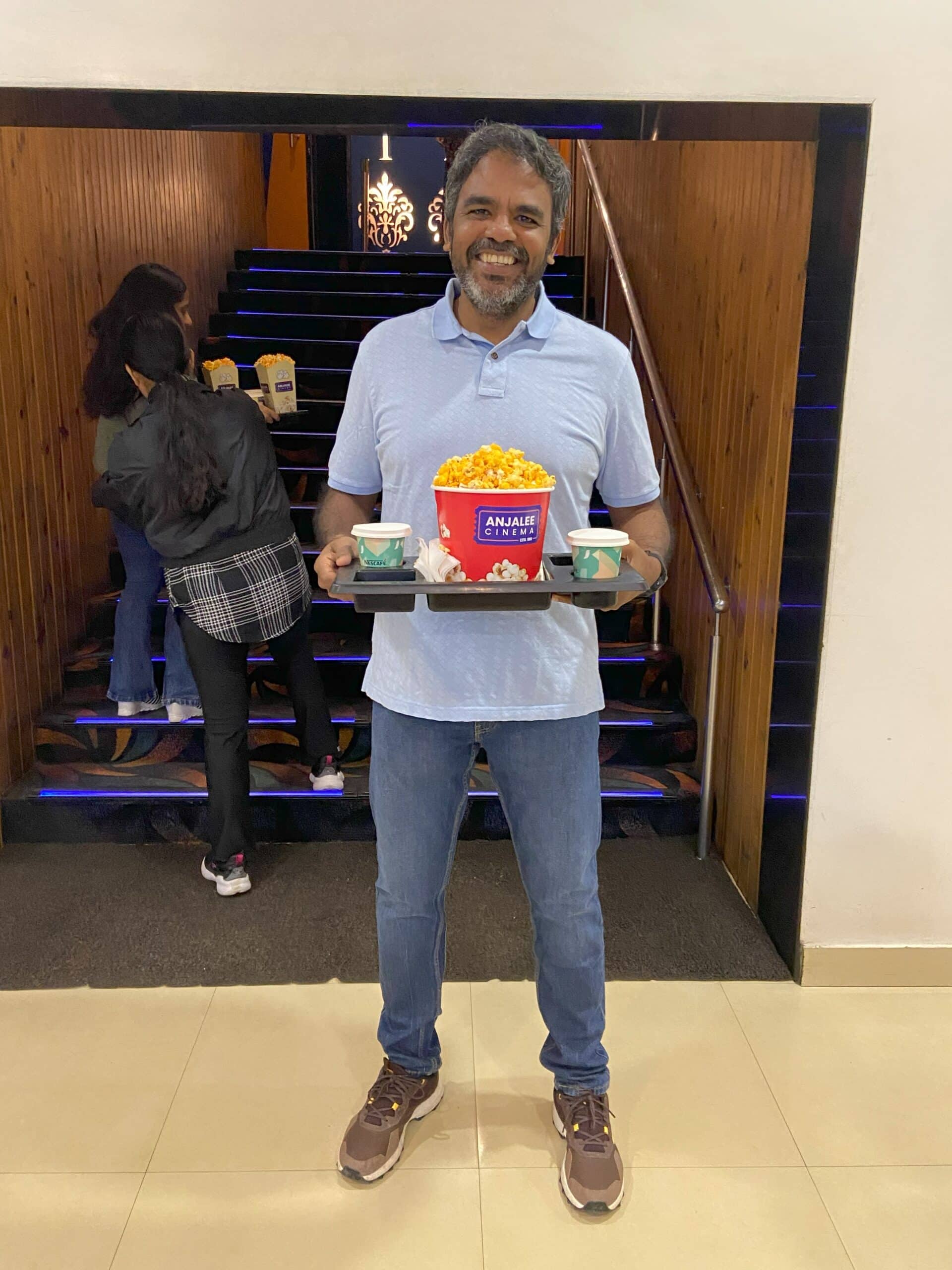
I had booked the stay for the next 2 nights on Airbnb. This was a cottage called “Tales of 1943”. It was an excellent heritage cottage with two rooms and a kitchen. Once we checked in, we had the whole evening to relax. Just for fun, we went for a walk in the marketplace and enjoyed a movie in the local cinema theater with lots of popcorn. We came back to the homestay, ordered Swiggy, and had some relaxing time.
I did not click many pictures on this day. Just the Airbnb and a picture at the cinemas.

Day 13: Shillong Sightseeing
As per my original plan, I had planned to do the Mawrynkhang bamboo trail trek on Day 13. However, it had rained the previous couple of days around Shillong, and the owner of the Airbnb suggested that we not go for the trek as the trail and the bamboo bridges would be slippery. So, I changed the plan and decided to visit a couple of other places near Shillong.
Mawphanlur
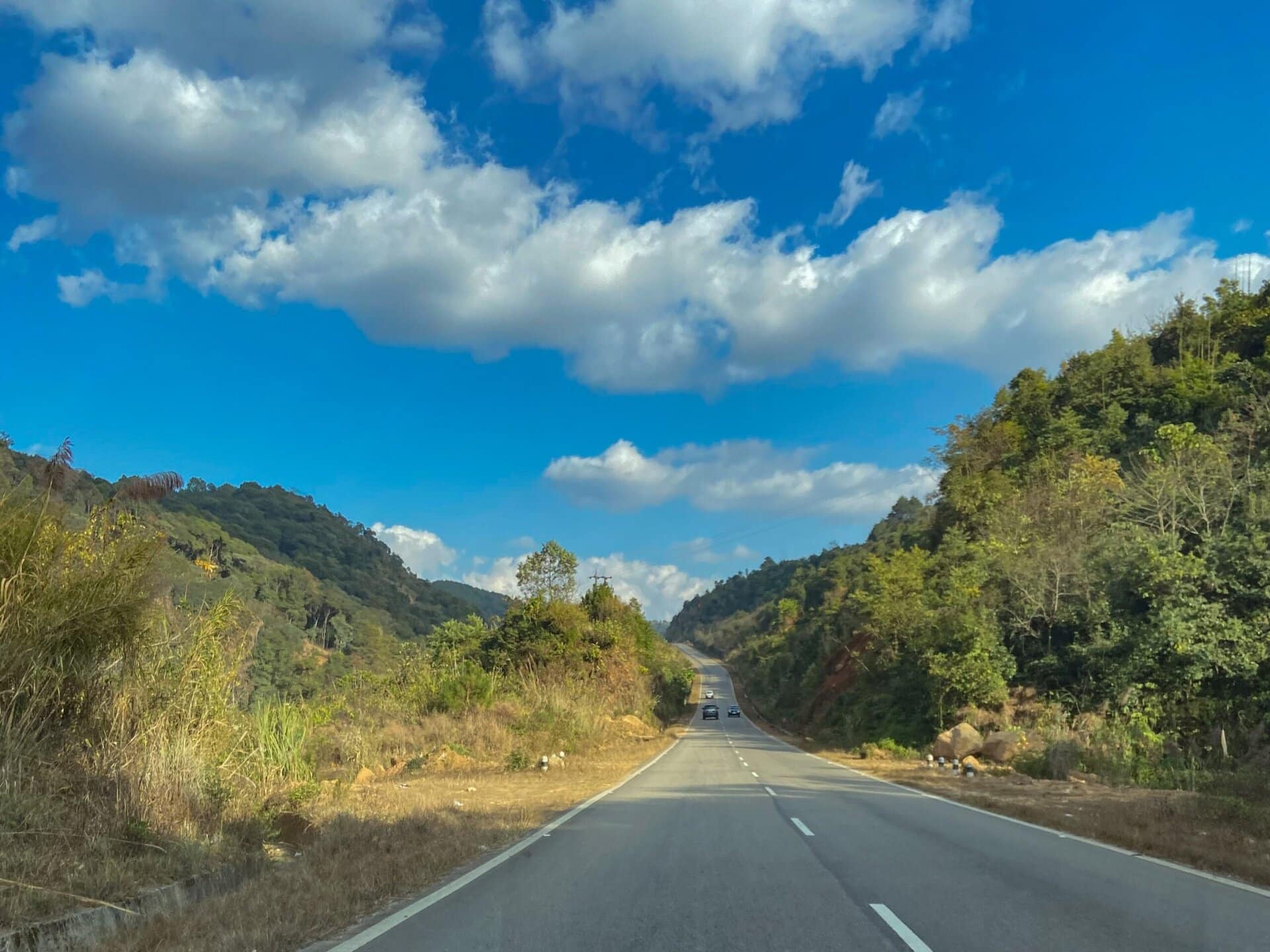
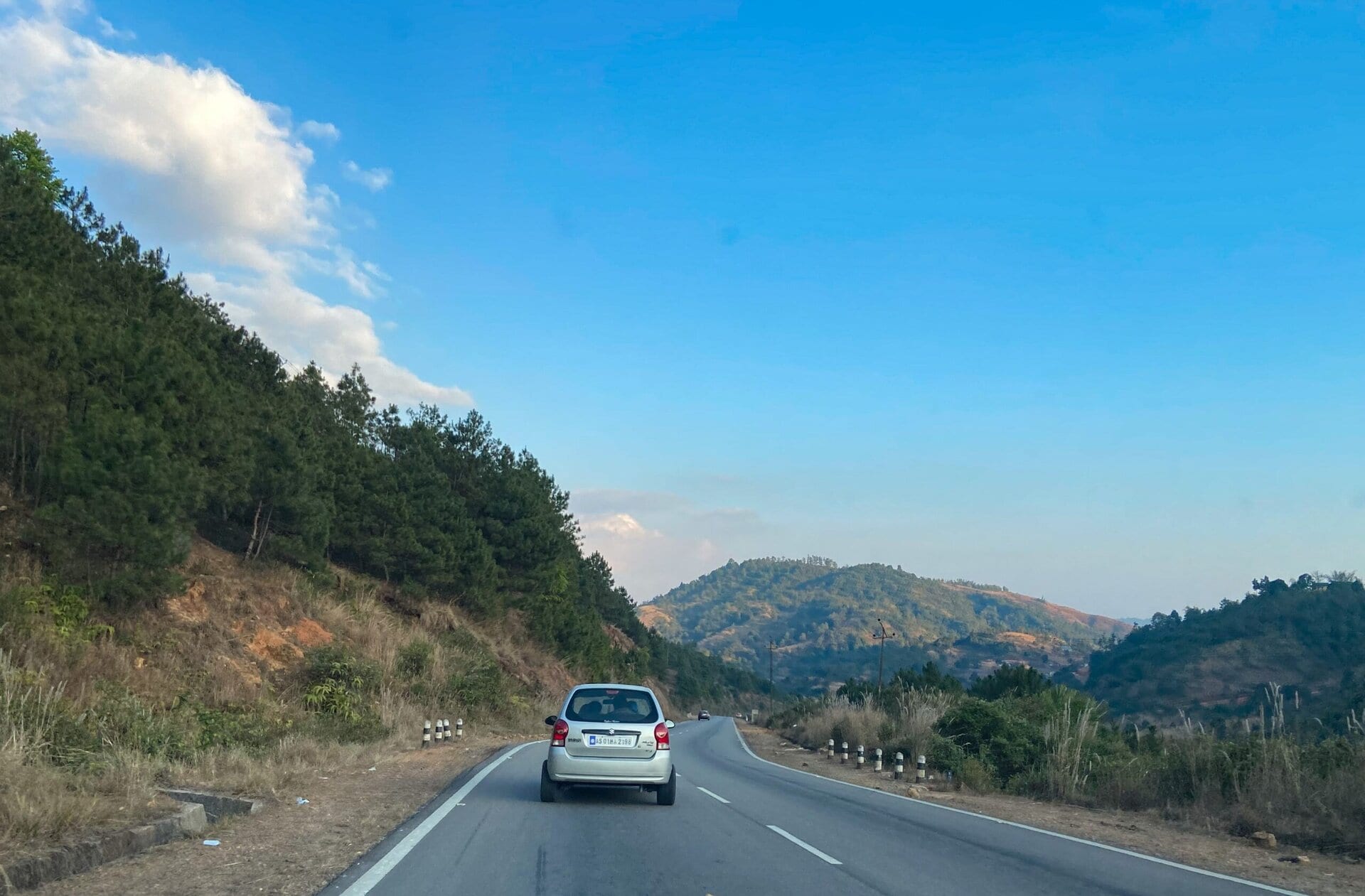
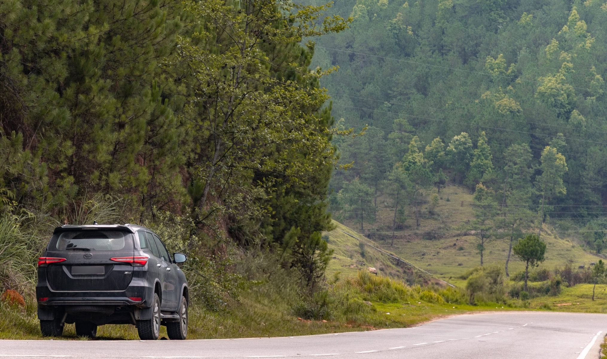
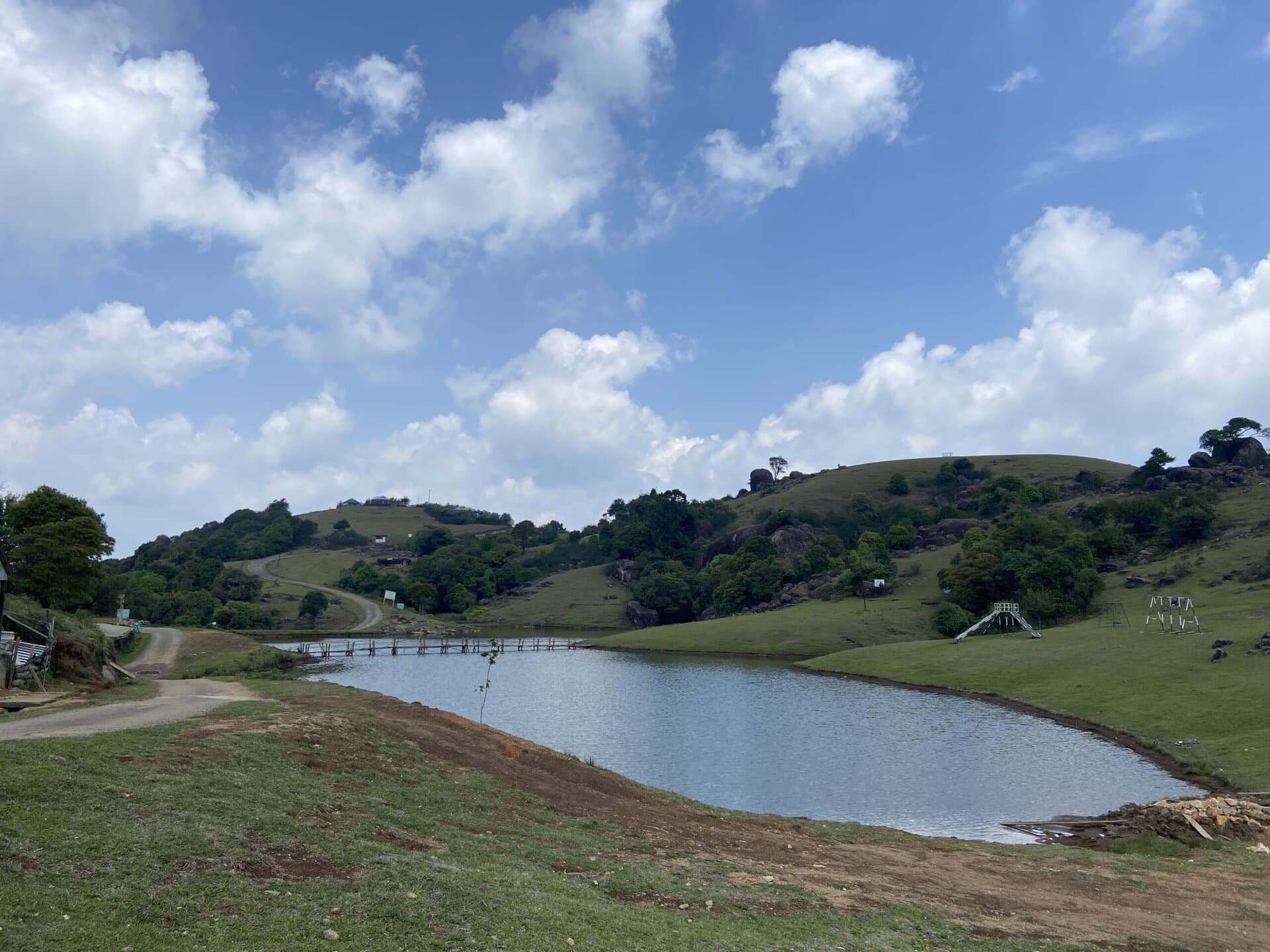
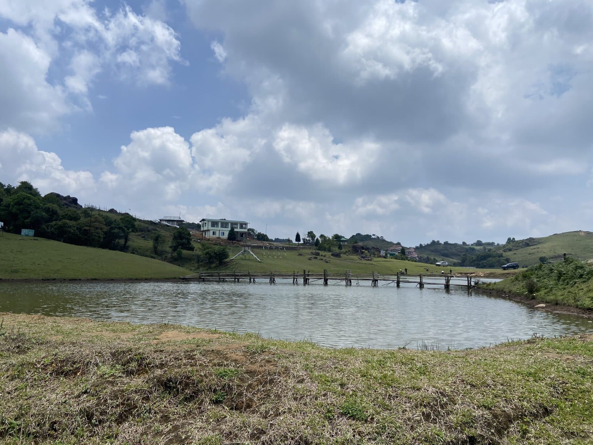
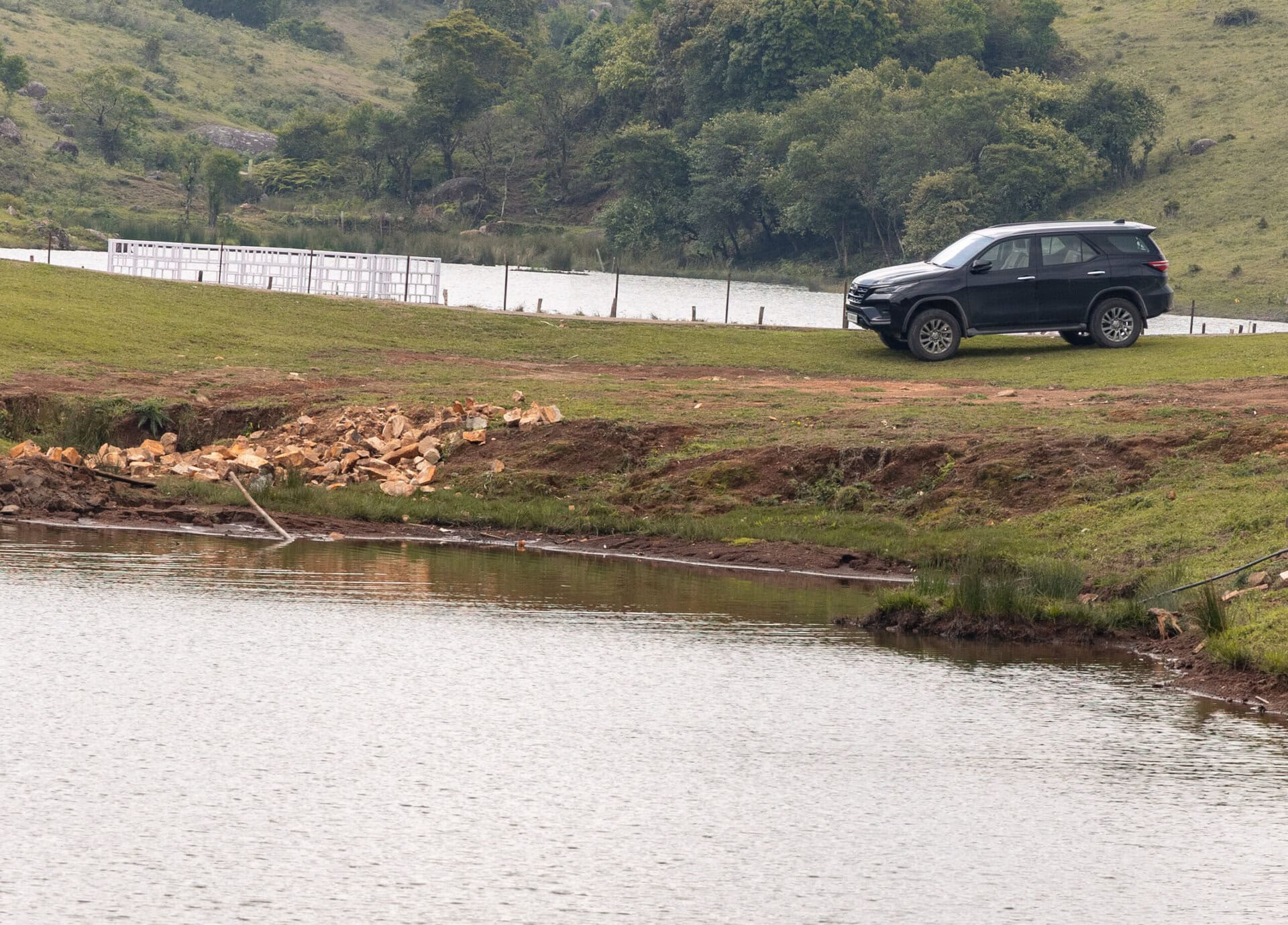
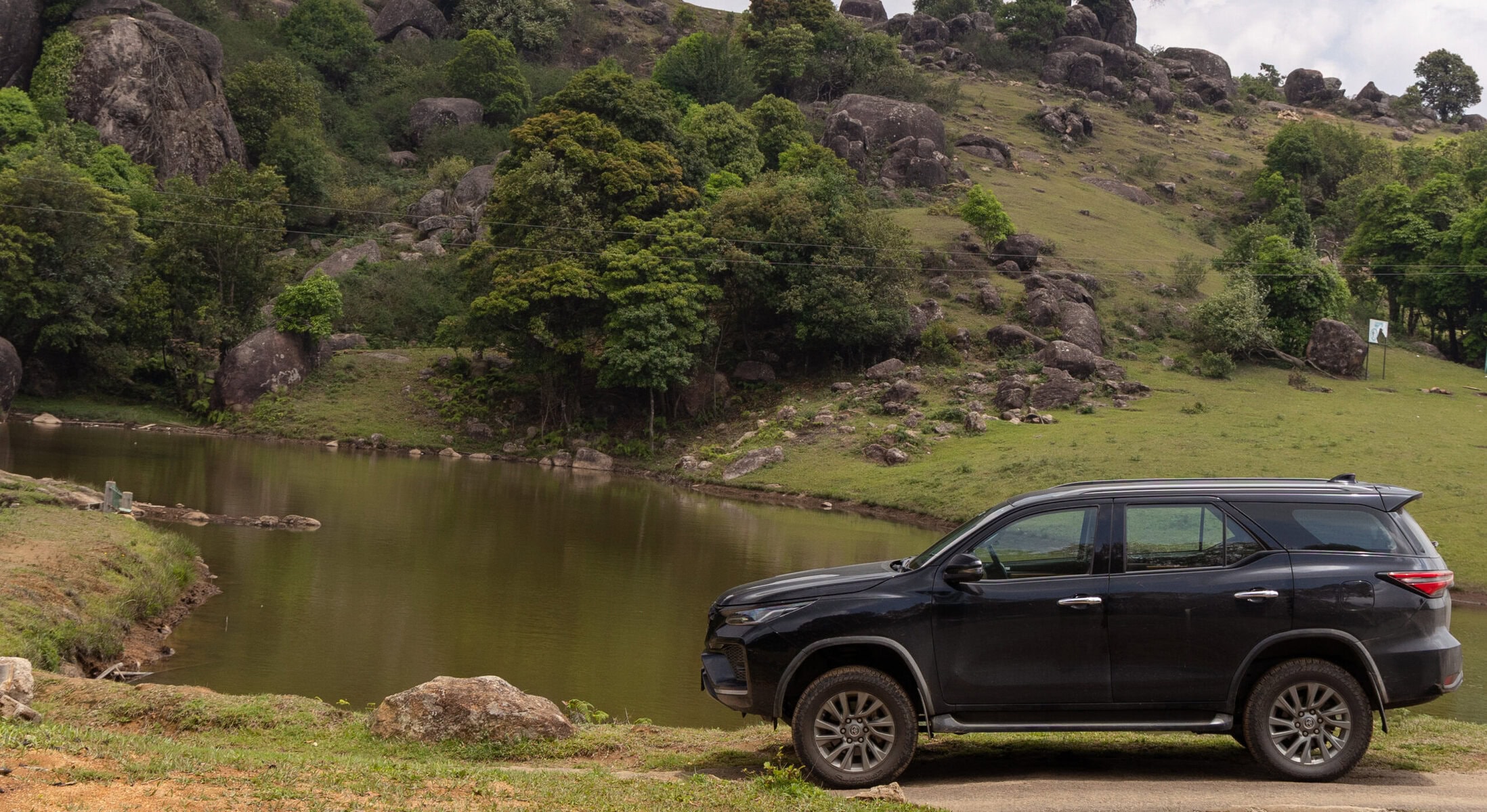
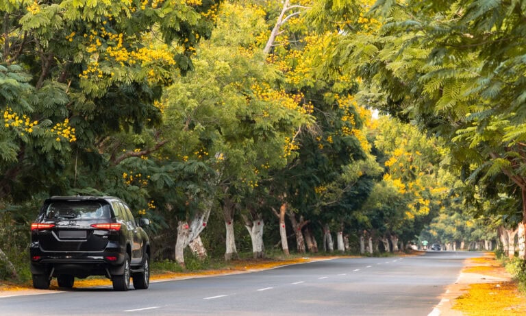
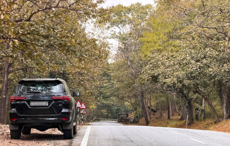
Mawphanlur is a village about 70 kilometers from Shillong, known for its scenic lakes. It was bliss driving through wide, smooth, winding roads with sparse traffic to Mawphanlur.
Then, as usual, Google put me through some narrow roads to the wrong location. I had to find my way back and reach the correct place using the satellite view to locate the lake. We reached the lake around noon, and I found the place to be a little underwhelming. The place was quite deserted, with not a soul around except for some workers who were working on maintenance work. I would still rate the place to be peaceful and scenic, and it would be better to visit the lake either early in the morning or late in the evening. Maybe it was just my bad mood after the Google Maps fiasco. We spent some time roaming around, taking some family pictures and some car pictures.
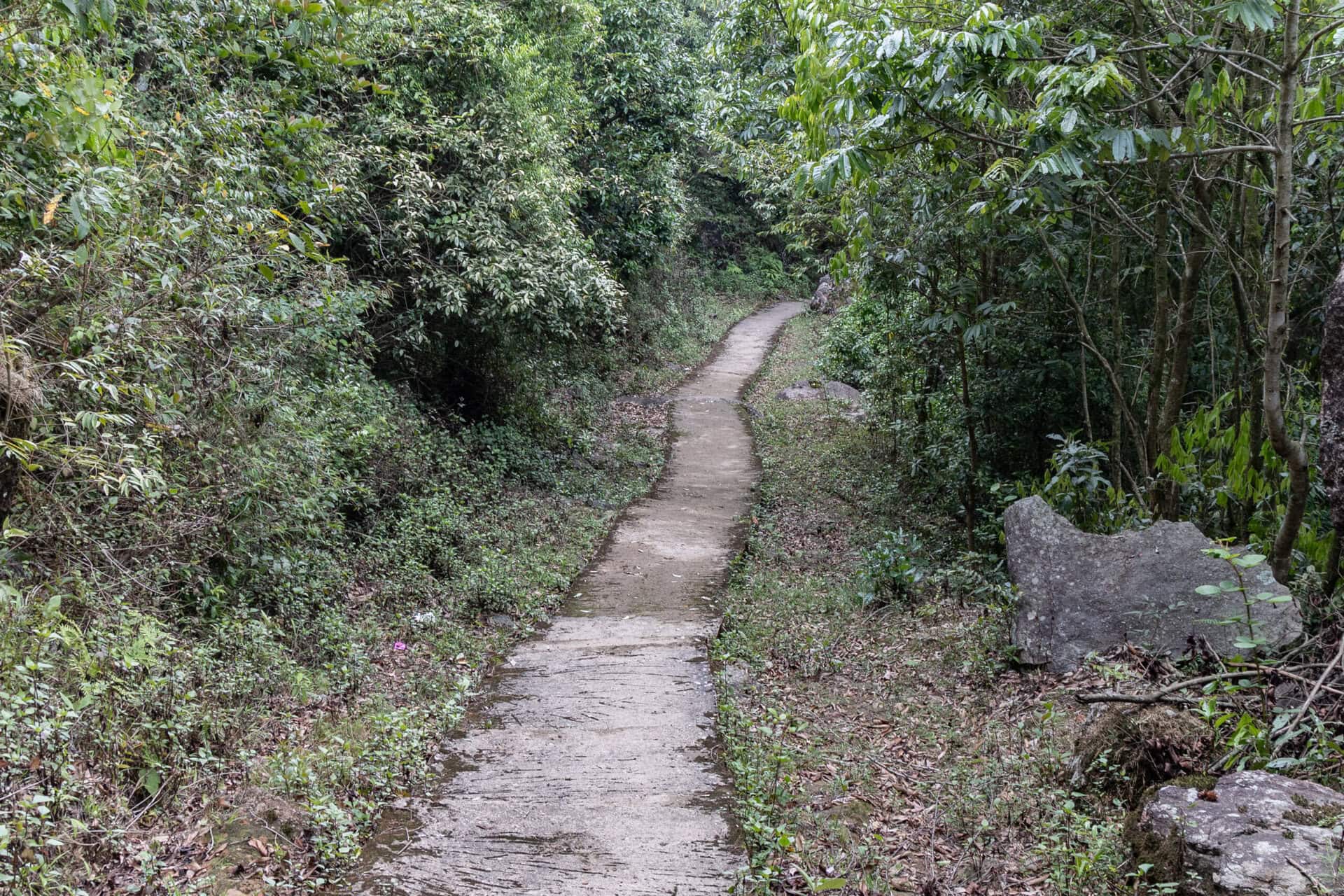
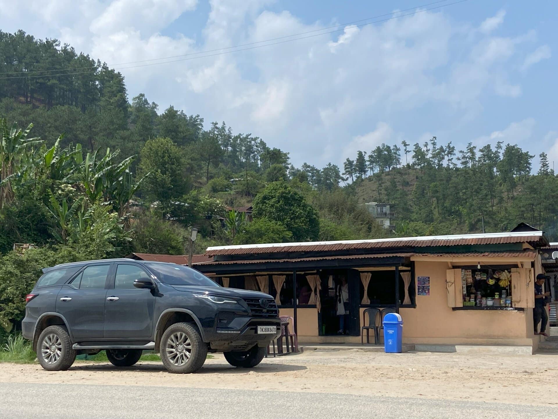
On the way back, we stopped at a small shop for coffee a couple of kilometers from the lake. There was a small hiking path near the coffee shop, and we walked down the trail to enjoy some good views of the valley. After this, we drove to Mawphlang sacred forest, and had lunch at a small Khasi hotel on the highway.
Below are a few pictures from the drive to Mawphanlur.
Mawphlang Sacred Forest
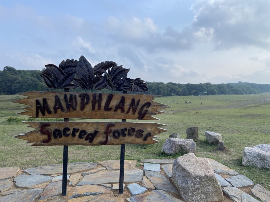
We reached Mawphlang Sacred Forest around 3:00. Below are some facts about the forest.
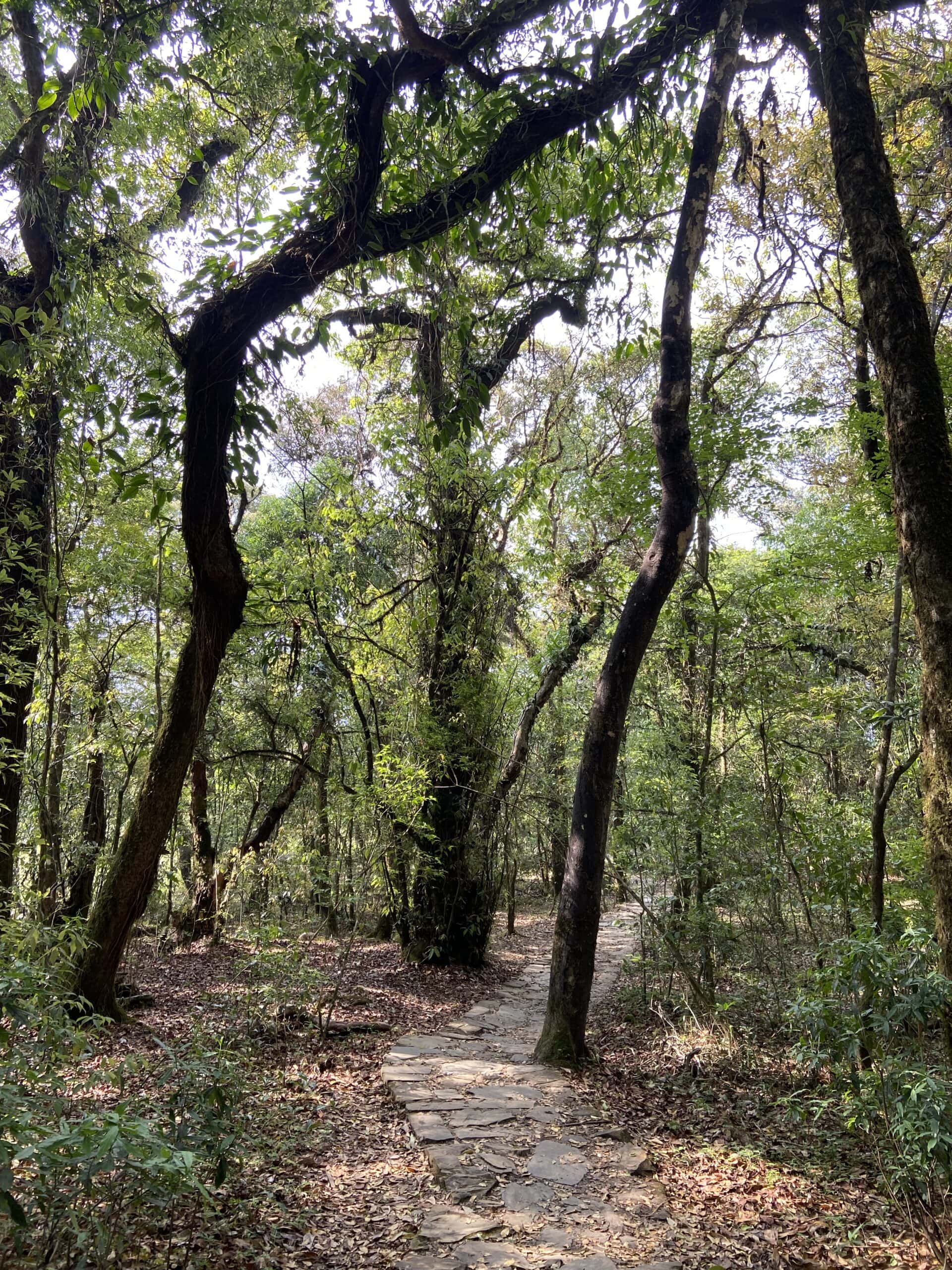
The Mawphlang Sacred Forest, located approximately 25 kilometers from Shillong in Meghalaya’s East Khasi Hills, is a revered ecological and cultural site spanning about 193 acres. Known locally as “Law Lyngdoh,” this ancient grove has been preserved by the Khasi community for over 800 years.
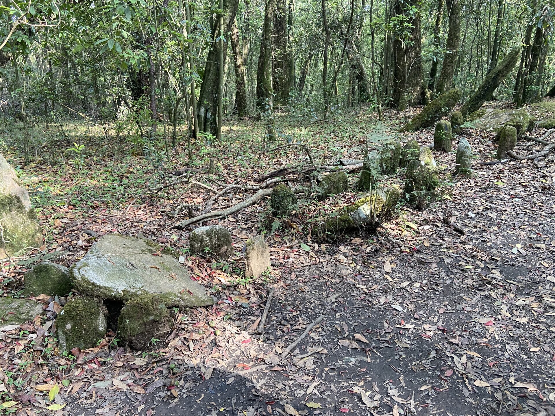
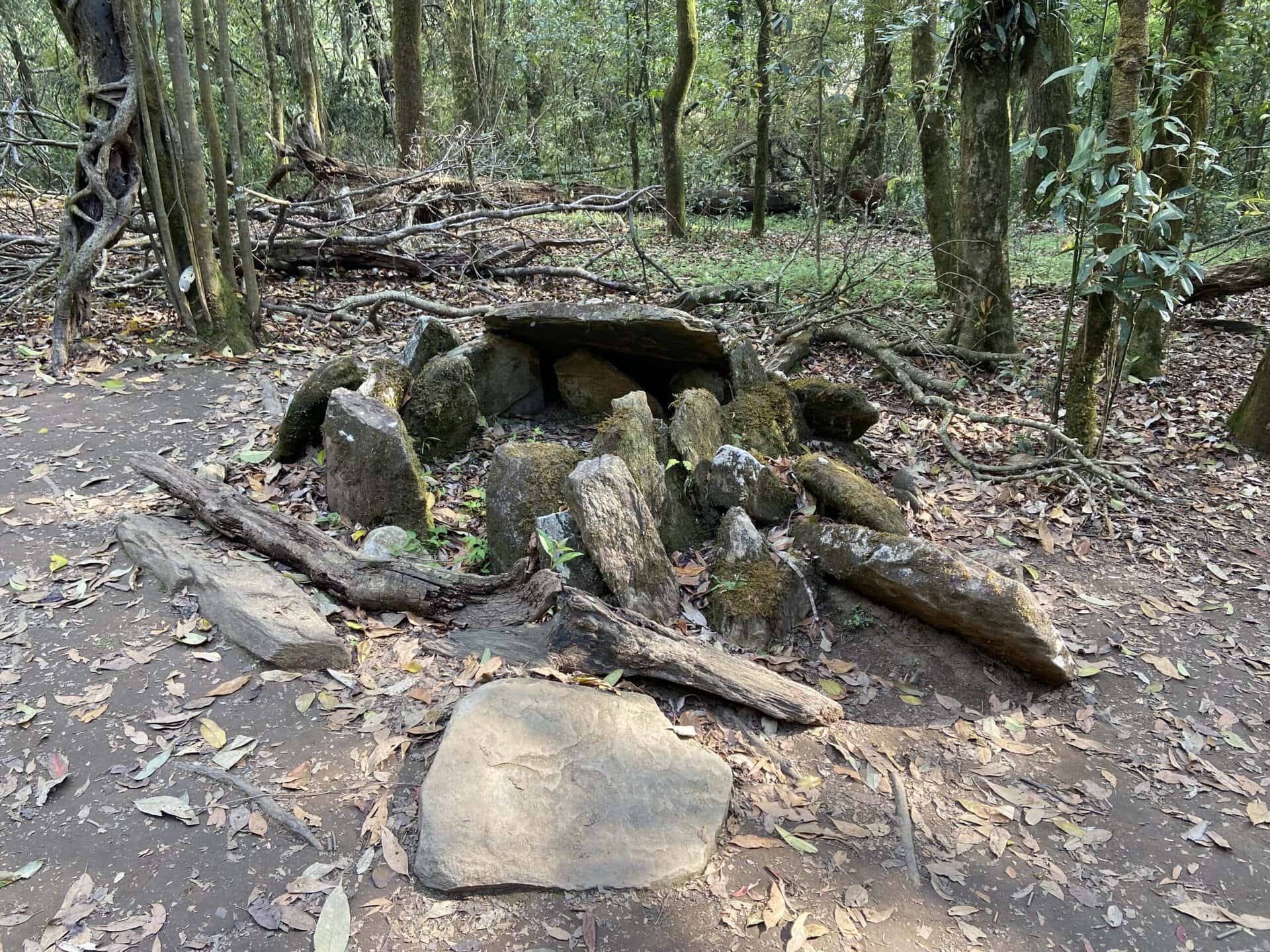
The forest is considered the abode of the local deity, Labasa. Traditionally, rituals and ceremonies were conducted here, with monoliths marking sacred spots. Visitors are strictly prohibited from removing anything from the forest, including leaves or stones, to maintain its sanctity.
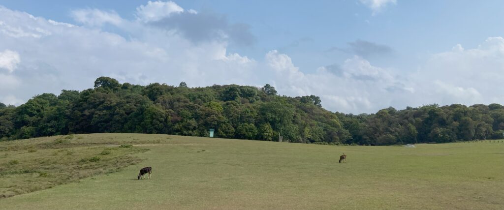
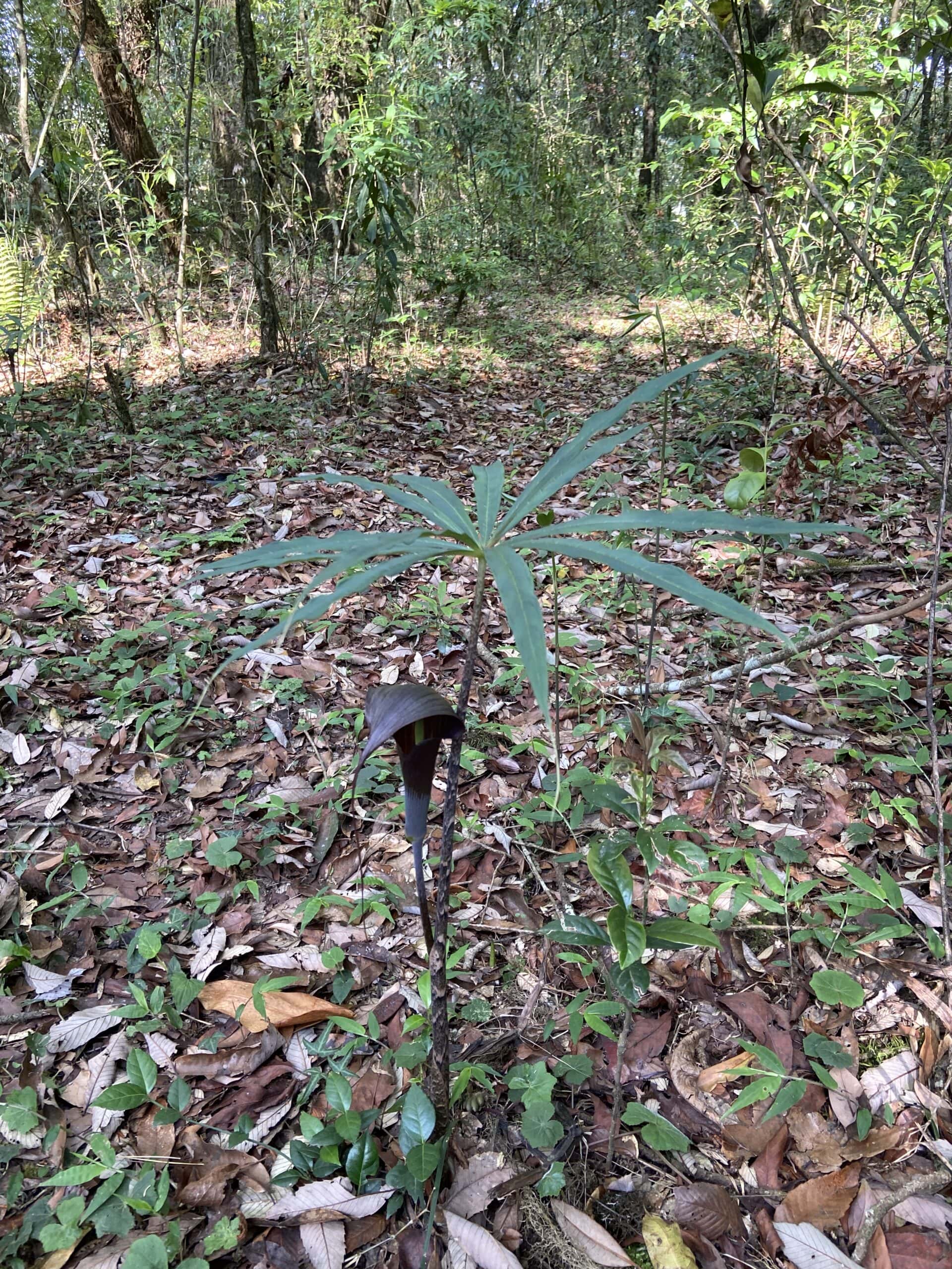
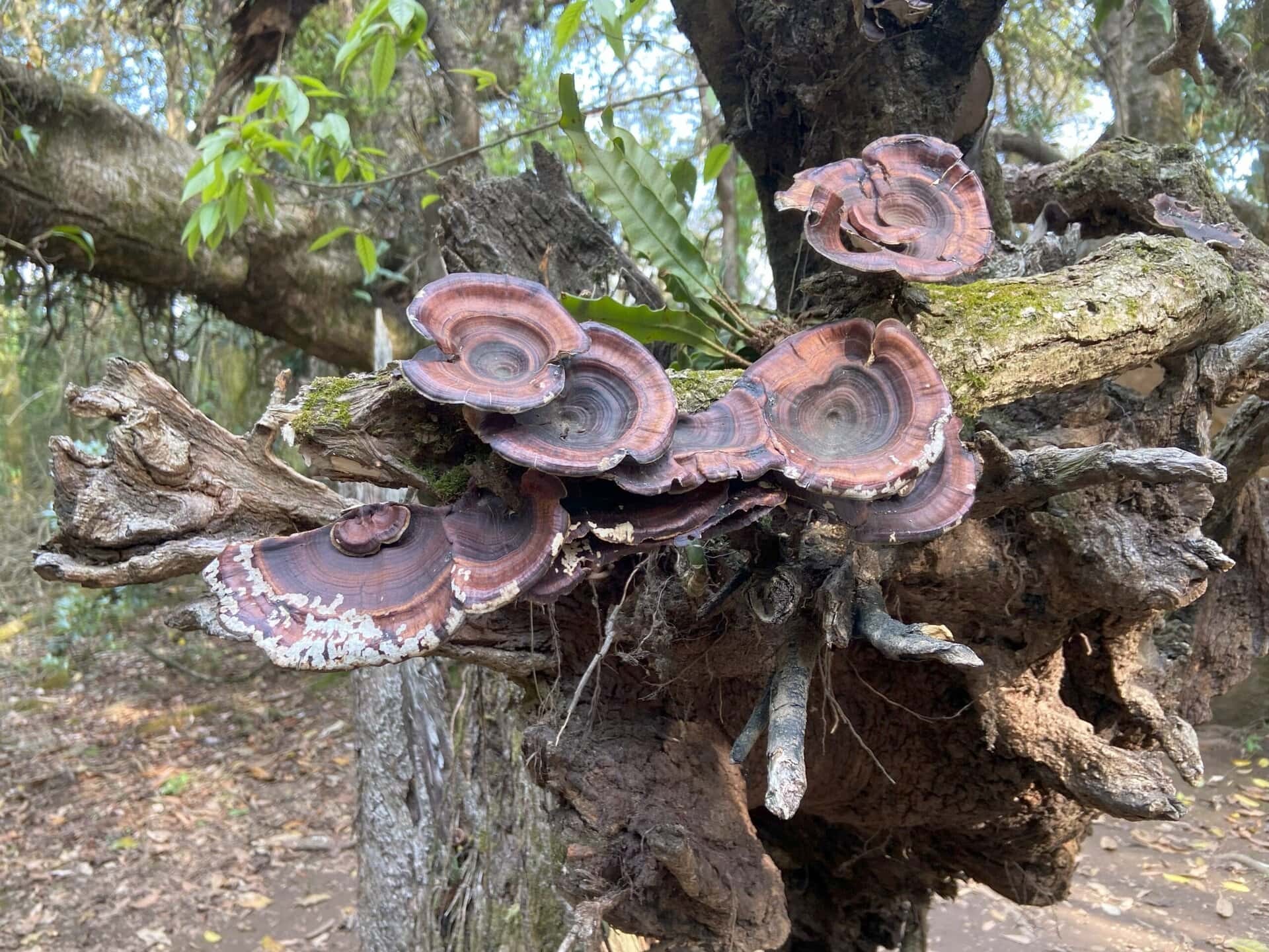
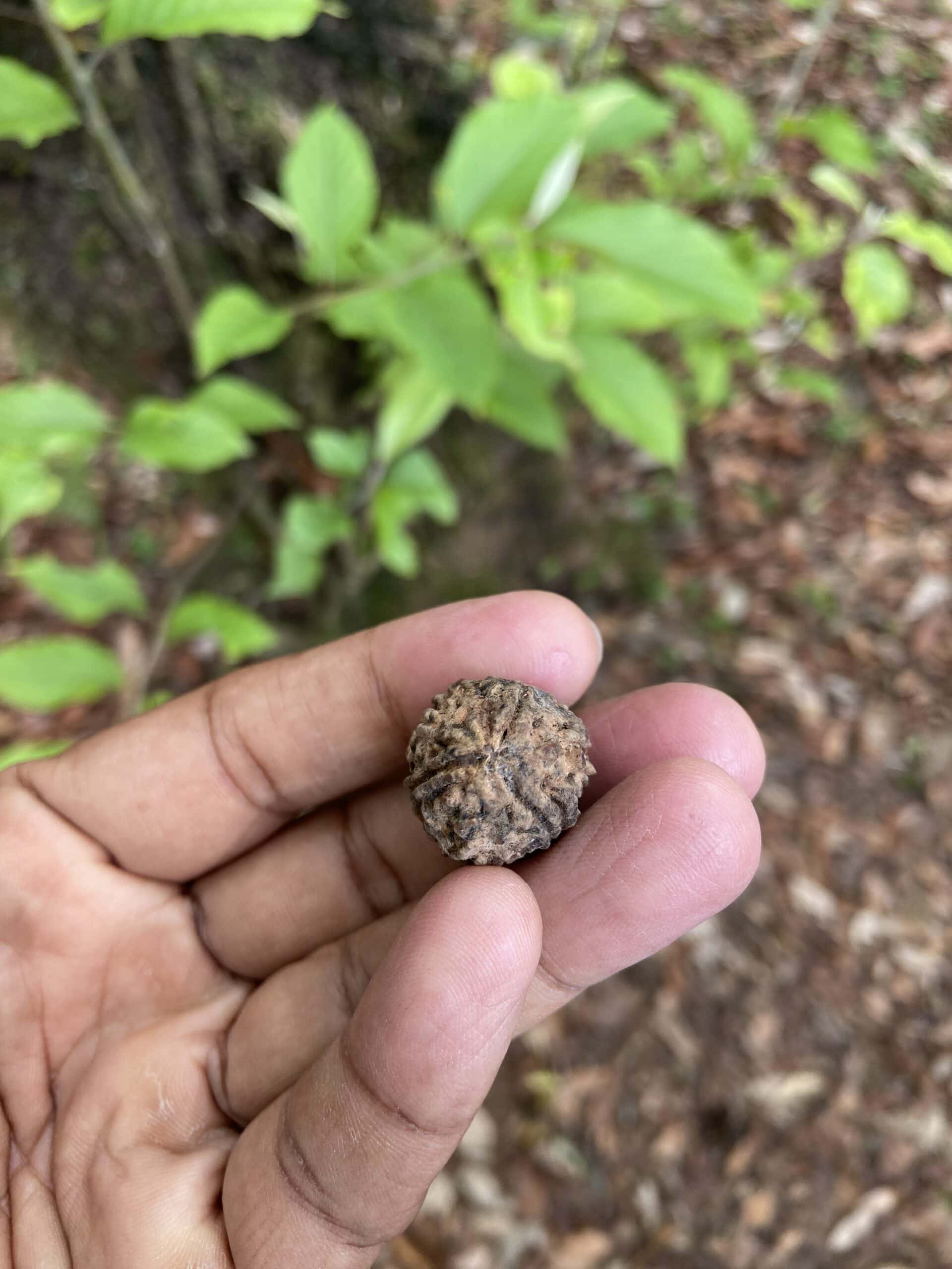
Mawphlang Sacred Forest is a biodiversity hotspot, home to numerous rare and endemic species of plants, including various orchids, ferns, and medicinal herbs. The forest’s undisturbed ecosystem supports a rich array of flora and fauna, making it a vital area for conservation.
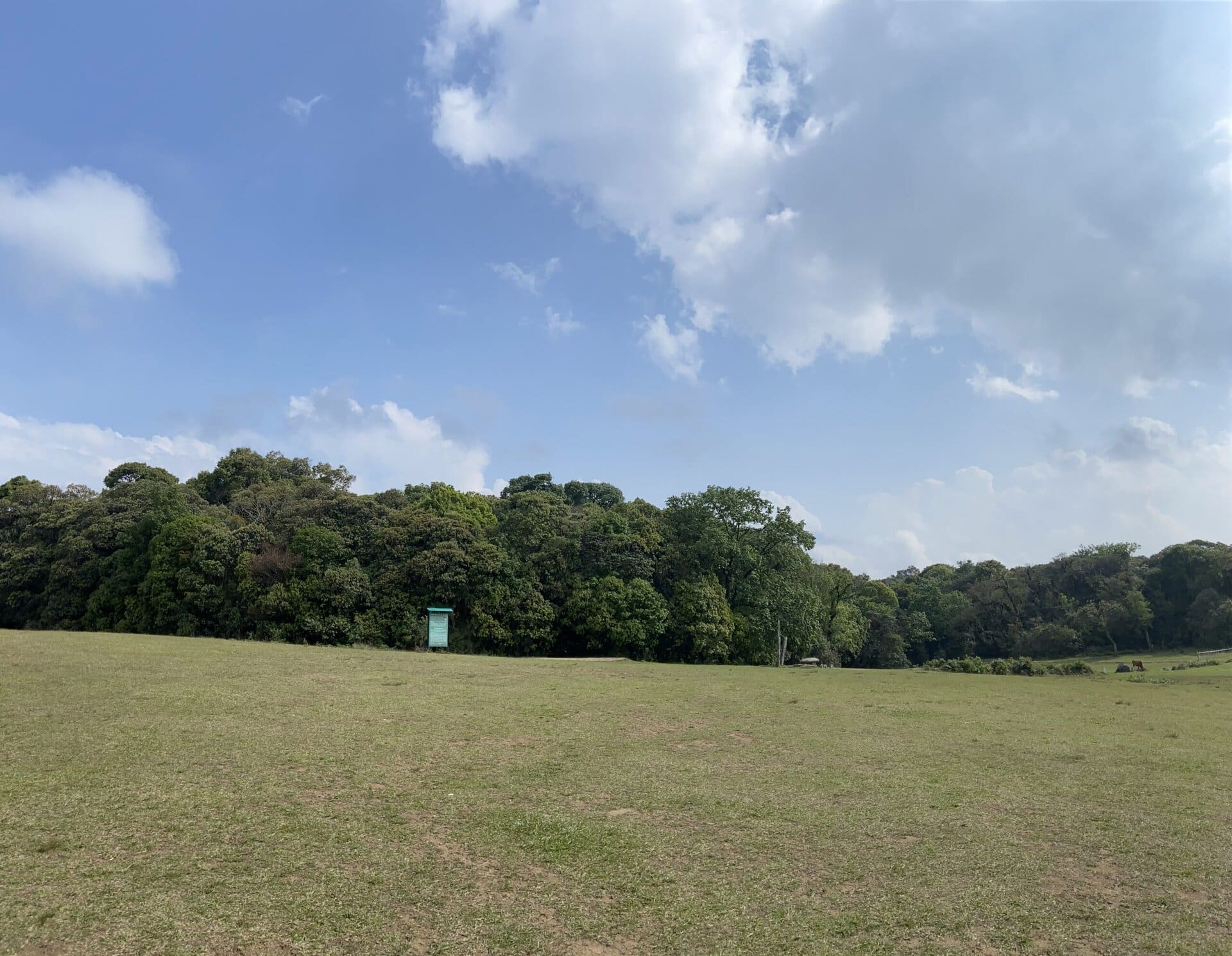
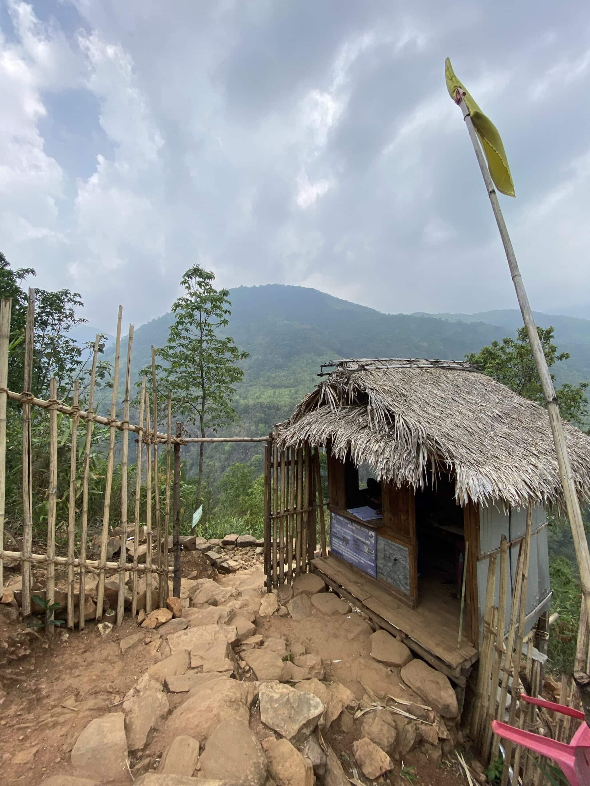
As we wanted to know the cultural facts of the forest, we hired a guide. Also, tourists are allowed to enter the forest only with a guide. They have two types of hikes through the forest – the short and long. The short hike is for about 600 meters and takes about 40 minutes. The long hike has been indefinitely closed to visitors. So I could not get much details about this.
We crossed a vast area of grassland to enter the forest. One thing that struck me immediately is how abruptly the forest started. One moment we are on an open grassland, and another moment inside a dense forest. This reminded me of scenes from some fantasy films where such forests are shown.
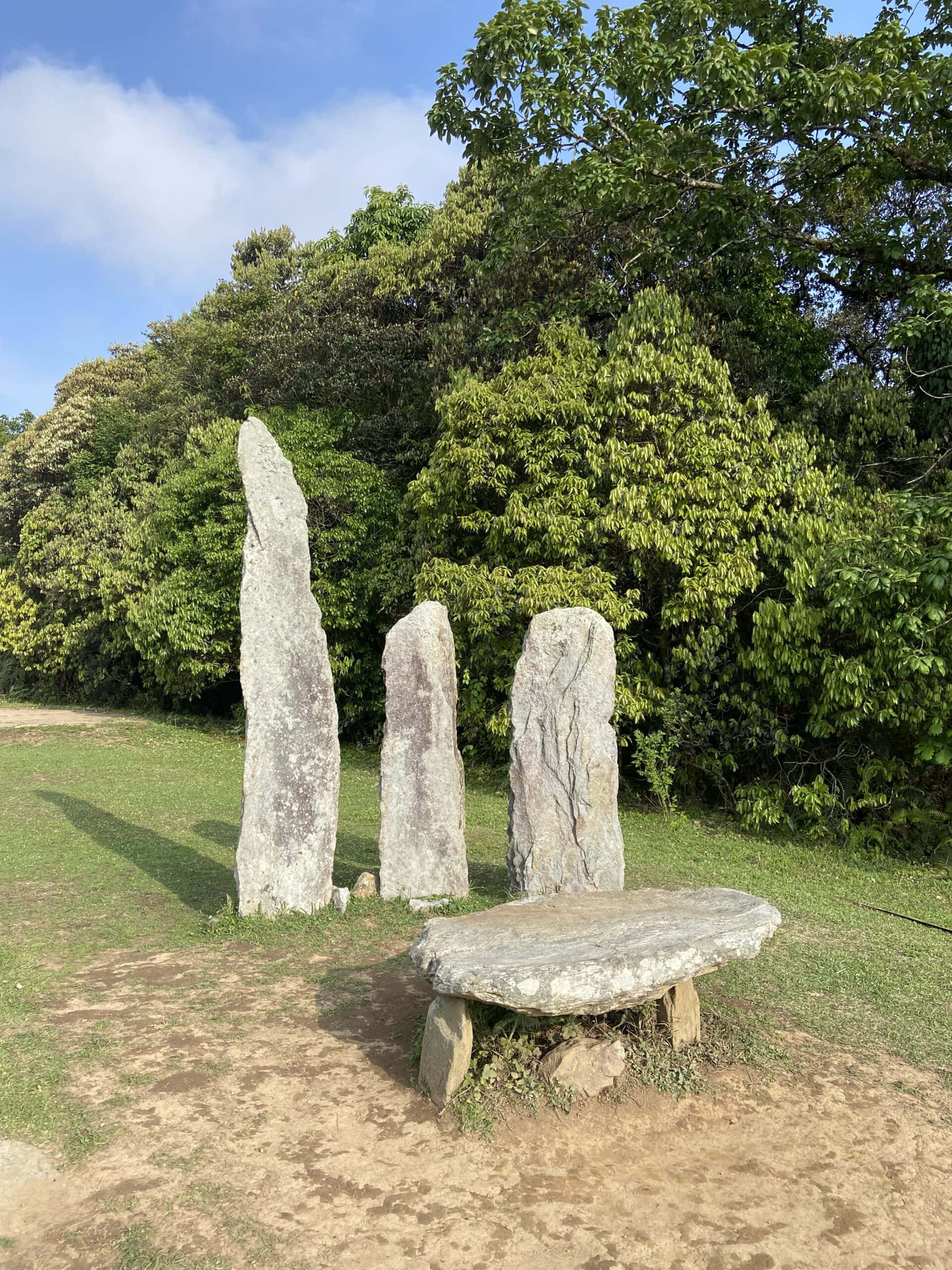
Before we entered the forest, the guide explained to us various facts, like how the locals have been performing rituals inside the forest. Locals believe that the local deity gets offended if anything is removed from the forest. They very strongly believe in this tradition, and the guide asked us several times not to take anything out of the forest, not even a leaf. He also explained how women are considered as head of the family in Meghalaya. In several places in Meghalaya, it is a common sight to see three stones placed vertically and one flat stone horizontally. He explained that the three vertical stones represent males in the family and the horizontal stone the female head of the family who forms the main base and support.
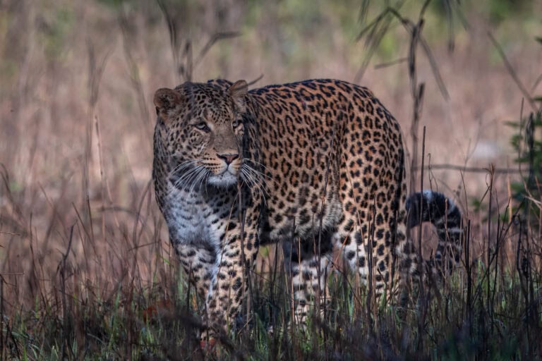
Inside the forest, the guide showed us some interesting plants and trees like Rudraksha tree, Pine tree, Cobra lily etc. He also showed us the place where locals prepare for the rituals and then conduct rituals. Below are a few pictures from the forest.

Day 14: Mawrynkhang Trek
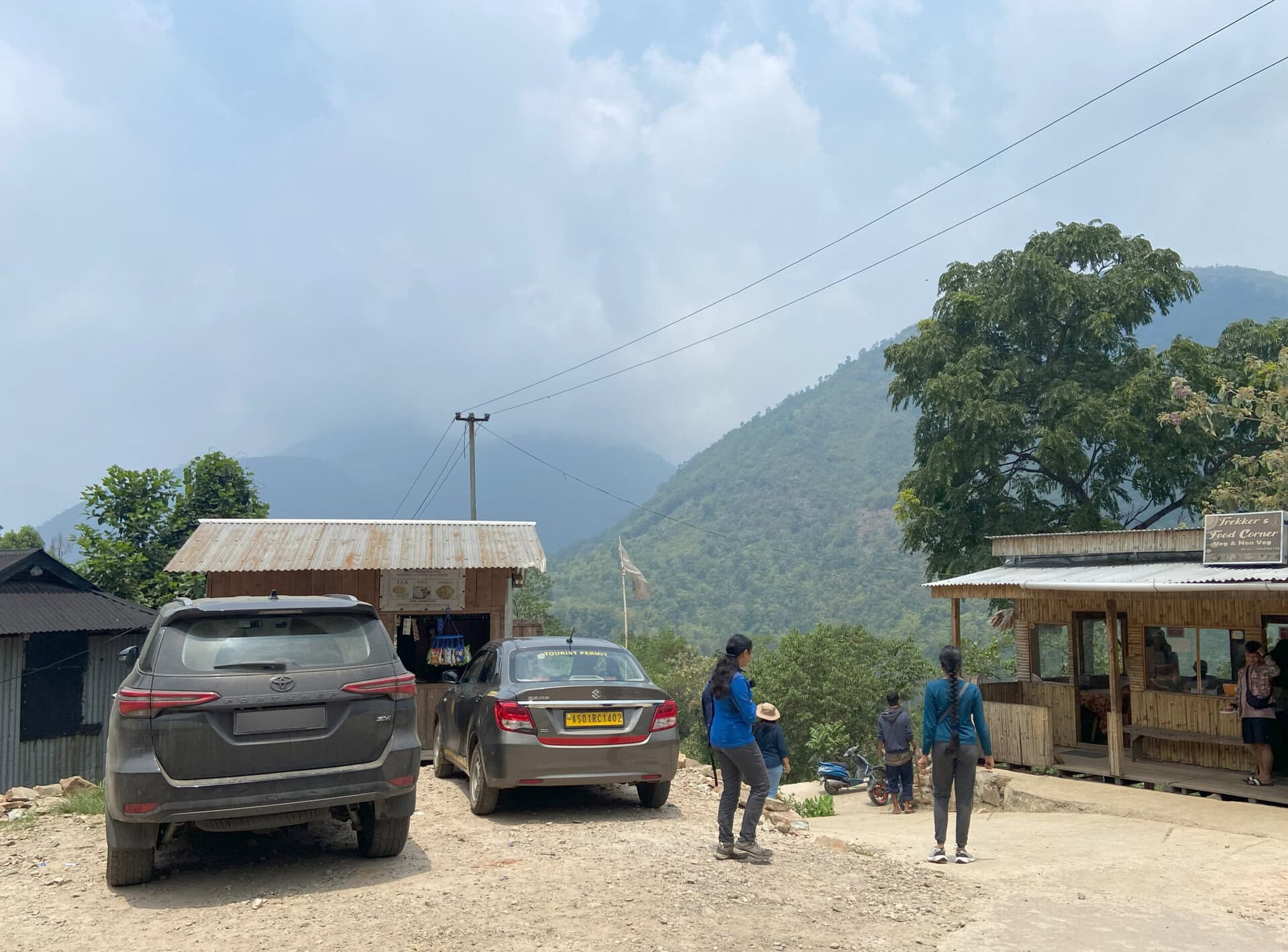
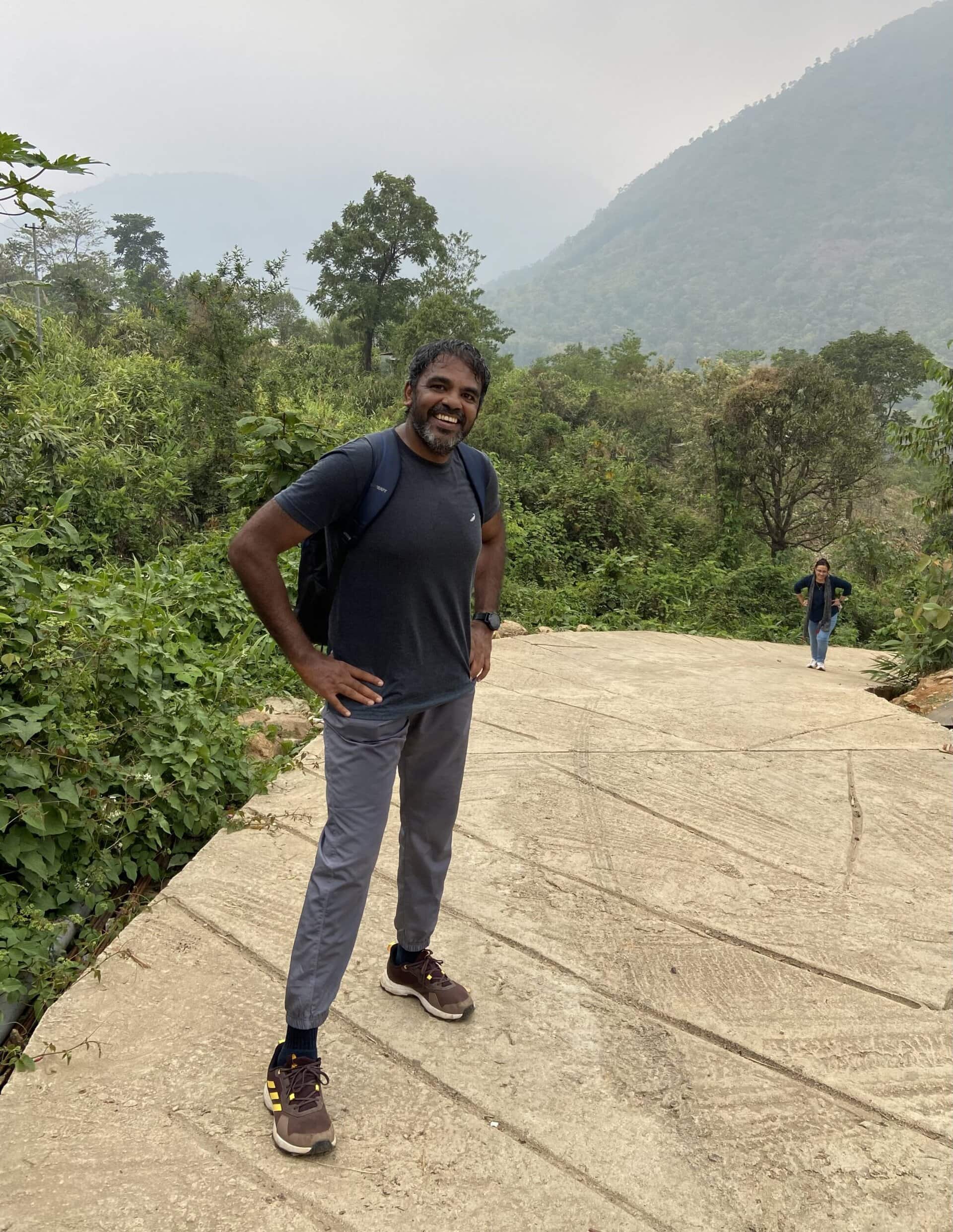
On Day 14, we left the Airbnb early by 7:00, and headed towards the Mawrynkhang trek. We reached the Wahkhen village, the starting point of the trek at around 9:30AM after a quick breakfast on the way.
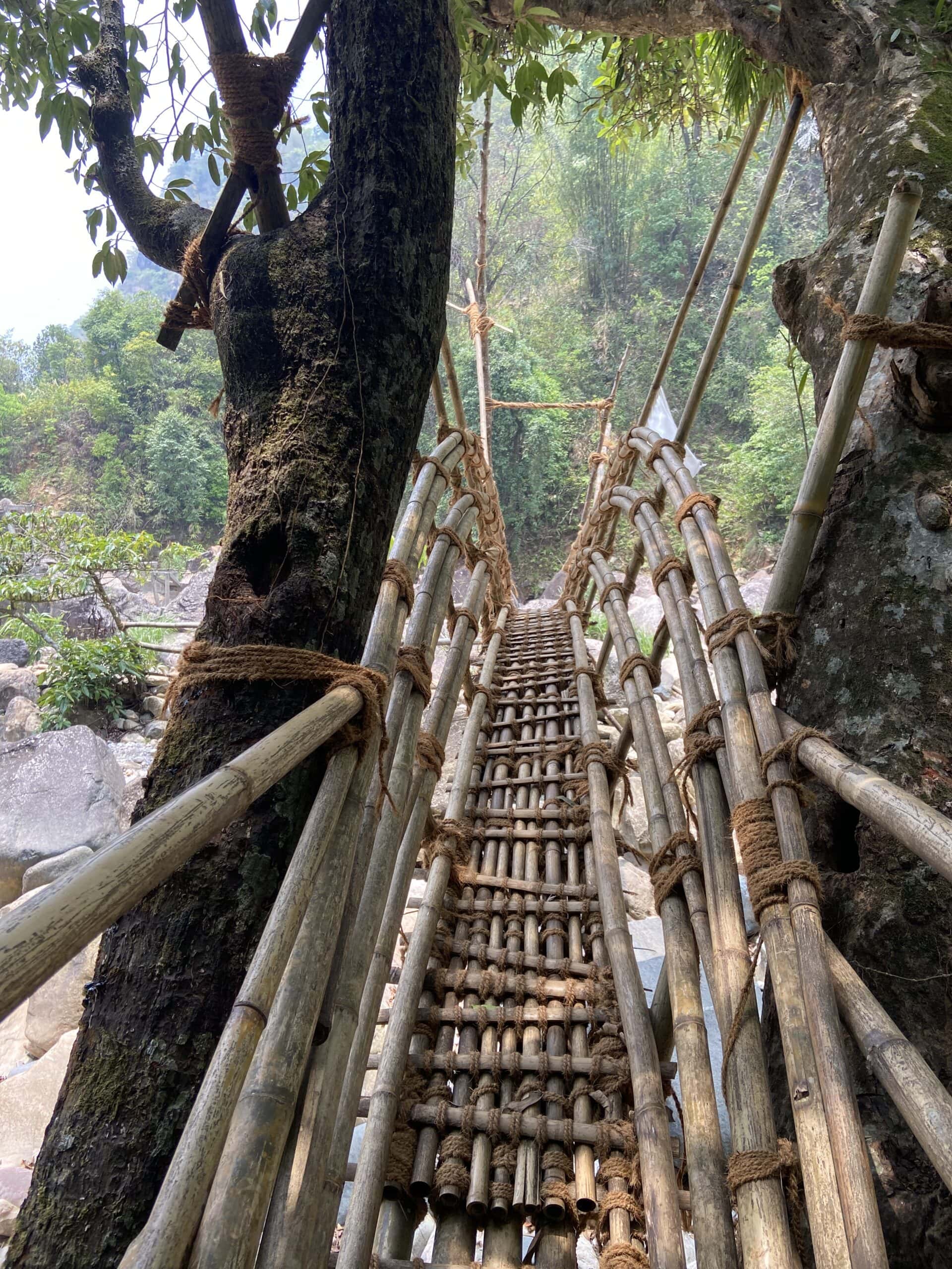
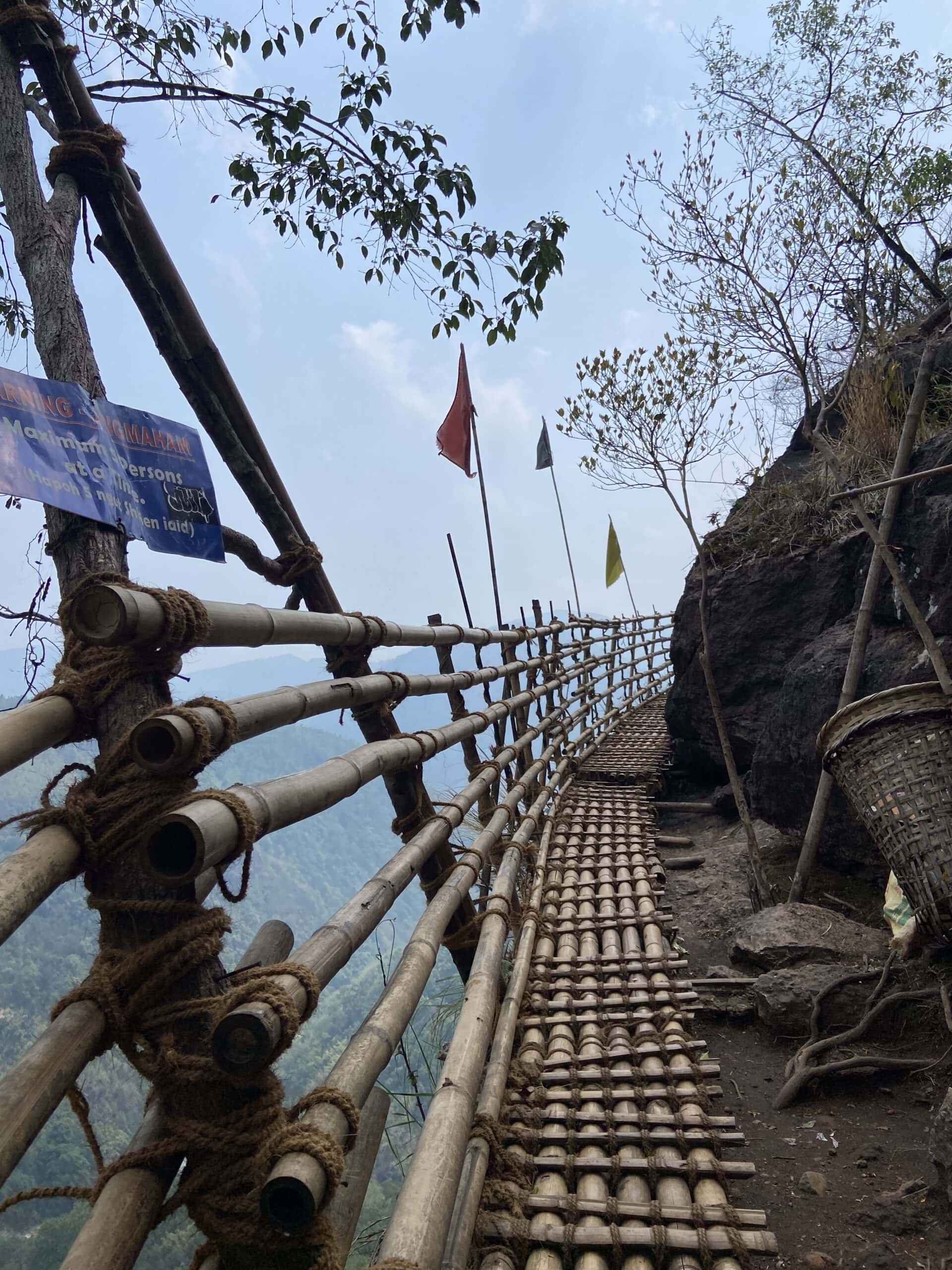
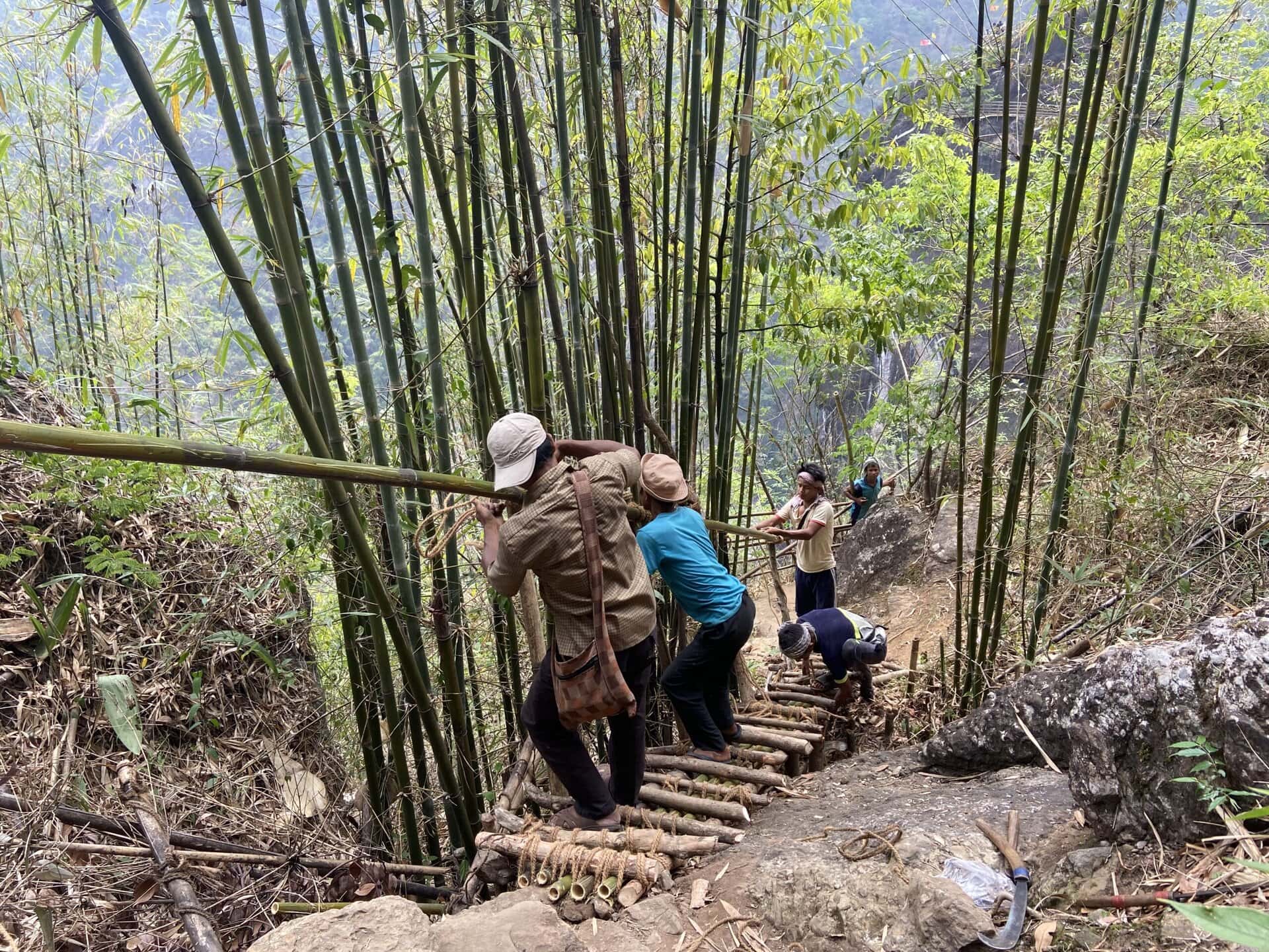
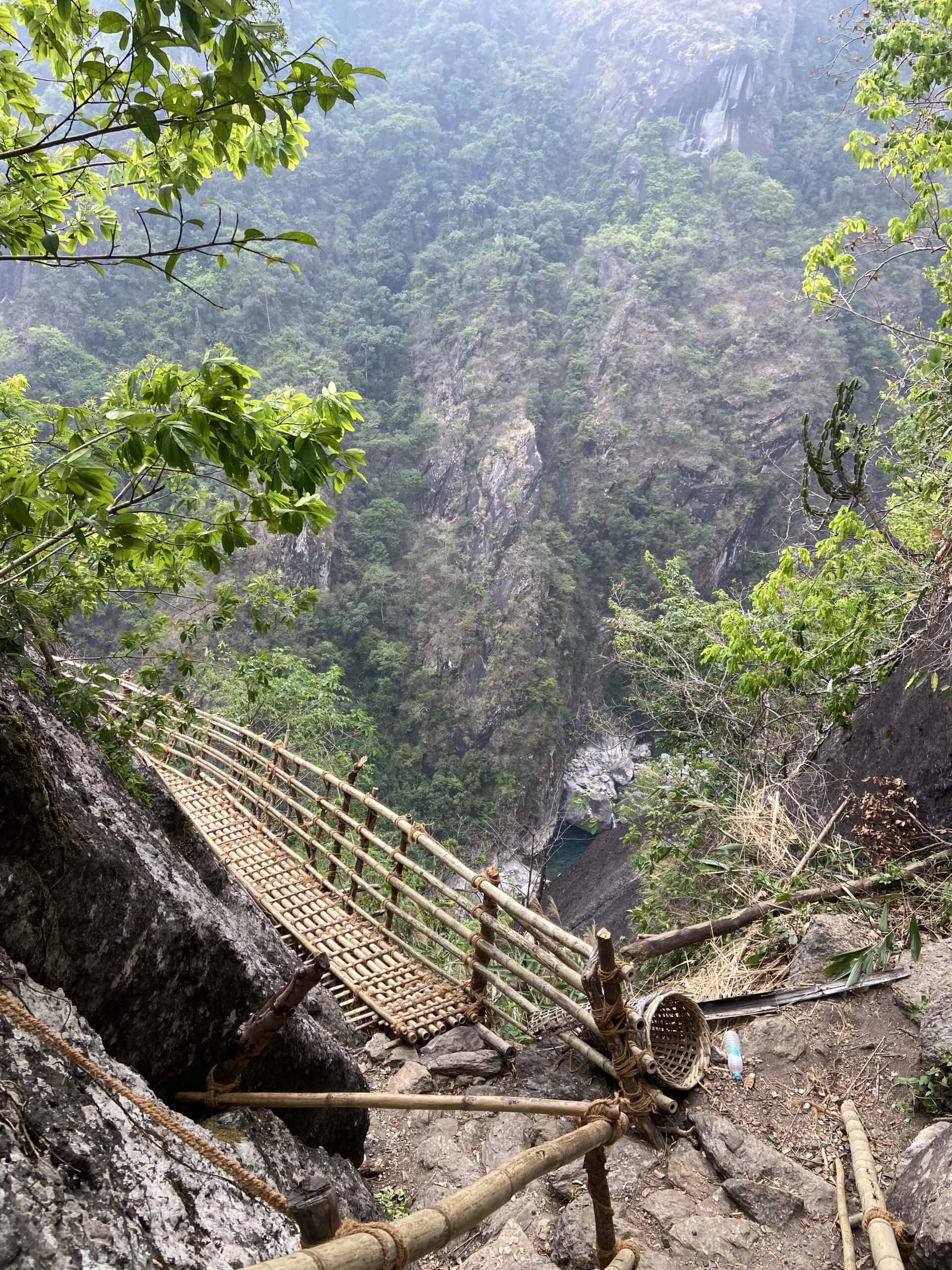
The Mawryngkhang Trek, also known as the Bamboo Trail, is a scenic and thrilling trek. The trek is situated in East Khasi hills and is a blend of scenic beauty and adrenaline-pumping adventure. The trek starts at Wahkhen village, about 50 kilometers from Shillong, and takes anywhere between 3 and 5 hours to complete. The trek features over 50 bamboo bridges and ladders, which are made and maintained by the local villagers. These structures cross streams and gorges, climb steep rocks, or hug cliffs with gorges hundreds of feet below on one side. There are small shacks selling refreshments like tea, snacks, and soft drinks at frequent intervals throughout the trek.
There is a local Khasi folklore associated with this trek:
U Mawryngkhang, meaning “King of Stones,” fell in love with a stone maiden named Kthiang. However, another stone, Mawpator, also desired her, leading to a fierce battle. Mawpator severed Mawryngkhang’s left arm, but Mawryngkhang ultimately triumphed by beheading Mawpator. Today, trekkers can see:
U Mawryngkhang: The towering rock symbolizing the king
Kthiang: A smaller rock standing behind Mawryngkhang
Mawpator’s Head: A rock formation in the valley below, representing the defeated rival
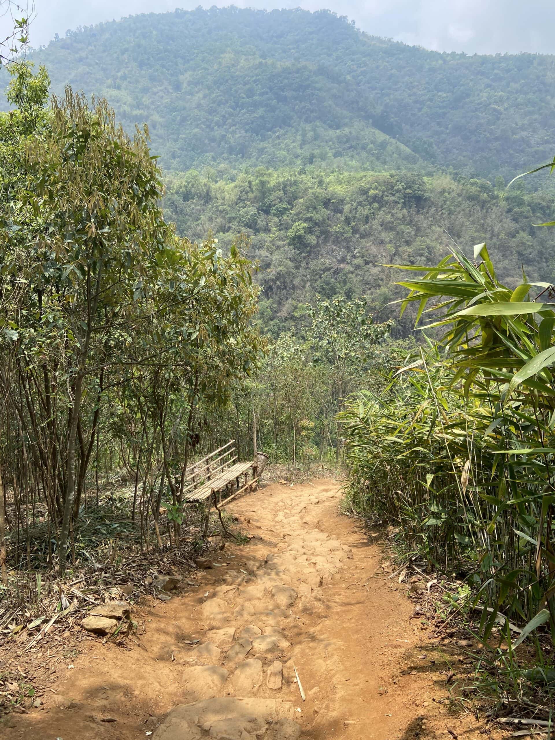
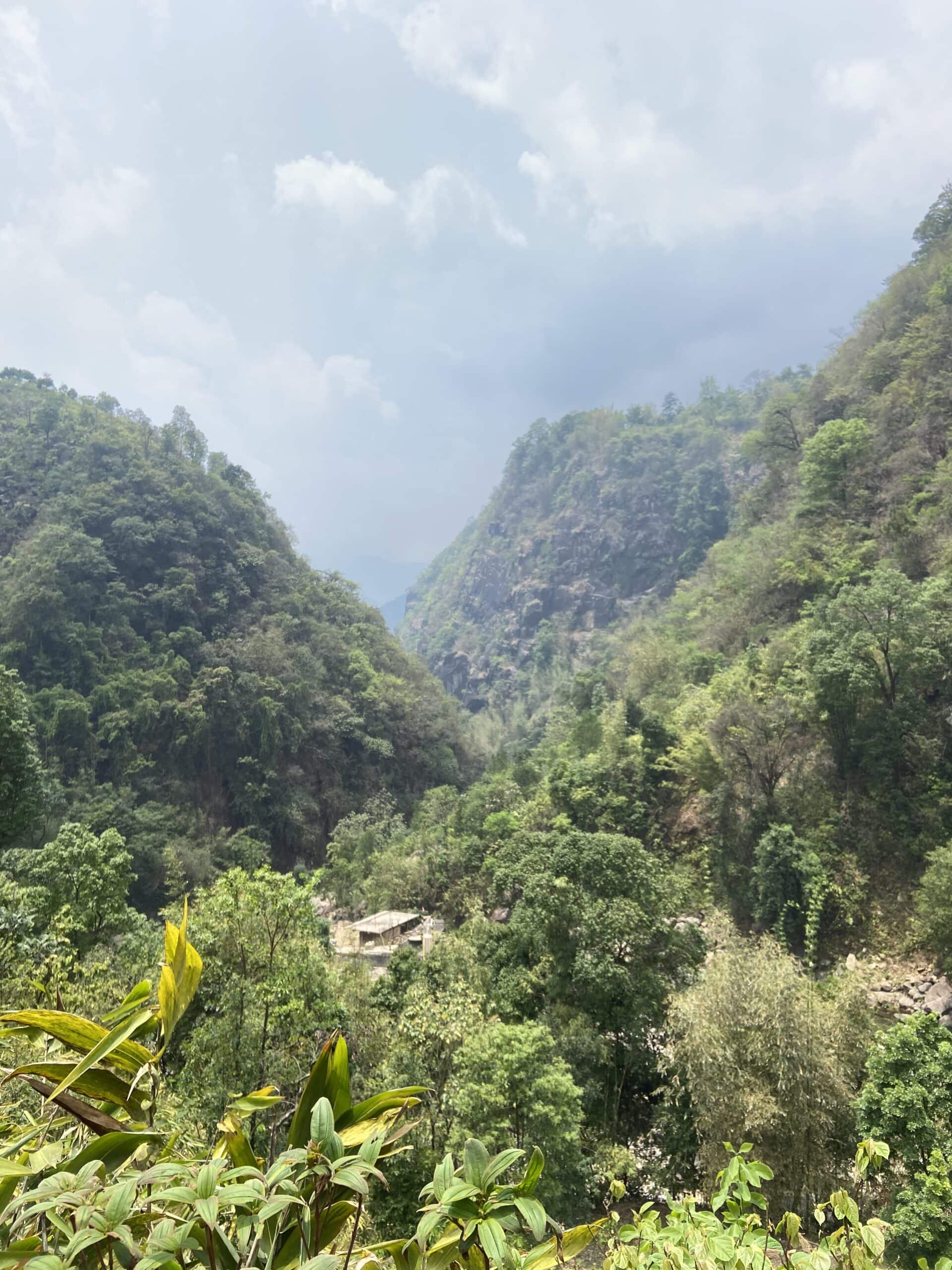
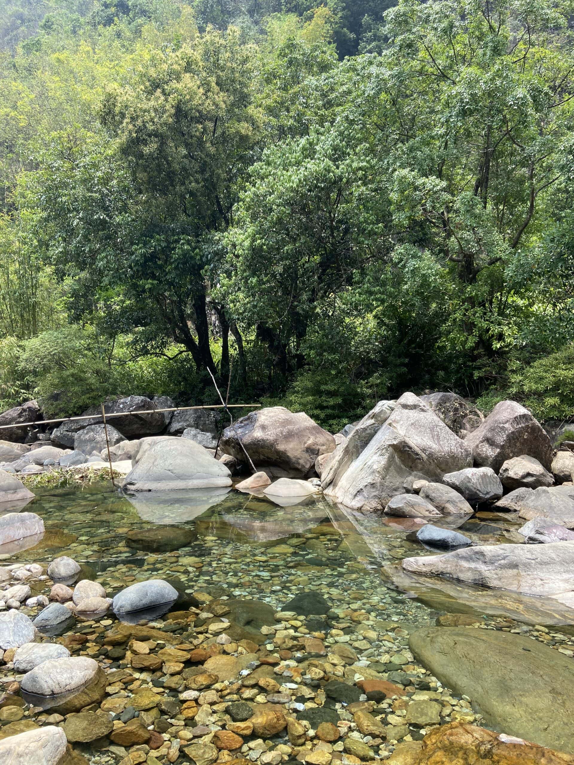
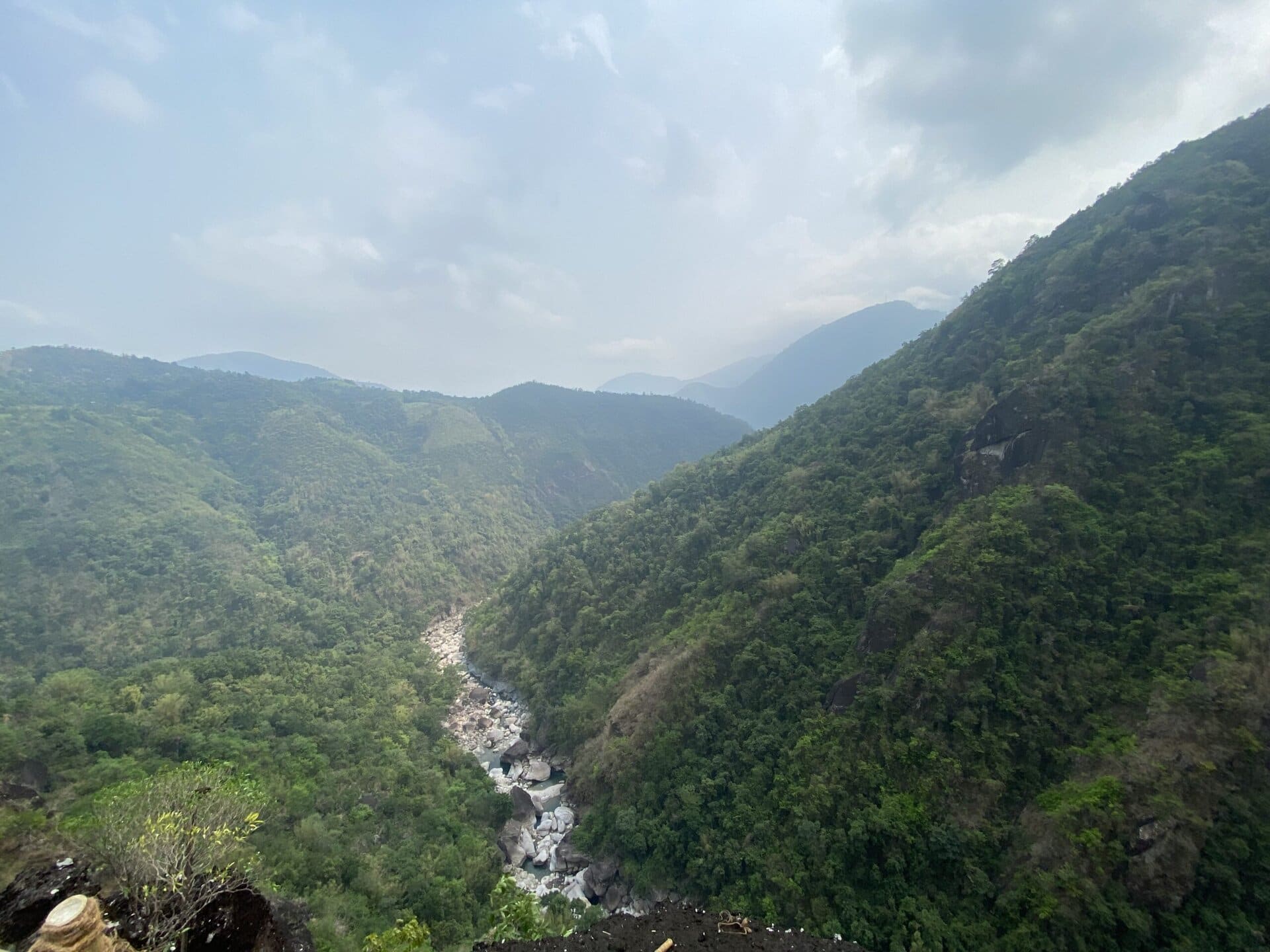
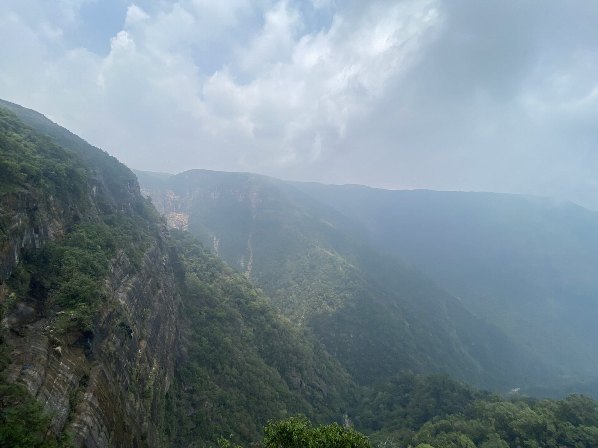
We reached the starting point of the trek around 9:30 AM and started the trek by 10:00 AM. The first part of the trek is a descent through steps and bamboo plantations to the Wahrew River. Here, we saw a small river with crystal-clear water. After this was a section mixed with steep ascents and small descents and lots of bamboo structures. The highlight is the section where the bamboo bridge runs beside a steep cliff. On one side is the steep rock towering above, and on the other side is a steep gorge several hundred feet below.
After this, we reached a small vantage point from where we could see the U Mawrynkhang and the surrounding landscape. The last section was a series of steep ladders that led to the summit. It was a thrilling experience climbing this steep section. The view from the summit made all the efforts totally worth it.
For the family, this was the highlight of the trip. It was a sense of great satisfaction sitting with the family on the cliff top and taking in the breathtaking views around. Below are a few pictures from the trek.


We completed the trek by 3:00 PM, and had some refreshments in the shop at the parking place. After this, we drove to Cherrapunji, and reached our place of stay Cherrapunji Holiday Resorts. The resort is situated some 20 kilometers from Cherrapunji and took almost an hour to reach due to very narrow roads.
The initial plan was to cover Arwah caves and Garden of caves this day. But as we did this unplanned Mawrynkhang trek, we had to drop the caves from the day’s plan. Instead, we decided to do one of the caves the next day.
Day 15: Cherrapunji and Nohwet Living Root Bridge
Nohkalikai Falls
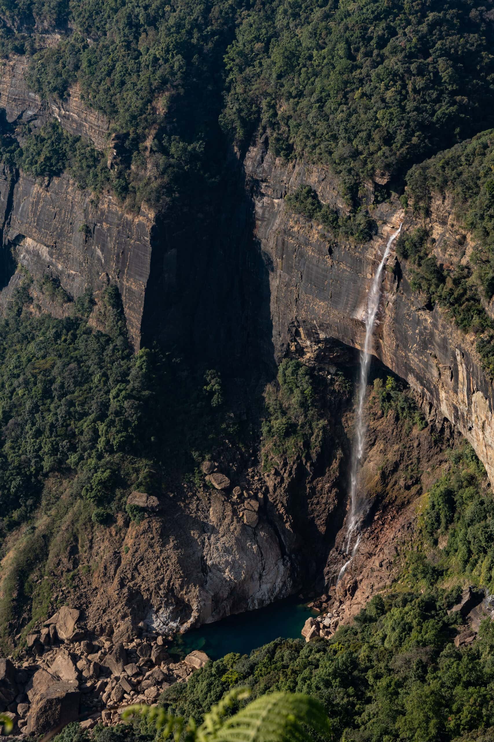
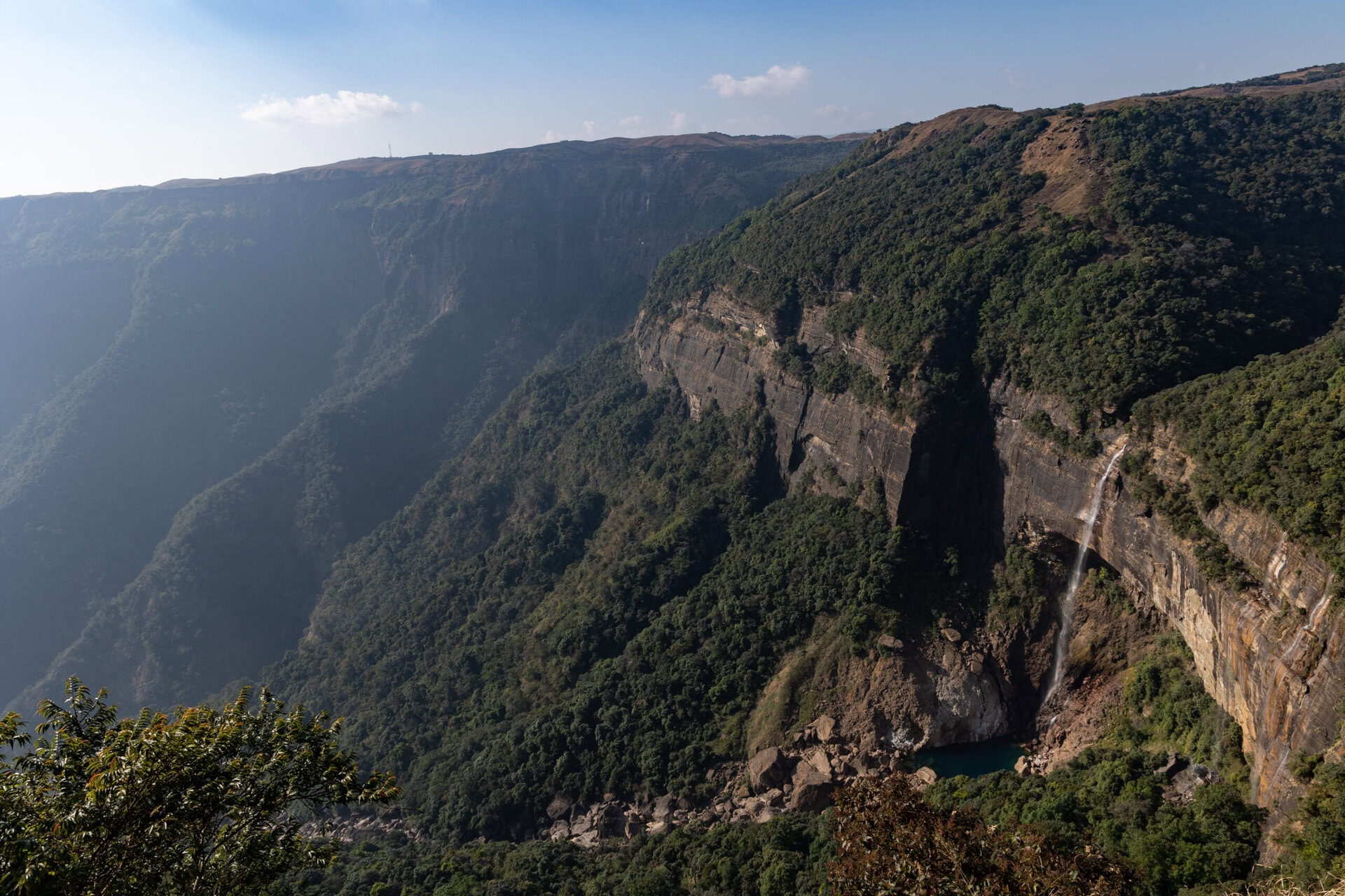
On Day 15, we started from the resort after breakfast, and the first stop was Nohkalikai falls. This falls is a major tourist attraction in Cherrapunji.
Nohkalikai Falls, is India’s tallest plunge waterfall, dropping approximately 340 meters (1,115 feet) into a turquoise pool below. The name Nohkalikai means “Leap of Likai” in Khasi, and it comes from a tragic local legend that gives the waterfall its haunting identity.
Likai was a young woman from a village near present-day Cherrapunji. She had lost her husband and was raising her infant daughter alone. To support them, she worked as a porter, carrying loads for a living.
After some time, she remarried. But her new husband grew jealous of the attention Likai gave to her daughter. One day, when Likai was out working, the man committed a horrifying act — he killed the child and cooked her flesh into a meal.
When Likai returned home exhausted, she unknowingly ate the food he had prepared. Later, when she went to look for her daughter, she found a tiny severed finger in the betel nut basket, realizing the horrific truth.
Overwhelmed by grief and shock, she ran to the nearby cliff and jumped off, ending her life. The waterfall where this happened was named Nohkalikai — “the leap of Ka Likai.”
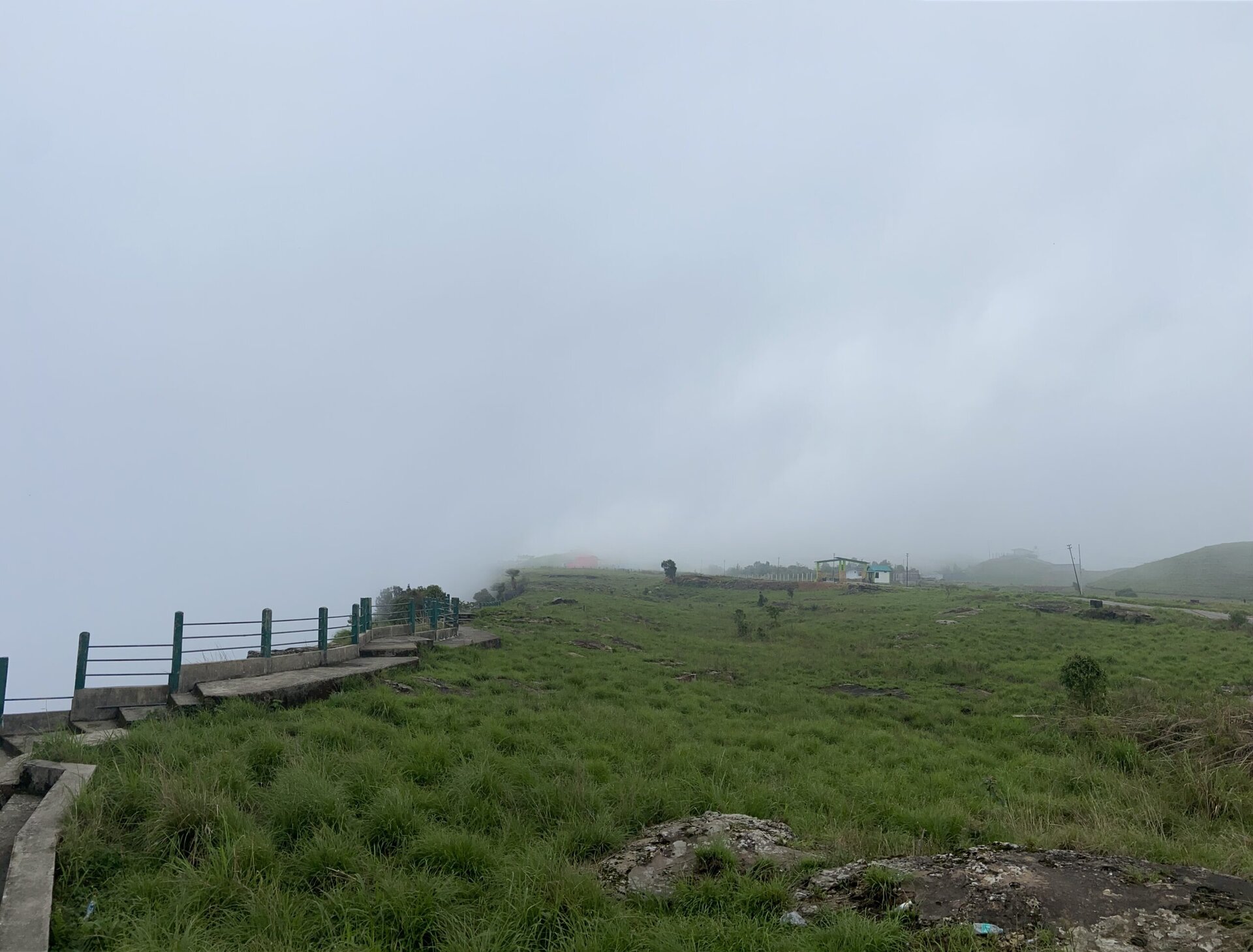
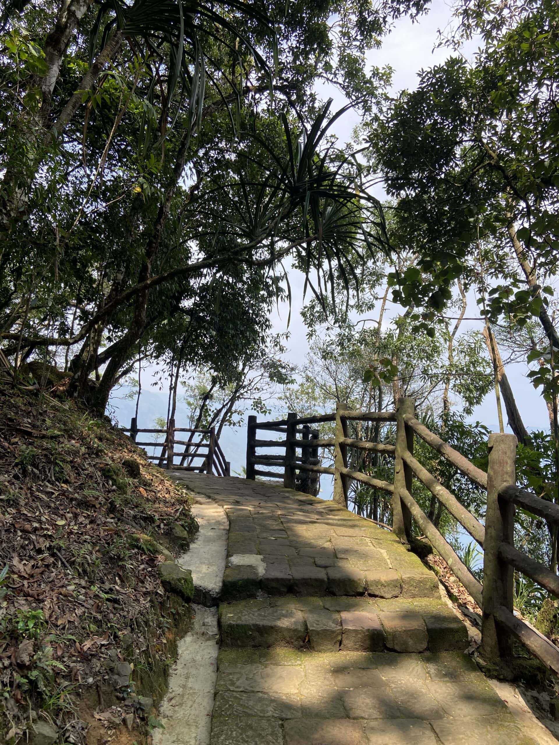
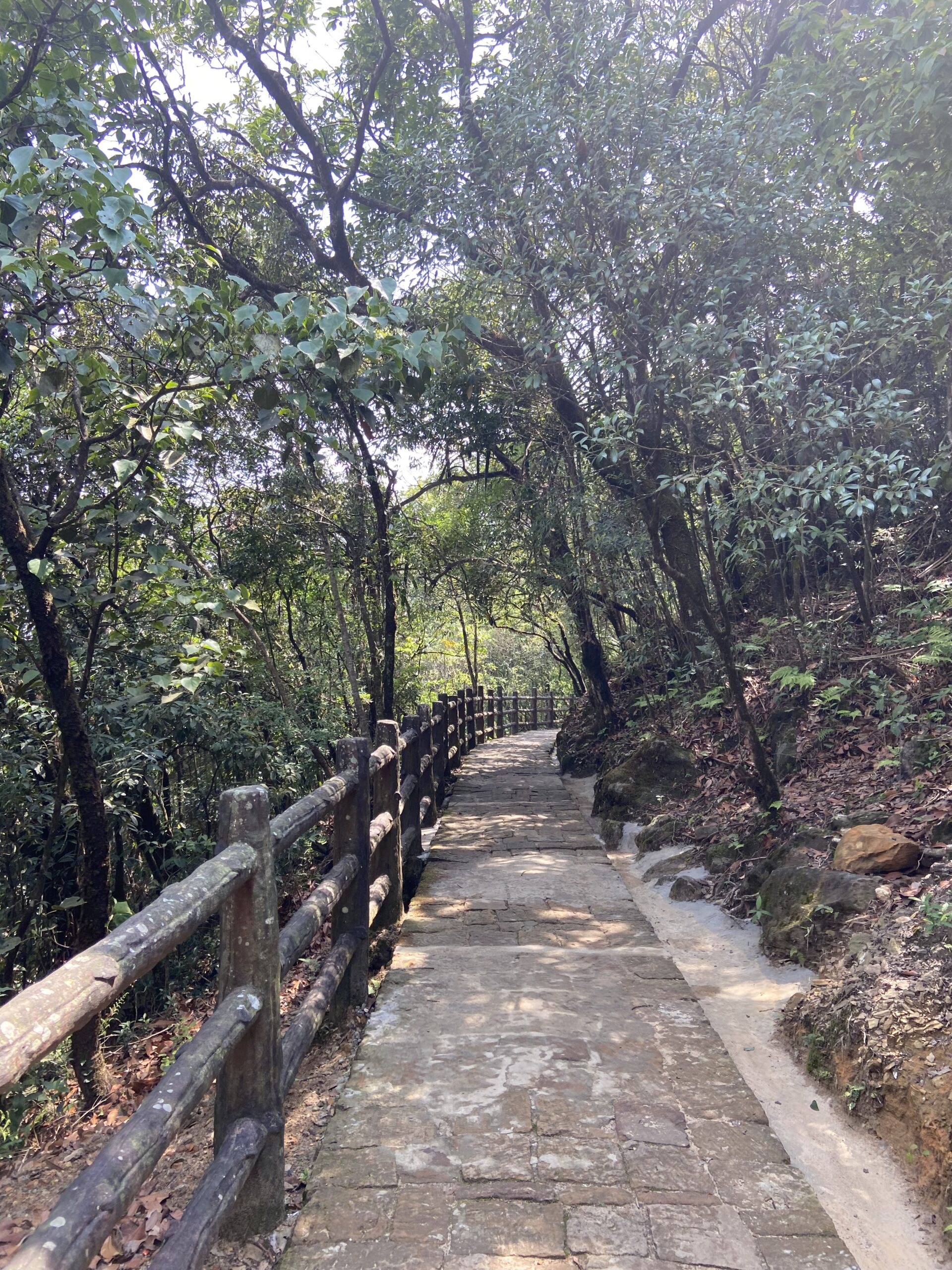
There is a viewpoint from which the waterfalls is visible, beyond a deep valley. Unfortunately, when we reached the place, the valley was completely covered in fog, and nothing was visible. We could just hear the roar of the waterfalls. We waited some 15 minutes for the fog to clear, and after this decided to move on. The family did some shopping for souvenirs, and we drove to our next stop, the Arwah caves. Below are a few pictures. I have added a couple of photos of the waterfalls from my previous trip a few years back.


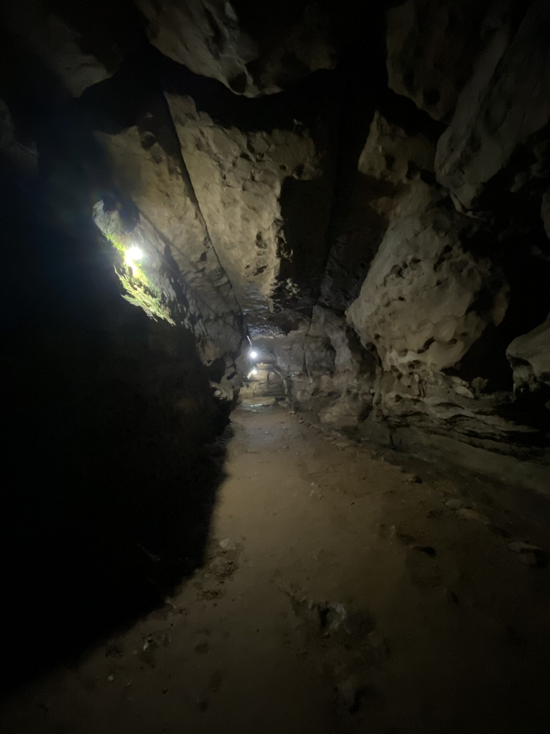
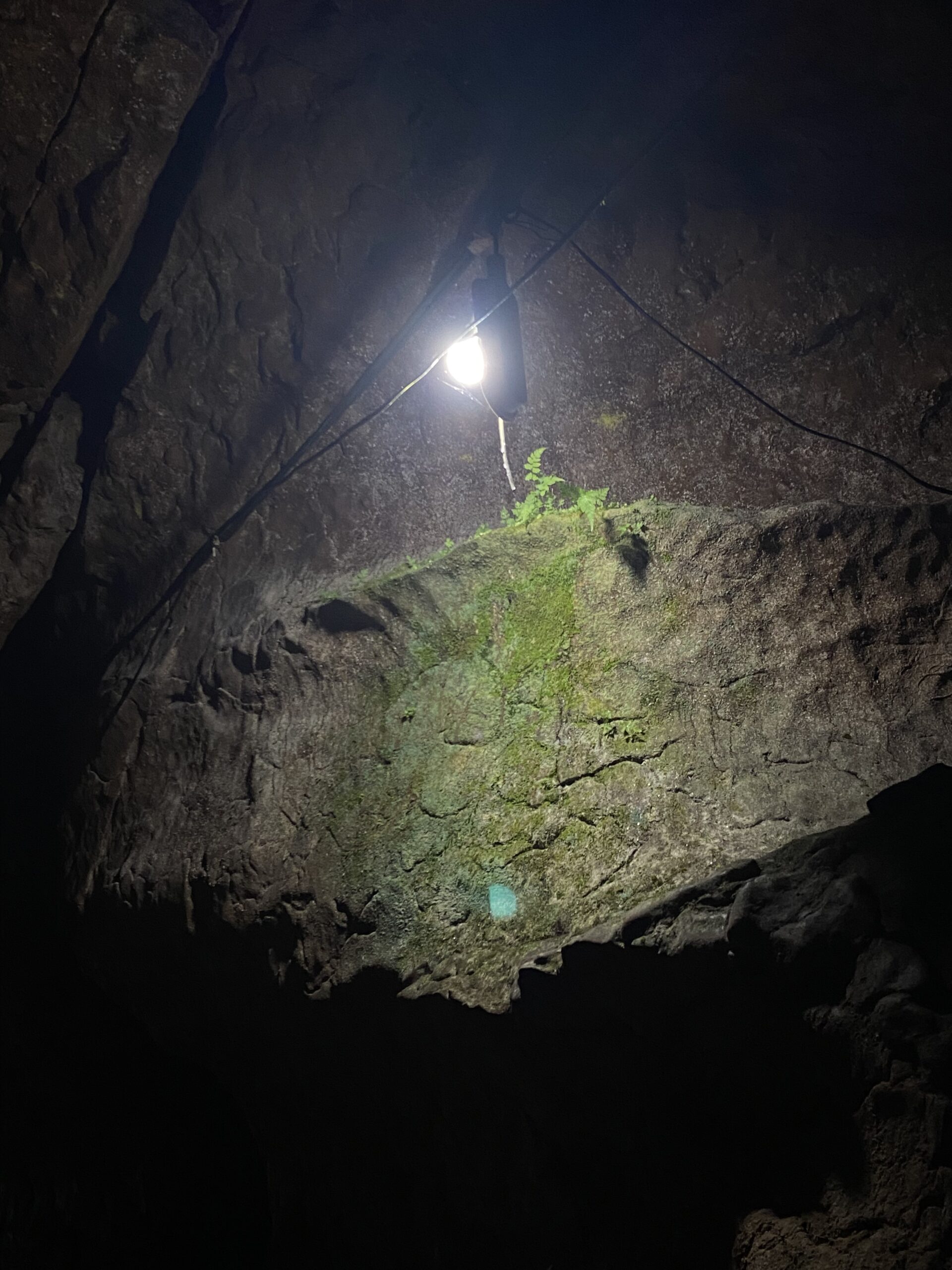
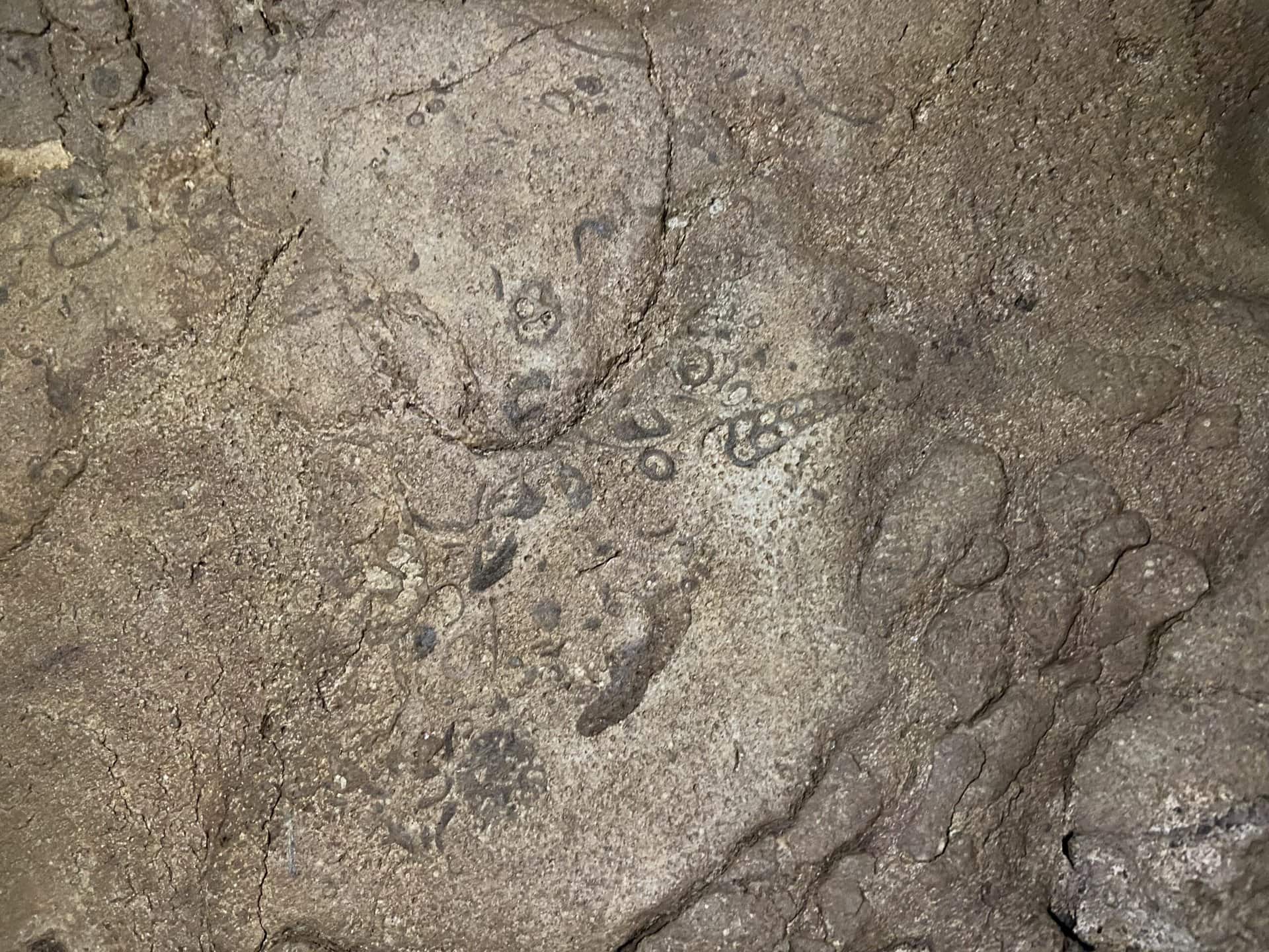
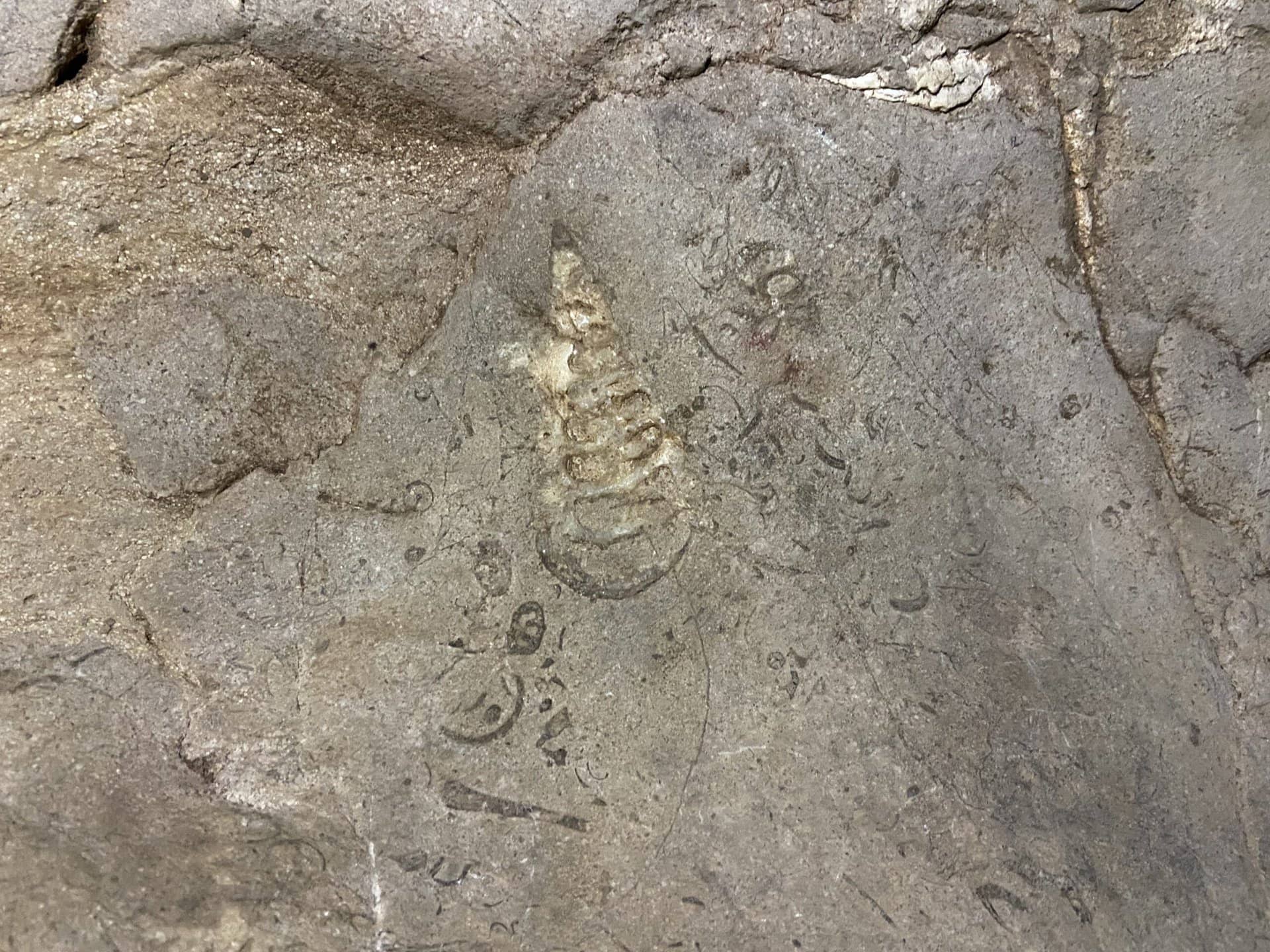
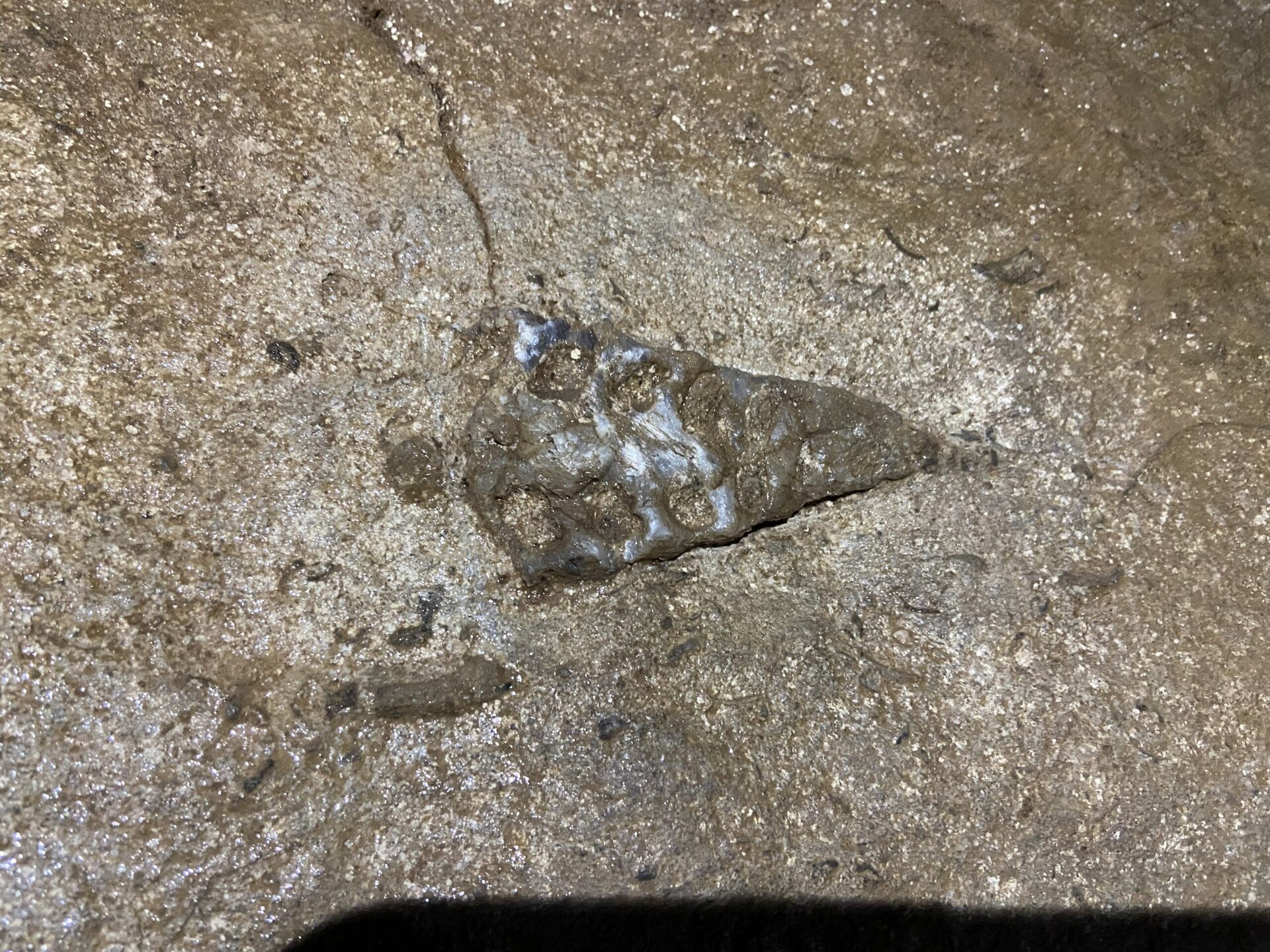
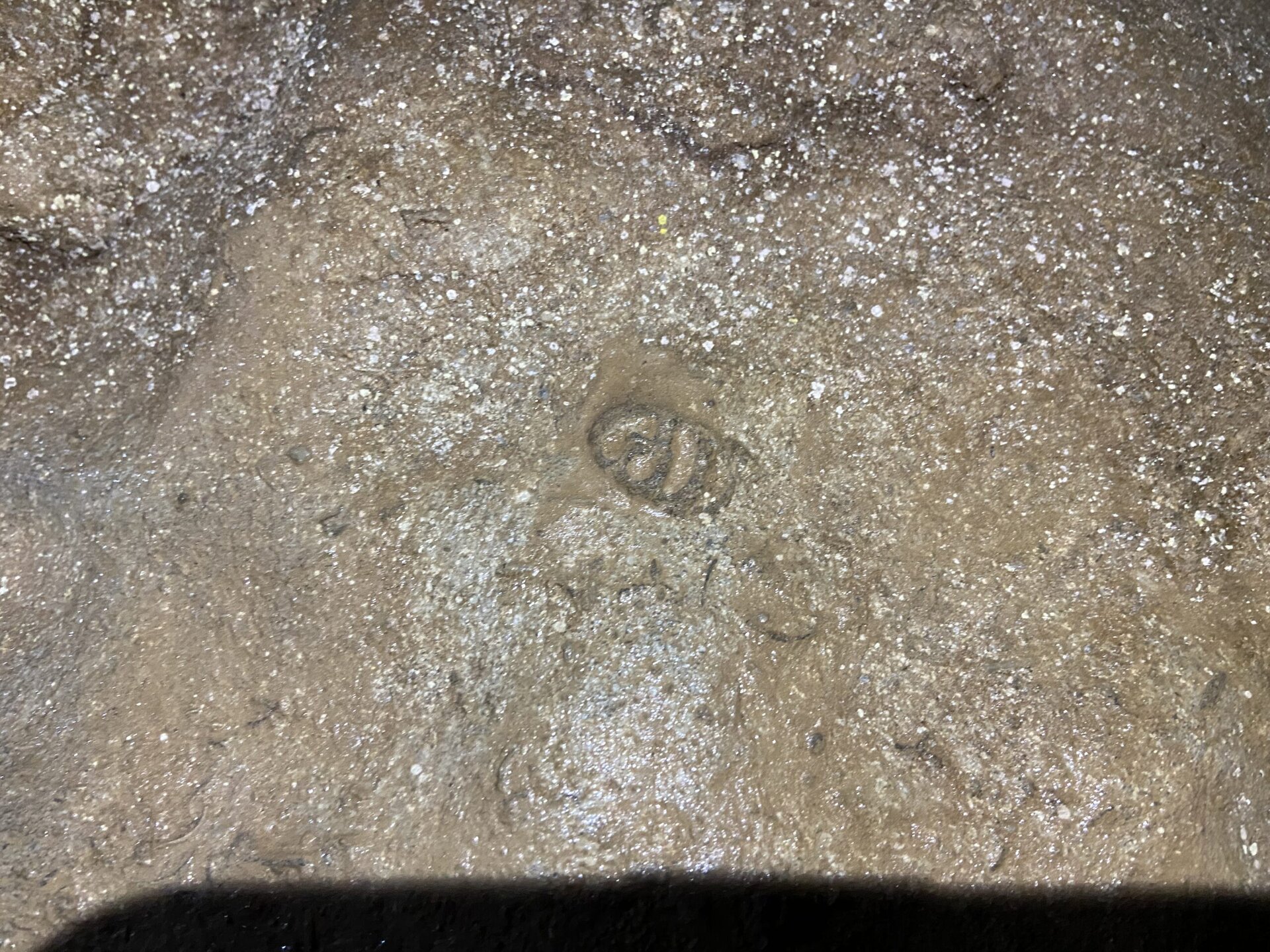
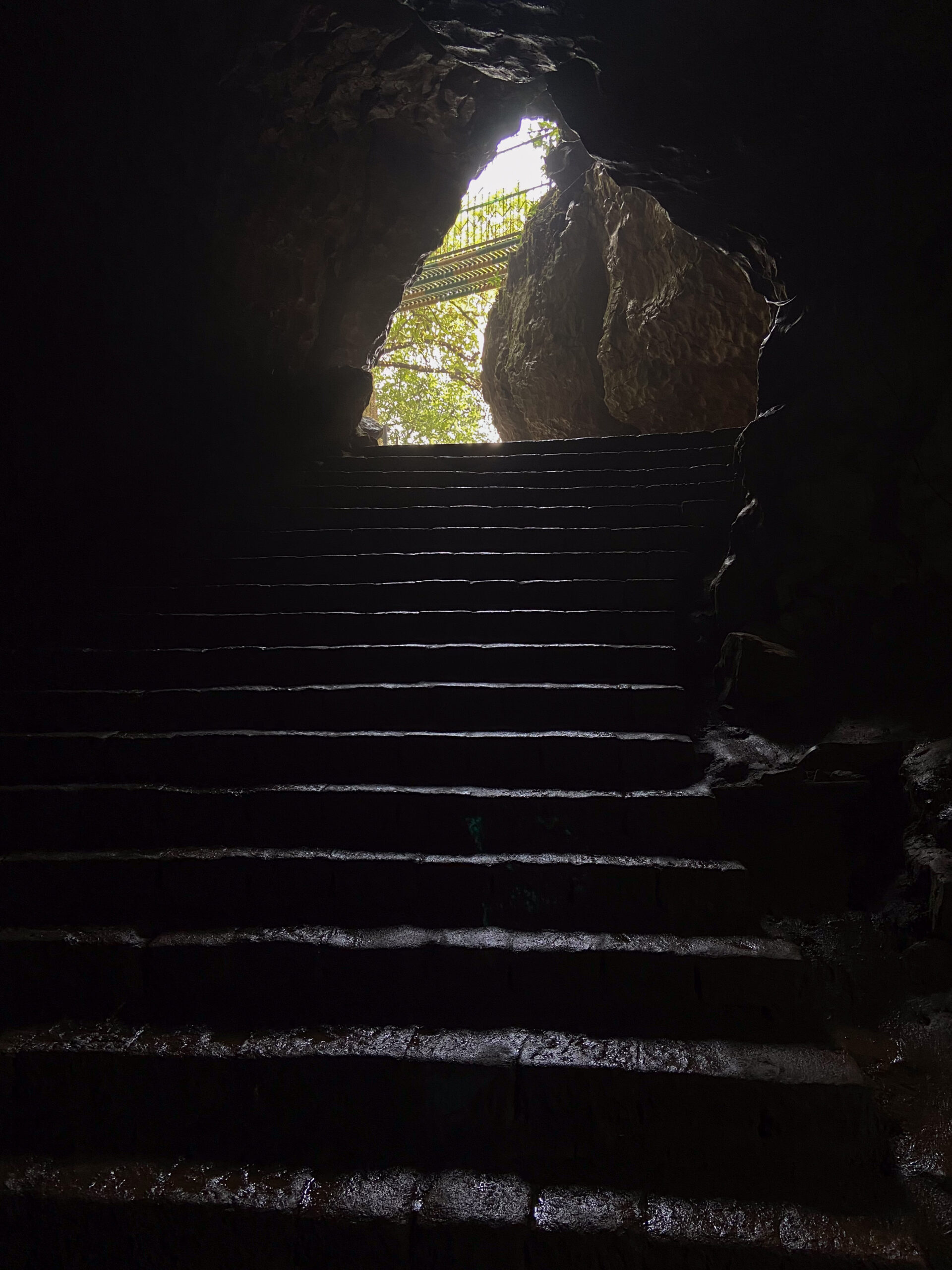
Arwah Cave
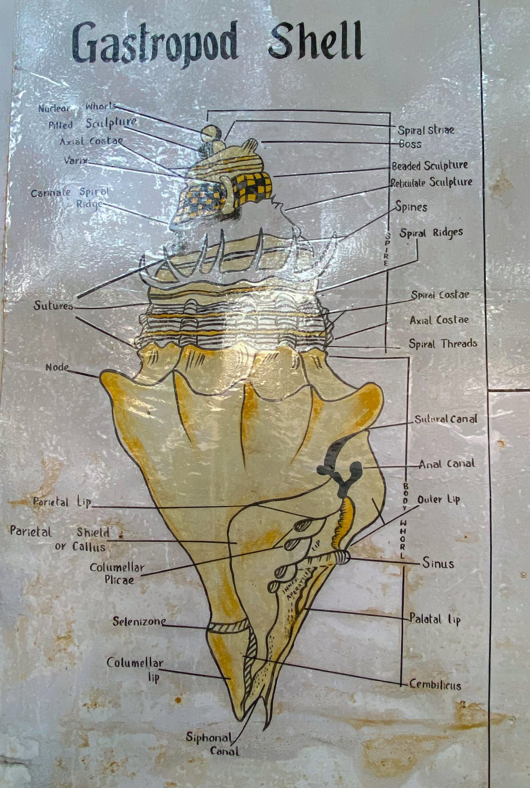
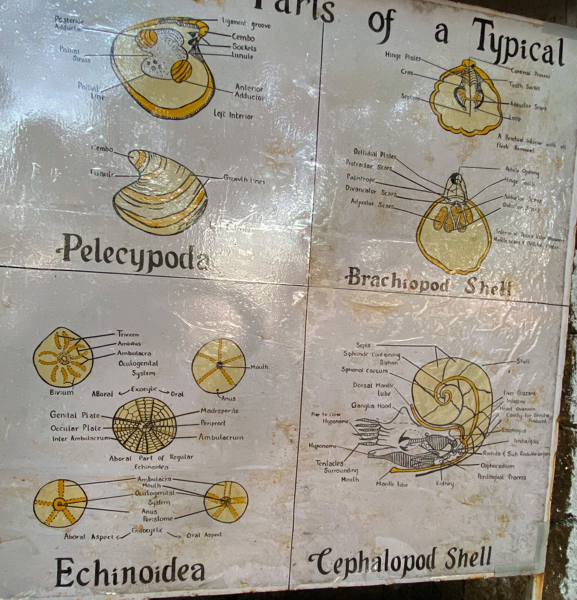
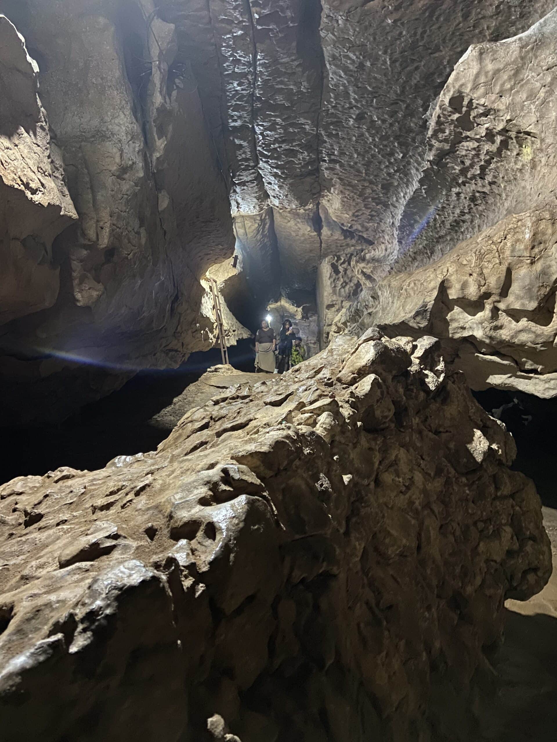
The Arwah Cave, also known as Arwah Lumshynna Cave, is a natural limestone cave located about 3.5 kilometers from Cherrapunji town. This cave is composed of limestone formations and fossils dating back millions of years. There is a pathway that is about a kilometer long that leads to the cave. On one side of this pathway, we enjoyed the beautiful scenery of the valley. At the entrance to the cave, there are boards that show the details of the fossils, which are some 6.5 crore years old. Inside the caves, my daughters and I spent more than 30 minutes searching for fossils on the rocks with our torch lights. This was a fun activity, and we found several fossils too. We even showed these to other curious tourists. Below are a few pictures from the Arwah caves.

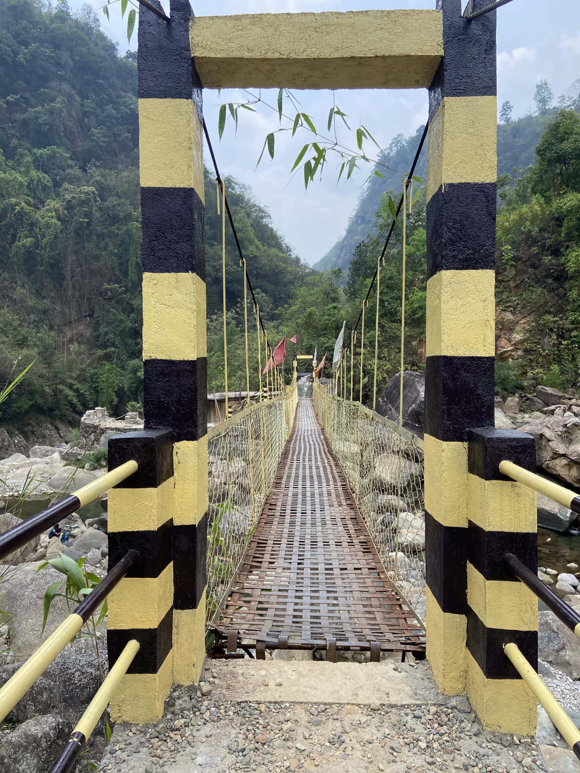
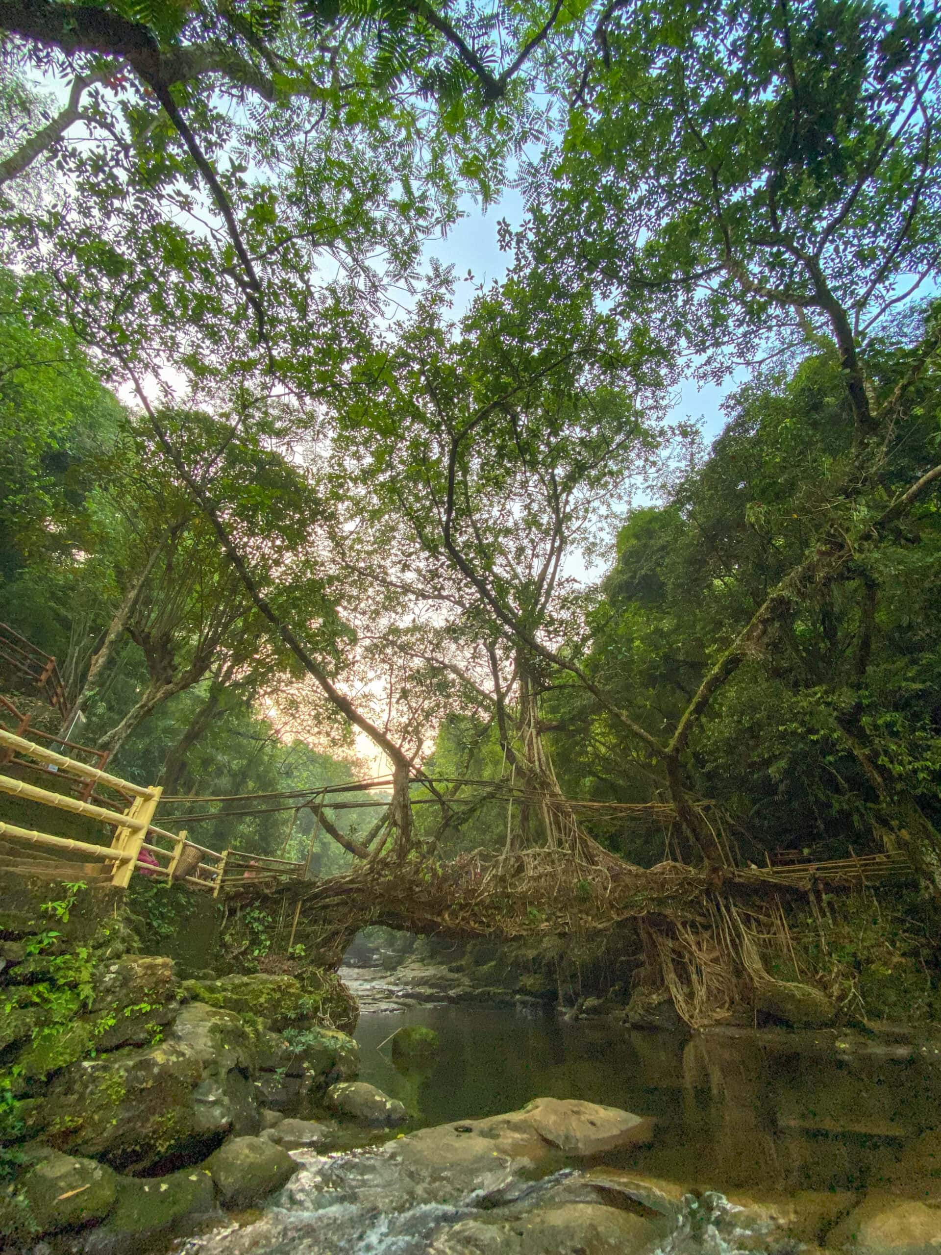
Nohwet Living Root Bridge
After the caves, we started our drive to Nohwet. The key attraction in Nohwet is the Living Root Bridge.
A living root bridge is an example of bringing together bioengineering and architecture. This is a creation of the local Khasi people. Living root bridges are made by routing the aerial roots of the rubber fig tree over streams and rivers using bamboo scaffolding. Over time, the roots intertwine and strengthen, creating a sturdy natural bridge that can last centuries. This traditional technique showcases the ingenuity of the Khasi and Jaintia communities in utilizing living trees to overcome geographical challenges.
The Nohwet living root bridge is believed to be 185 years old, with the rubber tree planted around 1840. The bridge spans approximately 30 meters across the Thylong river. Unlike some other living root bridges that require strenuous treks (the double-decker bridge in Cherrapunji requires a trek through 3000 steps), the Nohwet bridge is easily accessible. Because of this, this place is more crowded.
We reached Nohwet at about 5:45 PM. We were told that the visiting hours to the living root bridge were 7:00 to 6:00. So, we quickly parked our car and hurried to take a look at the living root bridge. As it was nearing closing time, many of the visitors were leaving. We spent about half an hour there admiring the construction of the bridge and the beauty of the river. After this, we went to Nohwet village a couple of kilometers away where I had booked a homestay called Nah I Me. This is a cozy little cottage with two bedrooms. I had stayed here a couple of years back and had liked the place. So I came back again this time.
Below are a few pictures of the living root bridge and the river.


Day 16 and 17: Krang Suri Falls and Drive to Guwahati
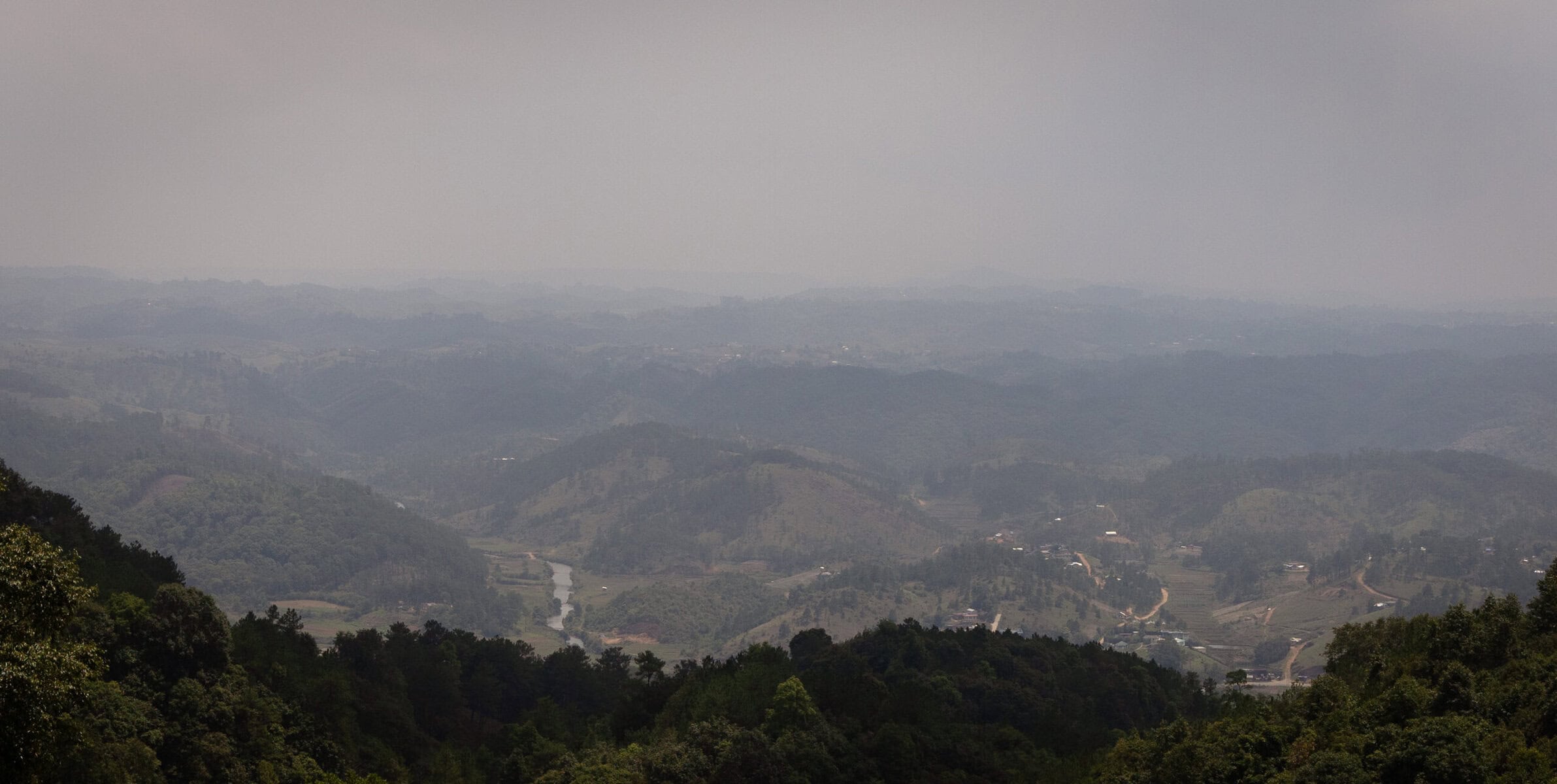
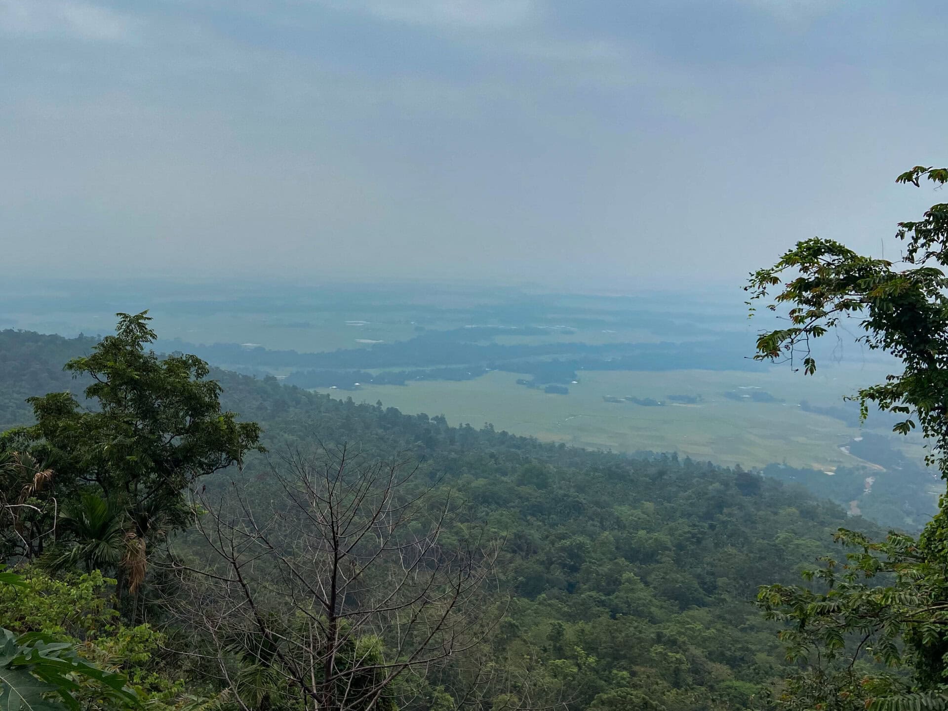
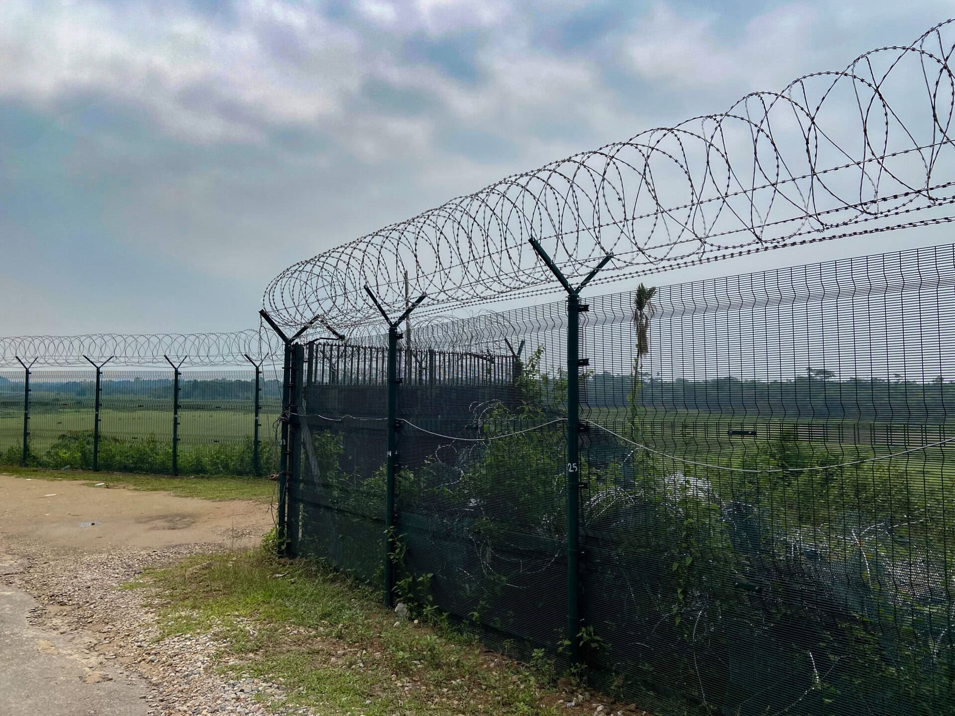
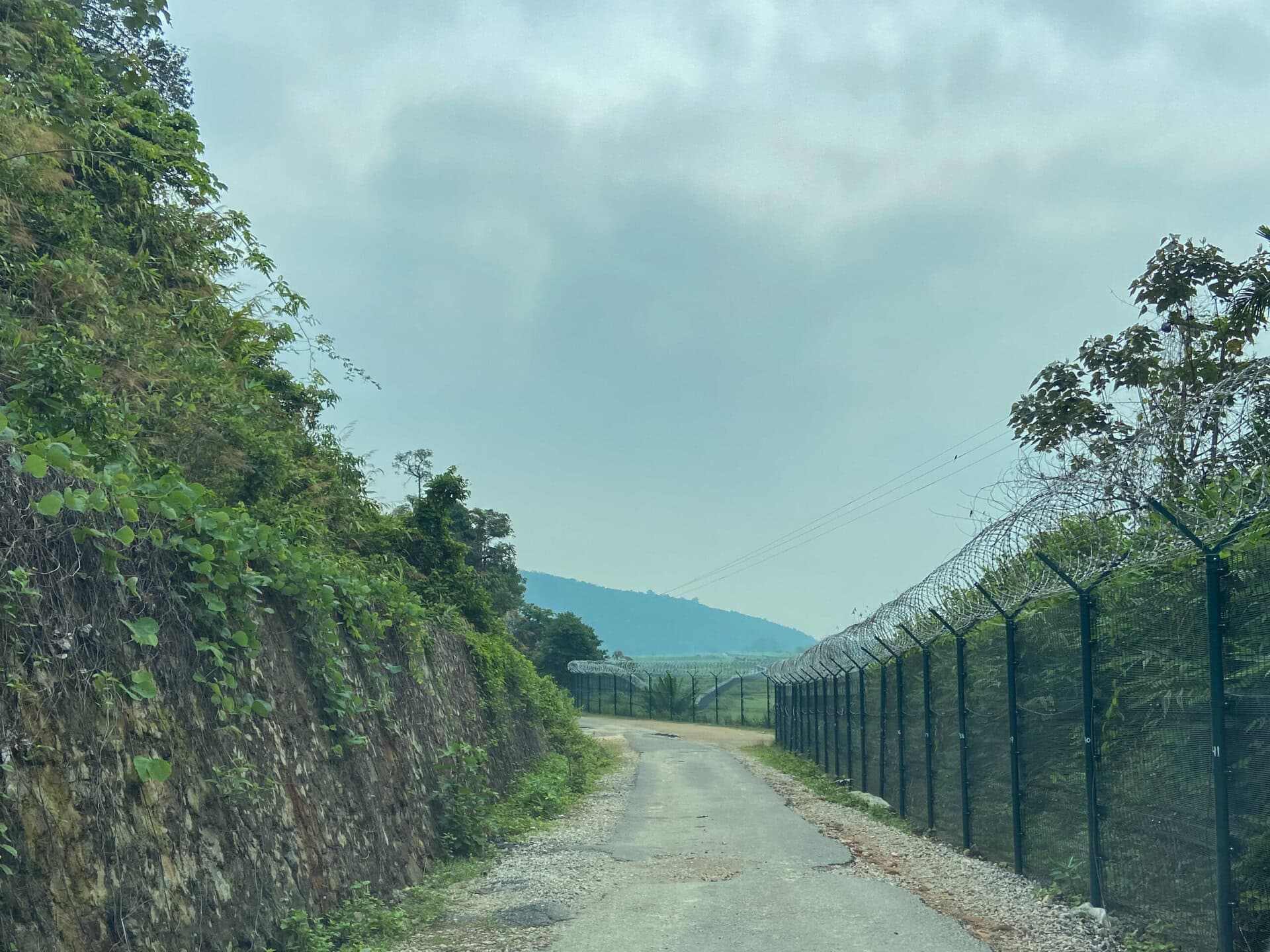
On Day 16, we left Nohwet after breakfast and started our drive to Guwahati. On the way, there was a viewpoint from where we could see the plains of Bangladesh. Also, as we neared Dawki, we drove along the barbed fence that separated India and Bangladesh. We found several soldiers patrolling the border, as well as several watchtowers.
The Dawki River is known for its crystal-clear water, which creates an illusion like boats floating in the air. However, due to recent rains, the water in the river was muddy. So, we skipped boating and carried on. The best time to visit the Dawki River for its crystal clear water would be the winter months from December to February.
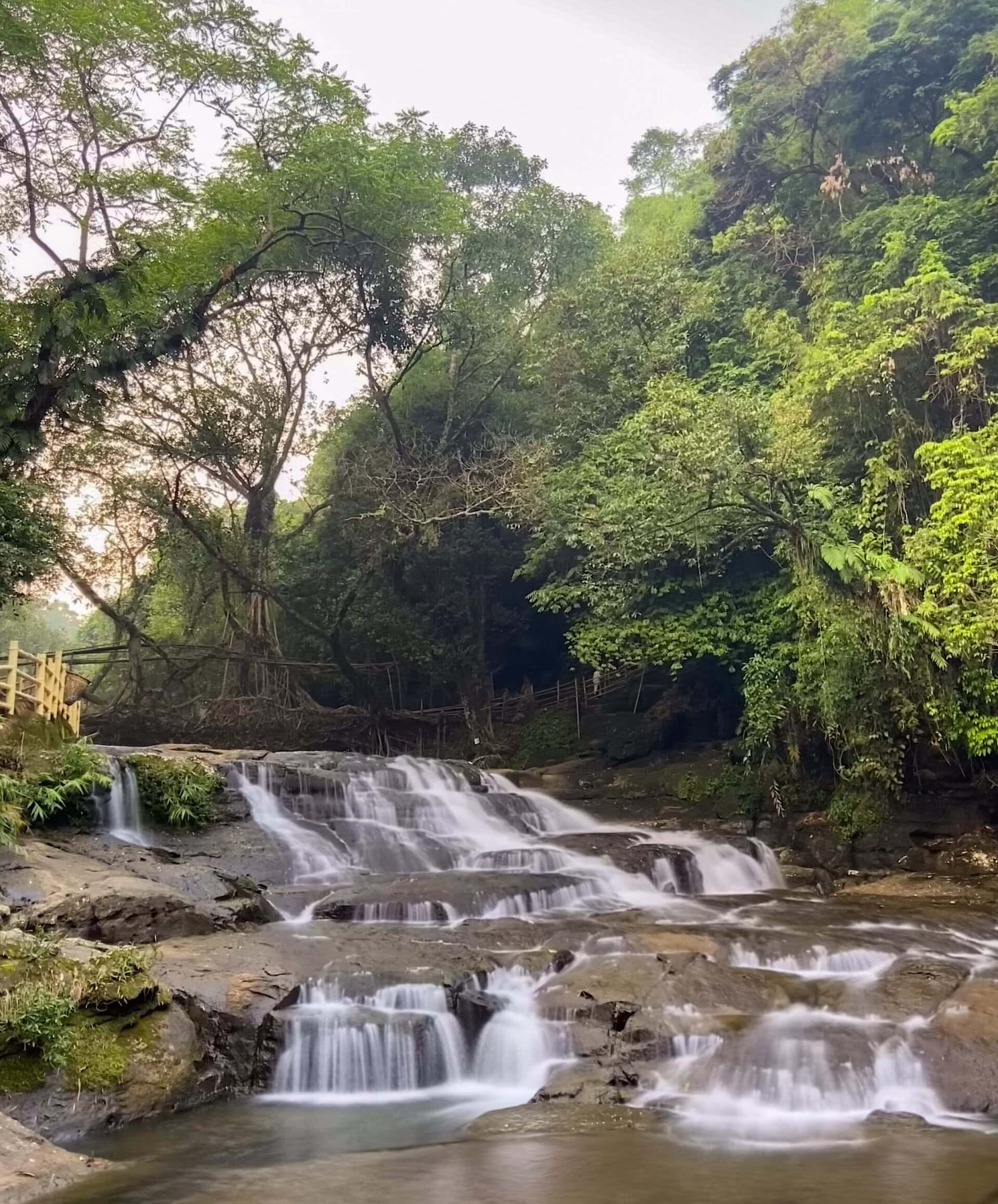
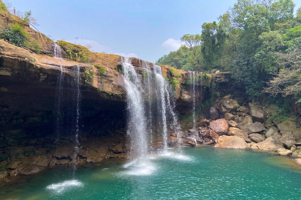
It took a couple of hours to reach Krang Suri waterfalls. We were among the first tourists to arrive. After parking the car, we had to walk about a kilometer and descend a few hundred feet to reach the falls. The falls was simply beautiful. There was a pool at the base of the waterfalls. People who want to take a swim in the pool have to rent life jackets. We rented the life jackets and got into the pool. We swam to the base of the waterfalls and stood under the falls. It was a thrilling experience to have the forceful torrent of water beating down on the head. We spent more than an hour in the pool. I took only one picture of the waterfalls before getting into the pool, and I was lucky to get a picture before people got in.
We had lunch in a small hotel in the parking lot and started our drive back to Guwahati. It was an uneventful drive. We checked into the hotel by 6:00 PM, had dinner, and called it a day.
We spent the next day relaxing in the hotel. I thought of doing a Rhino safari in Pobitora, but my family wanted to just relax and rest the whole day.
The next day, we checked out early by 5:30, and I drove my family to the airport. I then started my solo return drive back to Coimbaore.
Day 18 to 25: Guwahati to Coimbatore with a 2-day stop in Kolkata
This was the last leg of the road trip, and most of the days were just driving from morning to evening and resting at night. As this was the last leg, and as I was driving solo, I kept the distance between 500 and 700 kilometers a day. The drive was uneventful with the usual truck traffic on some sections, fast 6 lane roads on some sections, diversions with congestion in some sections, and so on. The following were the stops I took: Guwahati – Siliguri – Kolkata – Chilika (after Bhubaneshwar) – Guntur – Vellore – Coimbatore.
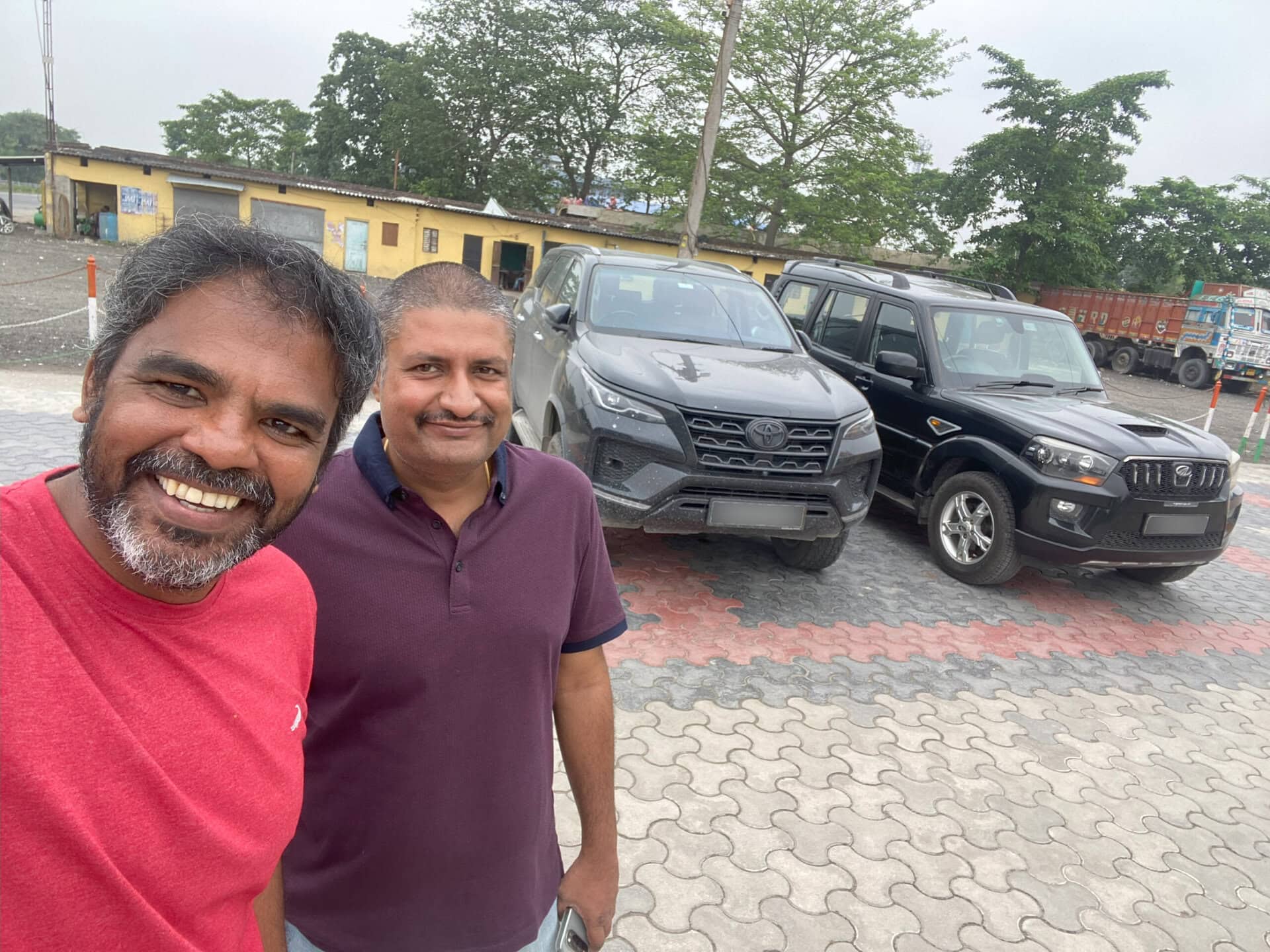
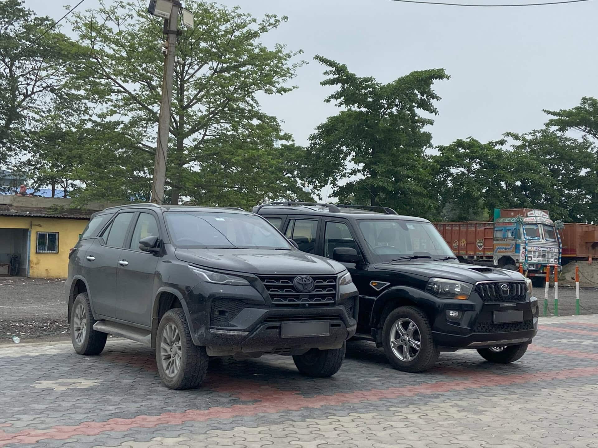
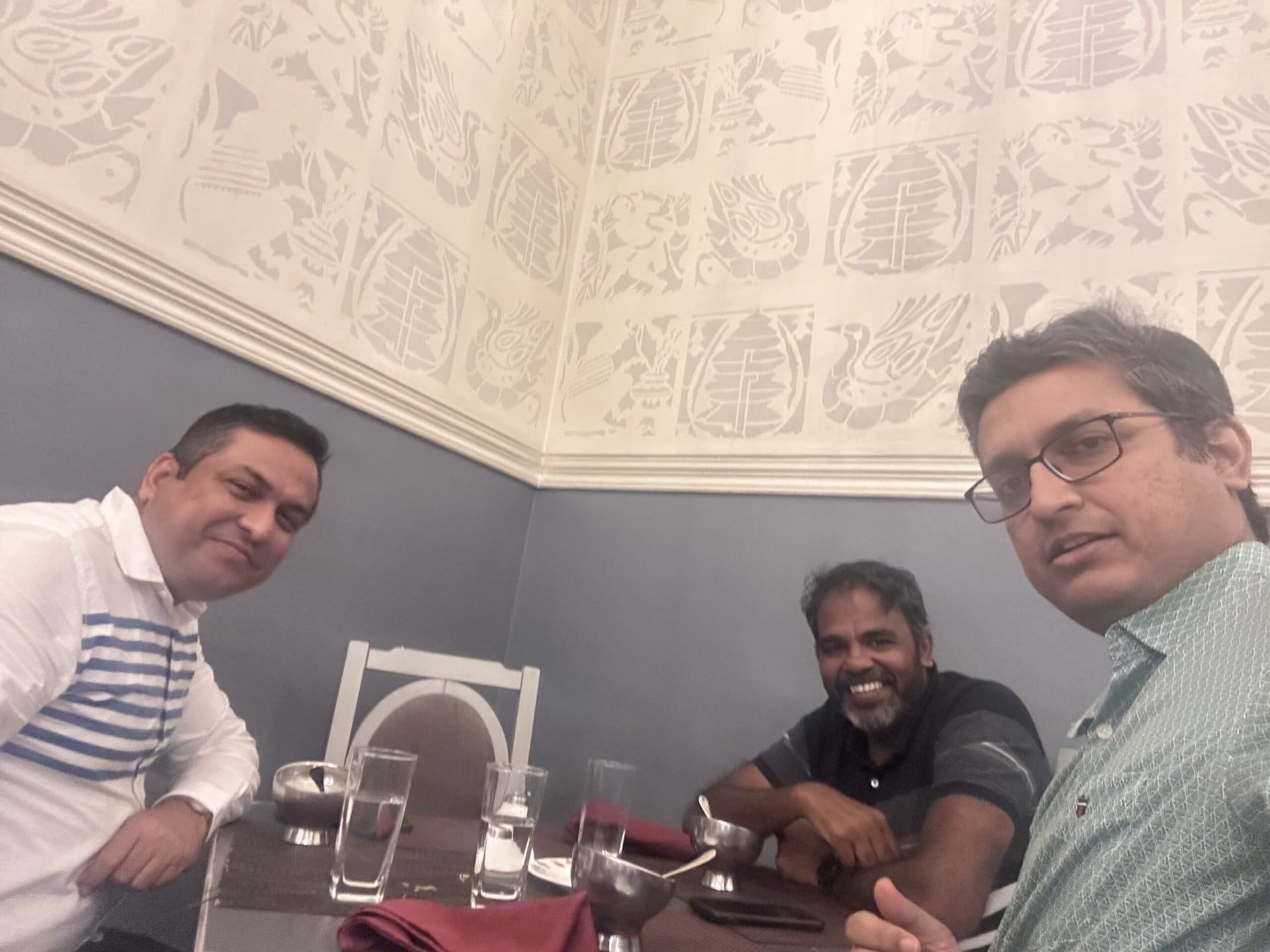
On Day 19, on my drive from Siliguri to Kolkata, I met fellow Team-BHP moderator Sheel. He was very kind to come to Dalkhola from Purnia. We met in a dhaba and had a nice chat for about 45 minutes over tea, discussing a lot about cars and travel. Below are a couple of pictures from this meet.
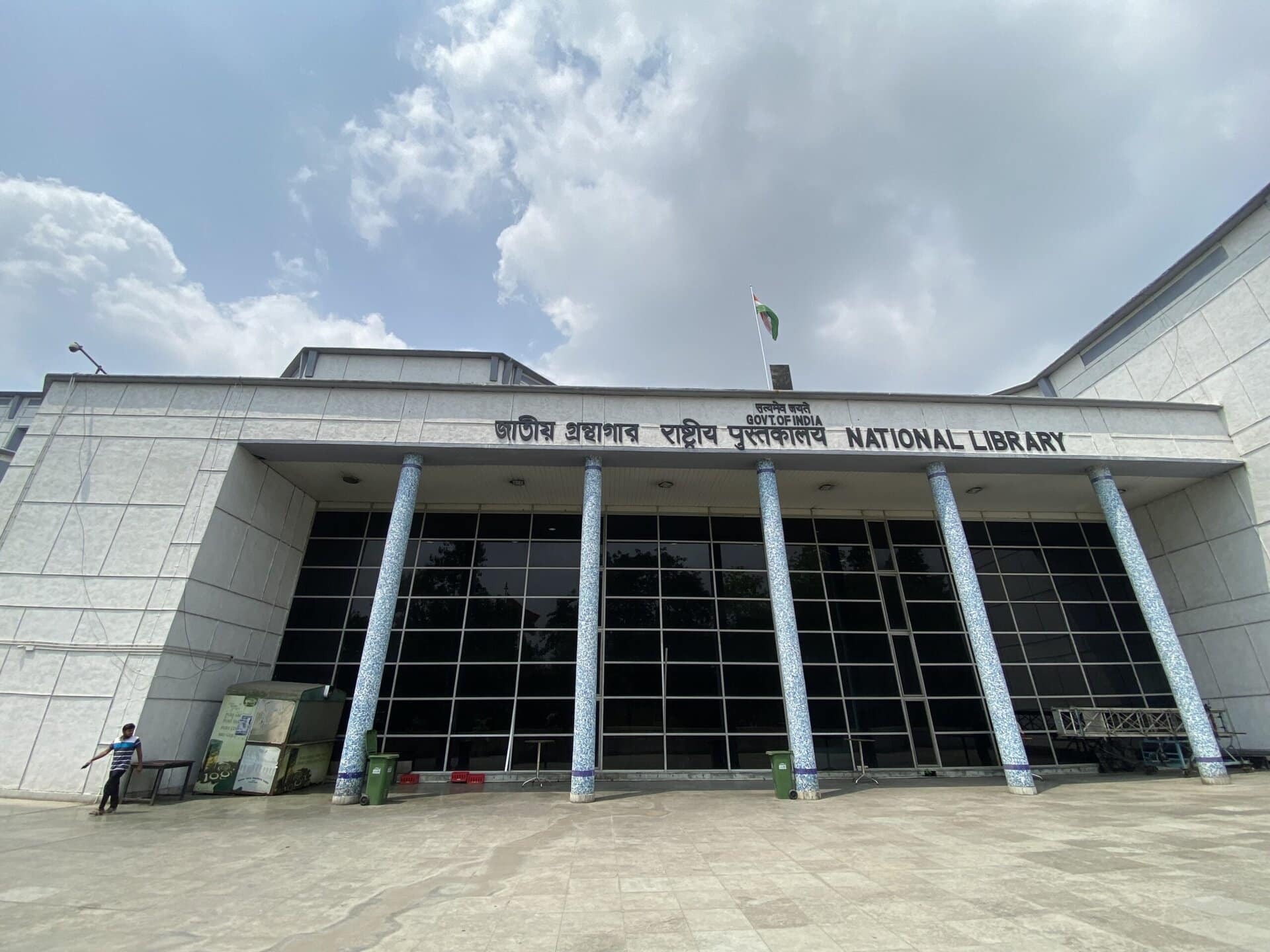
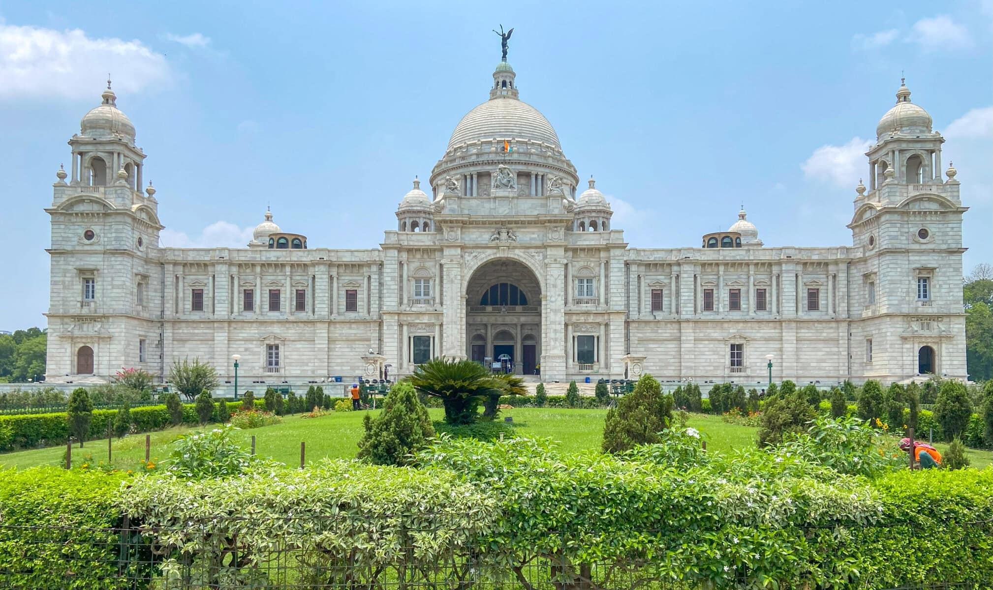
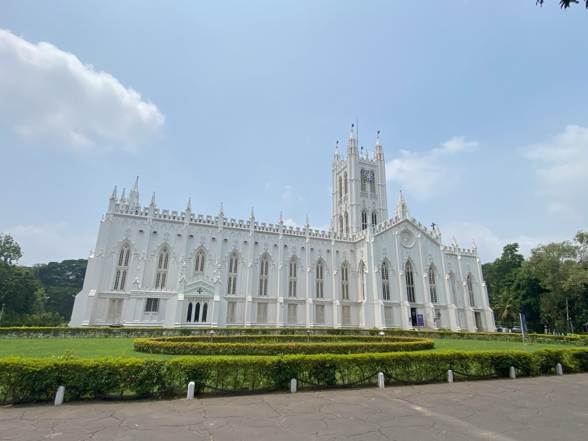
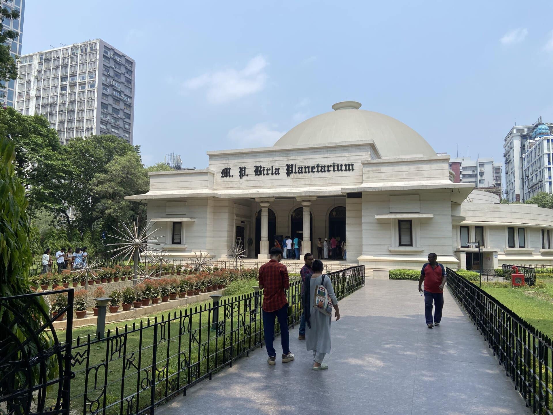
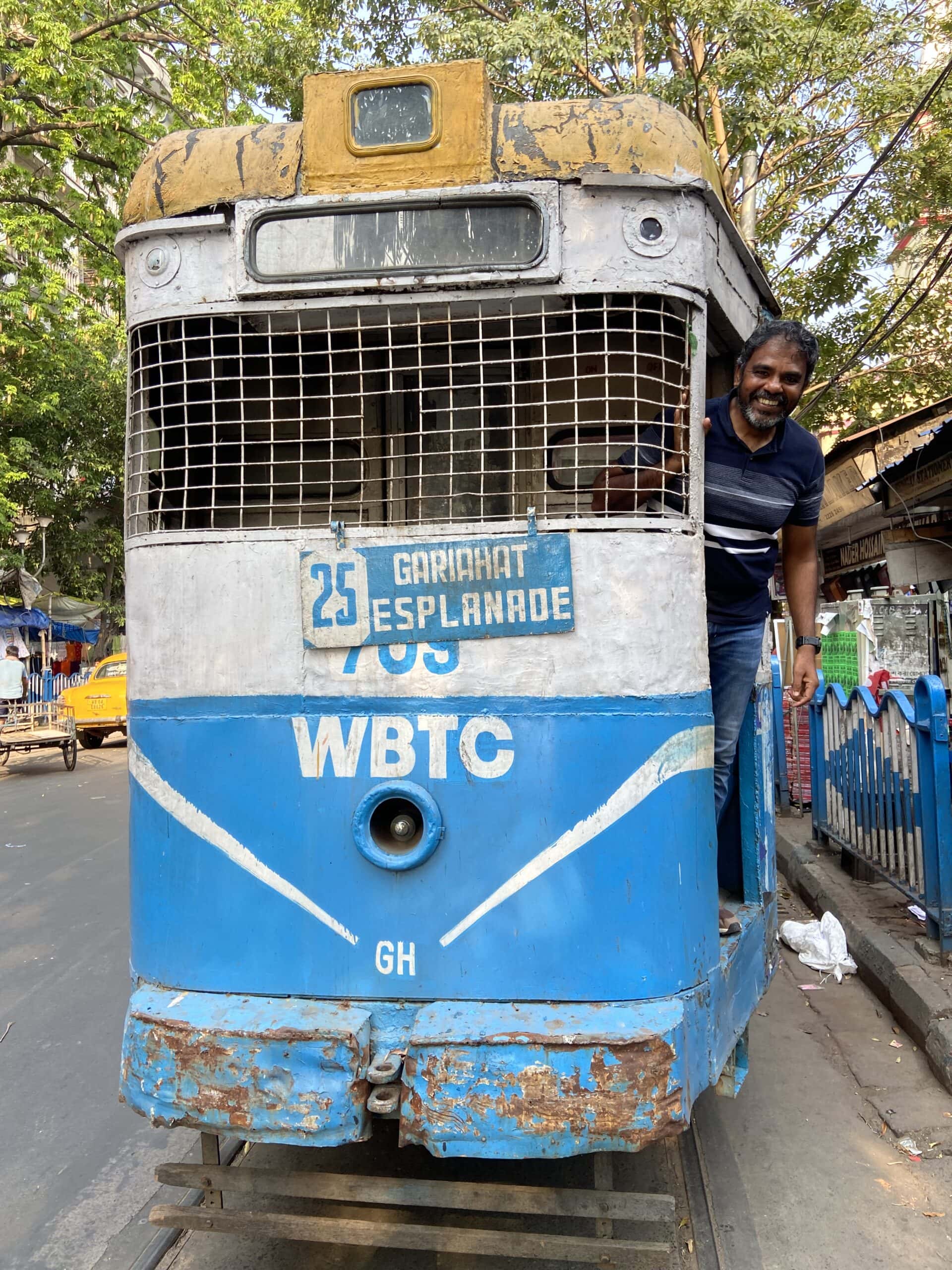
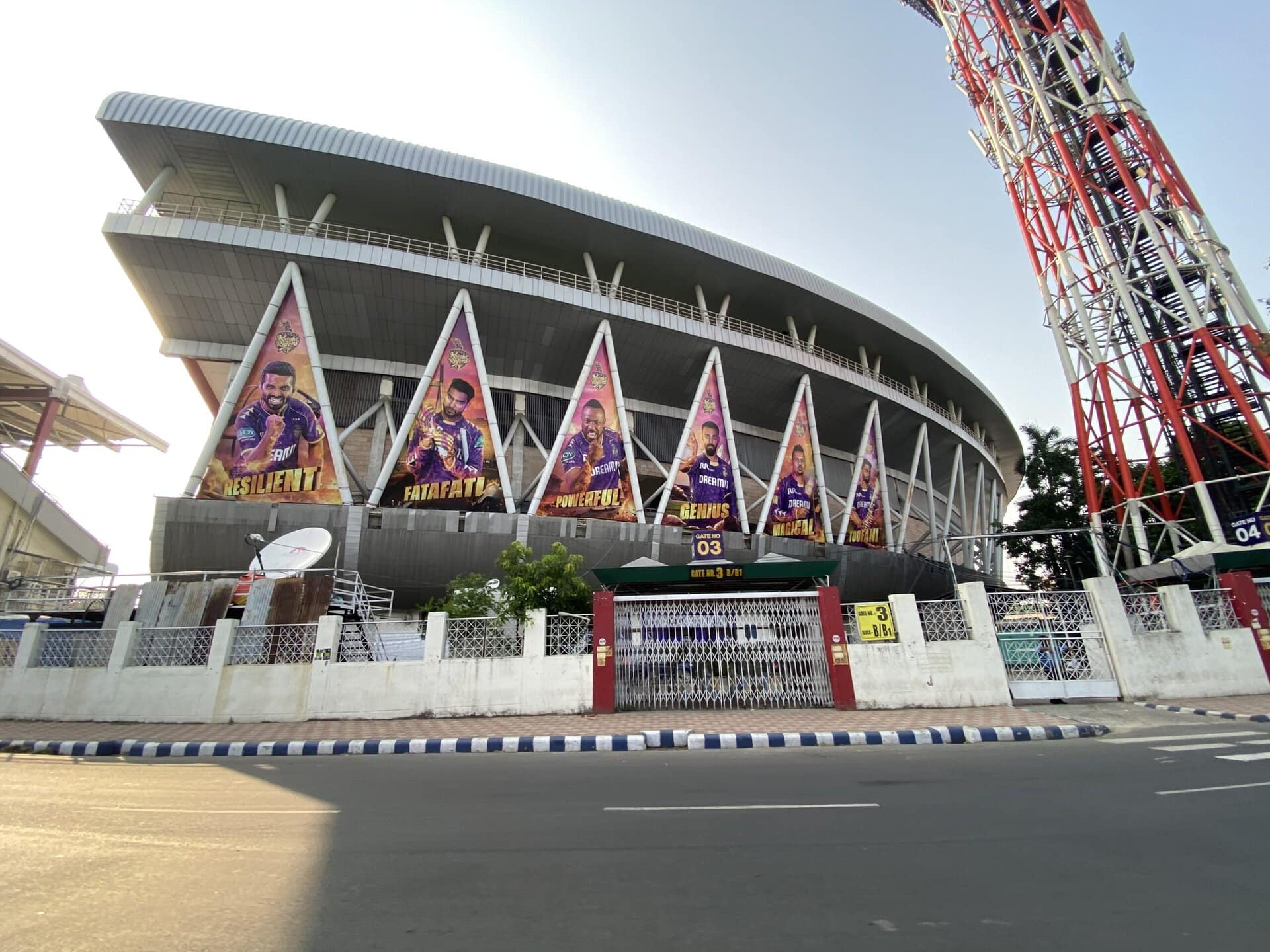
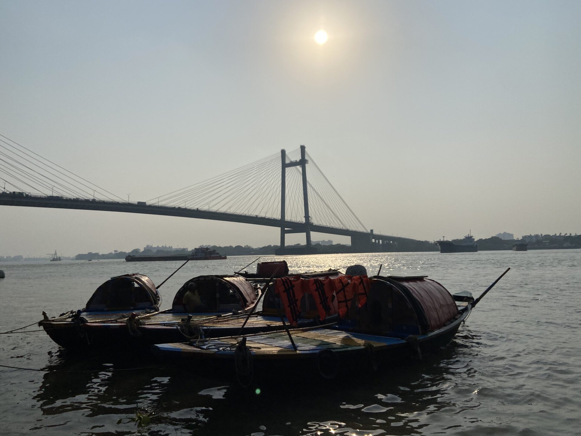
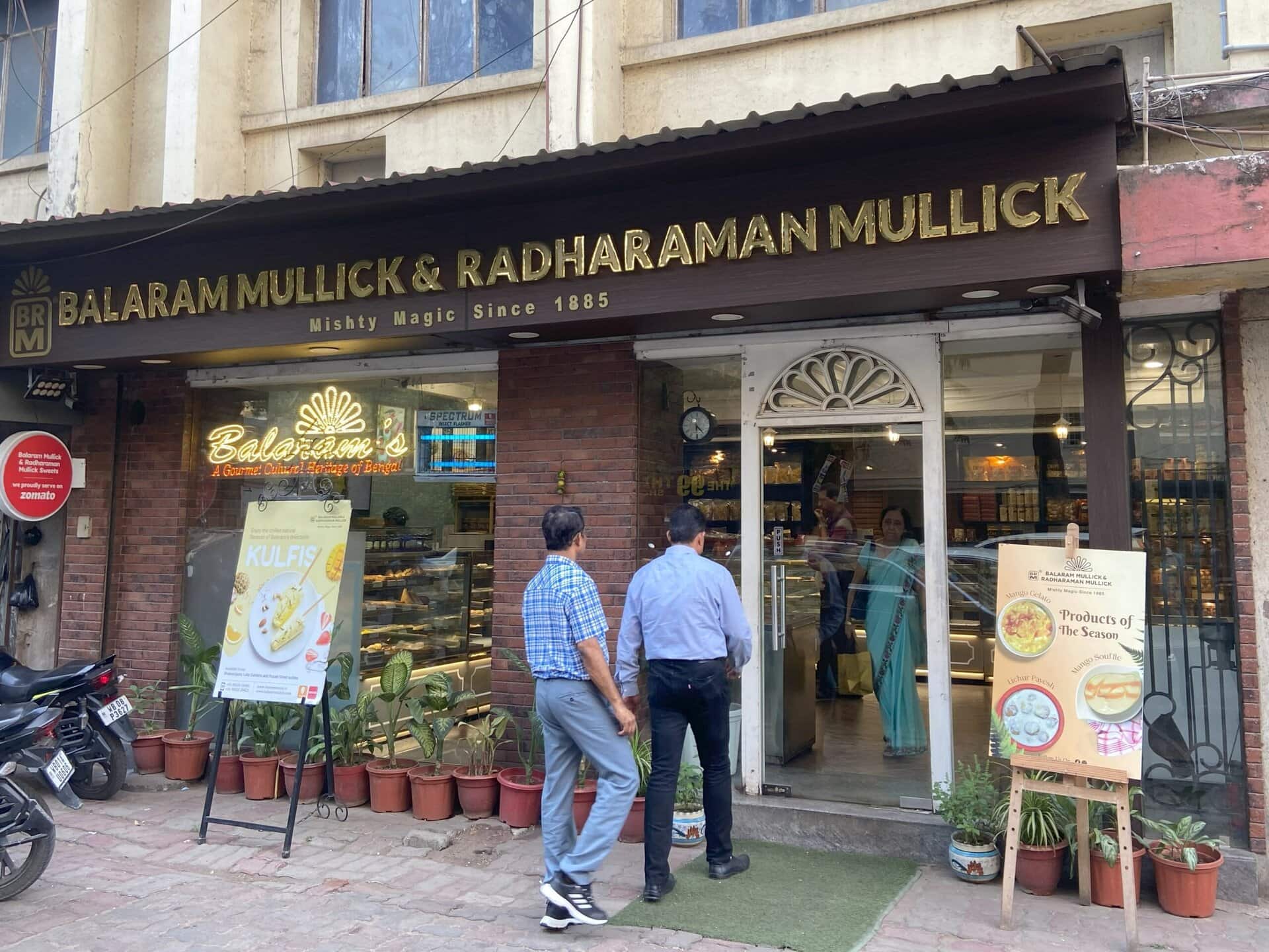
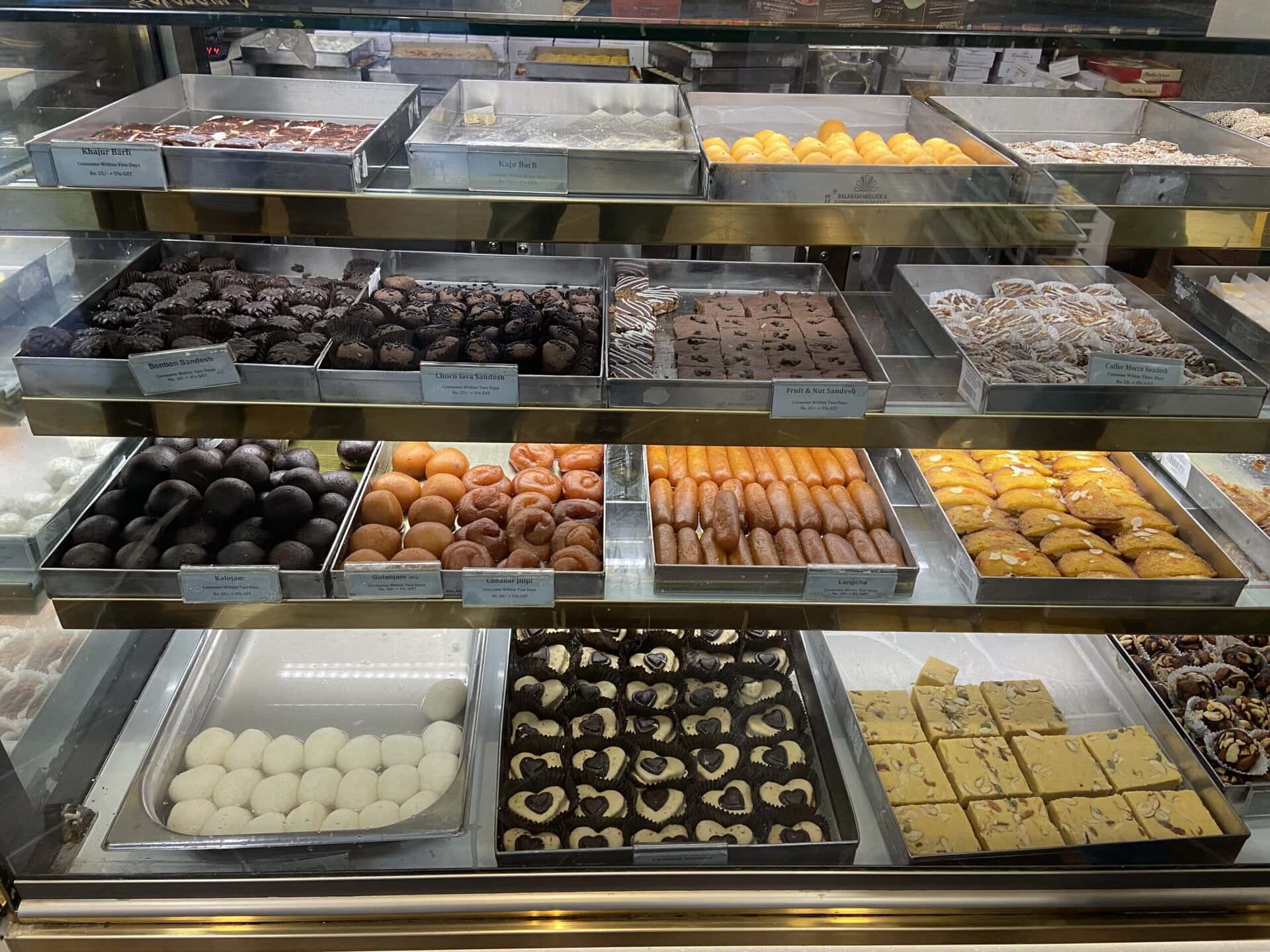
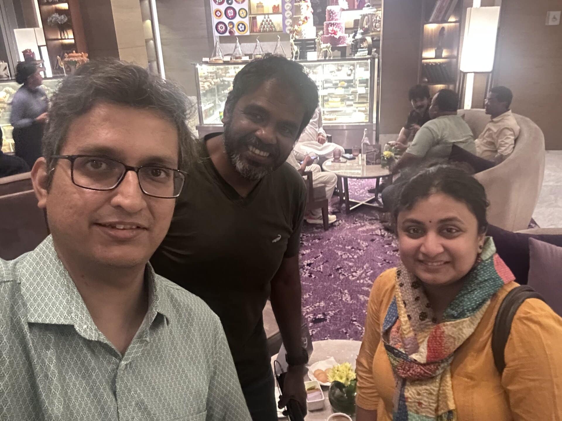
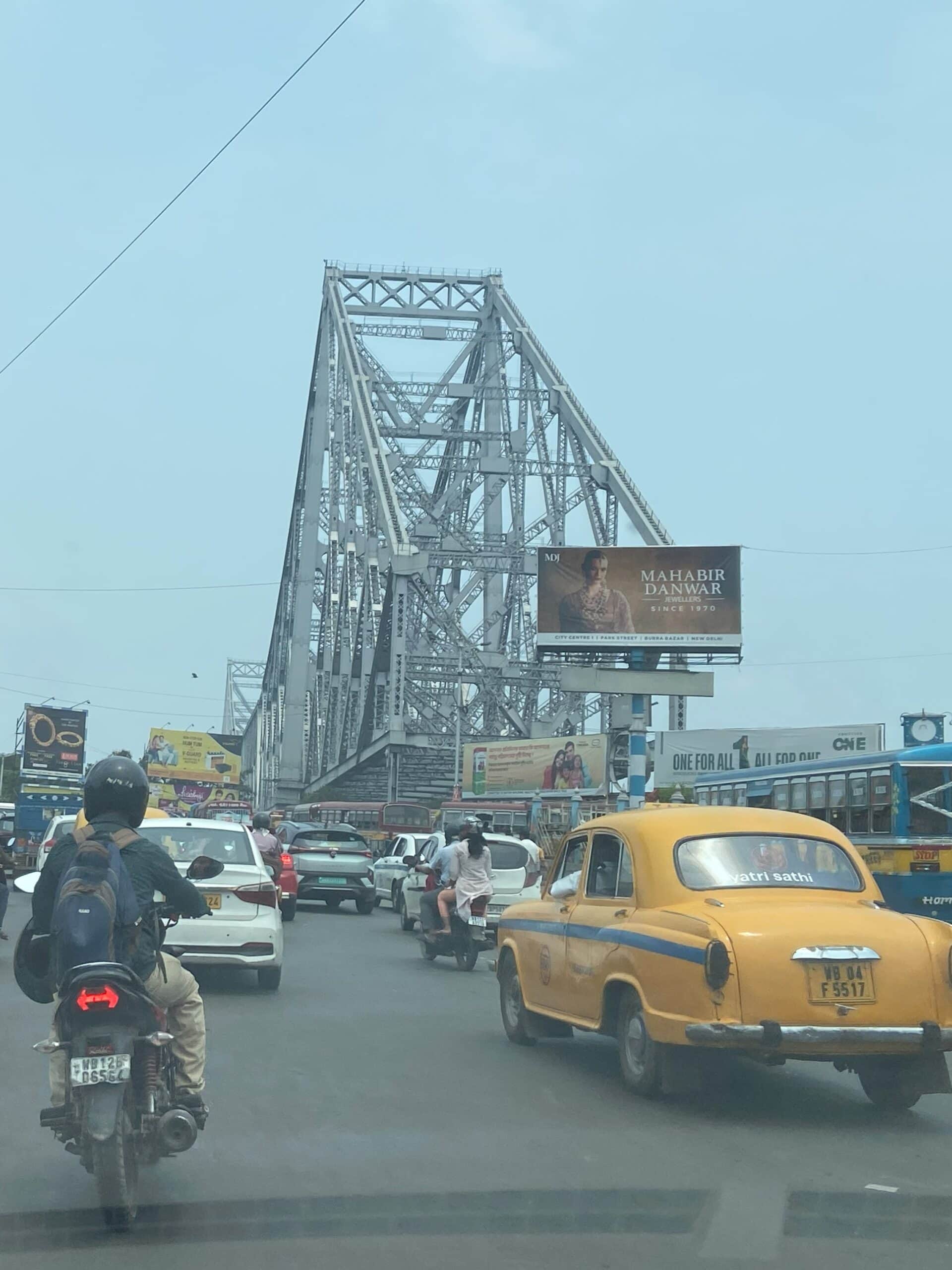
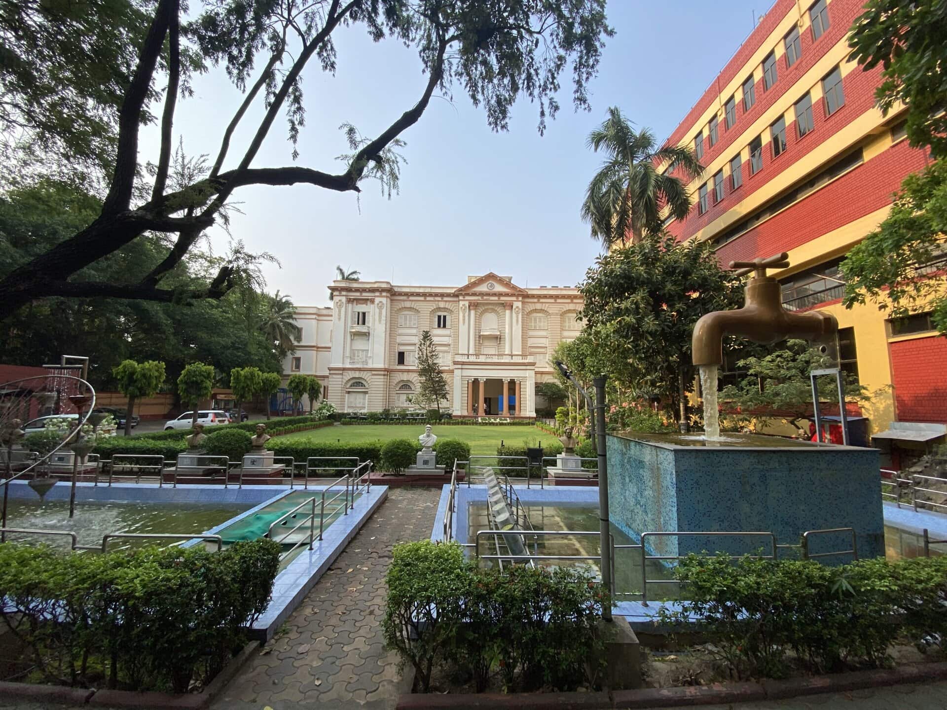
I stayed in Kolkata for a couple of days and did some sightseeing. My family lived in Kolkata for a couple of years when I was five years old. These two days in Kolkata were quite nostalgic for me, and I relived many childhood memories like visiting the Victoria Memorial, the Birla Planetarium, the Kali temple, riding a tram, and enjoying Kolkata food, especially fish and sweets. I also met a few fellow Team-BHP members, Abhi, and Mr. and Mrs. Samba.
I will write a separate blog post and cover these 2 days in detail. Below are a few pictures from these two days in Kolkata.


Finally, after a memorable 25 days of driving and lots of lifelong memories created, I reached home in the afternoon on May 19th, 2025.
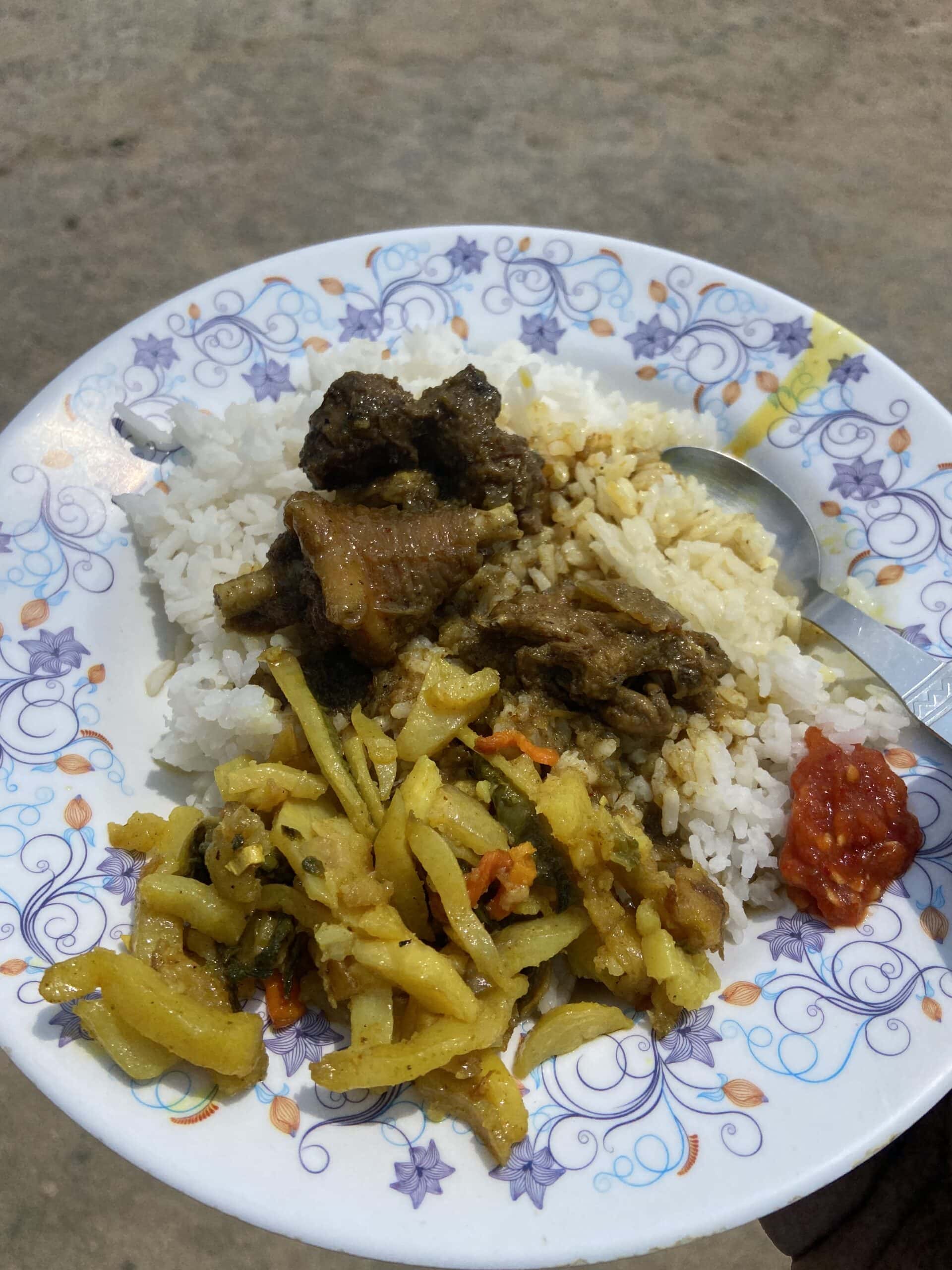
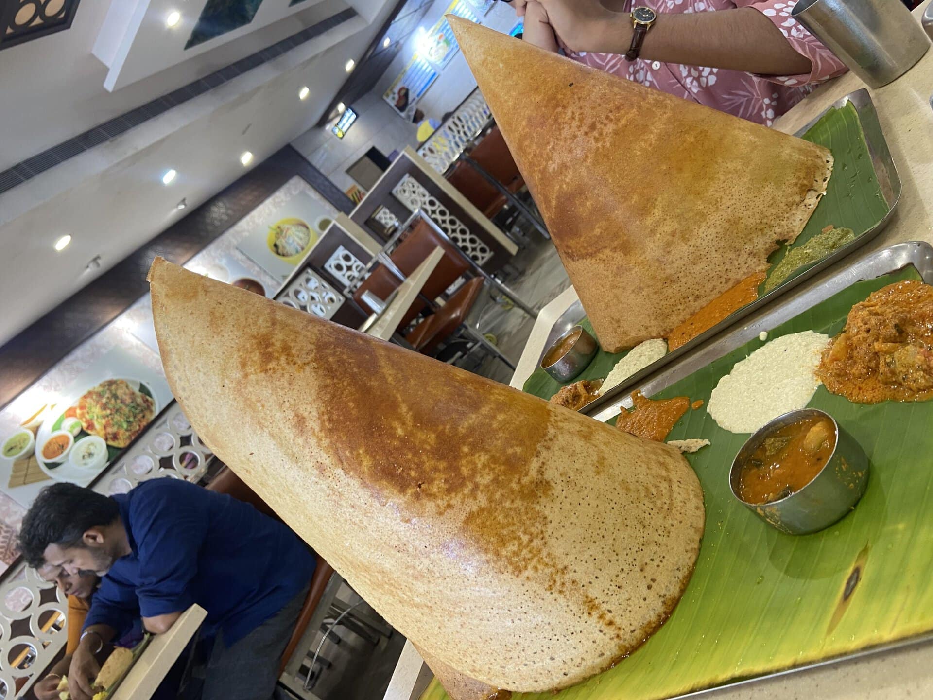
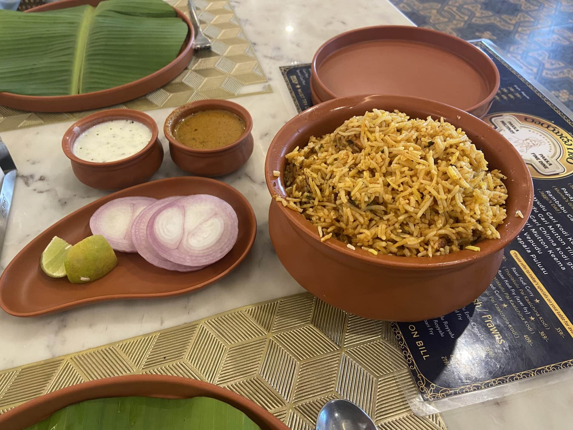
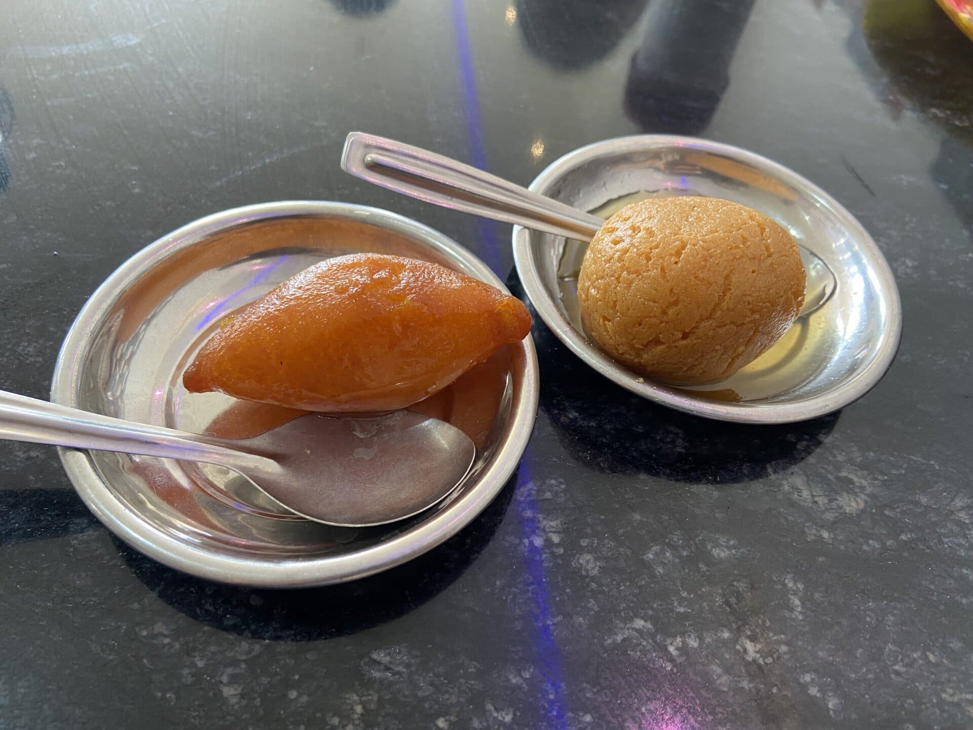
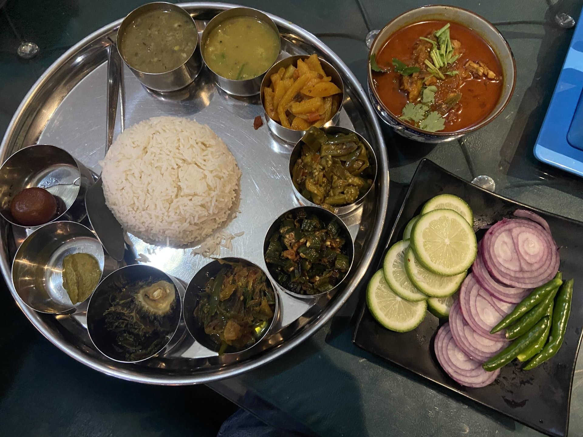
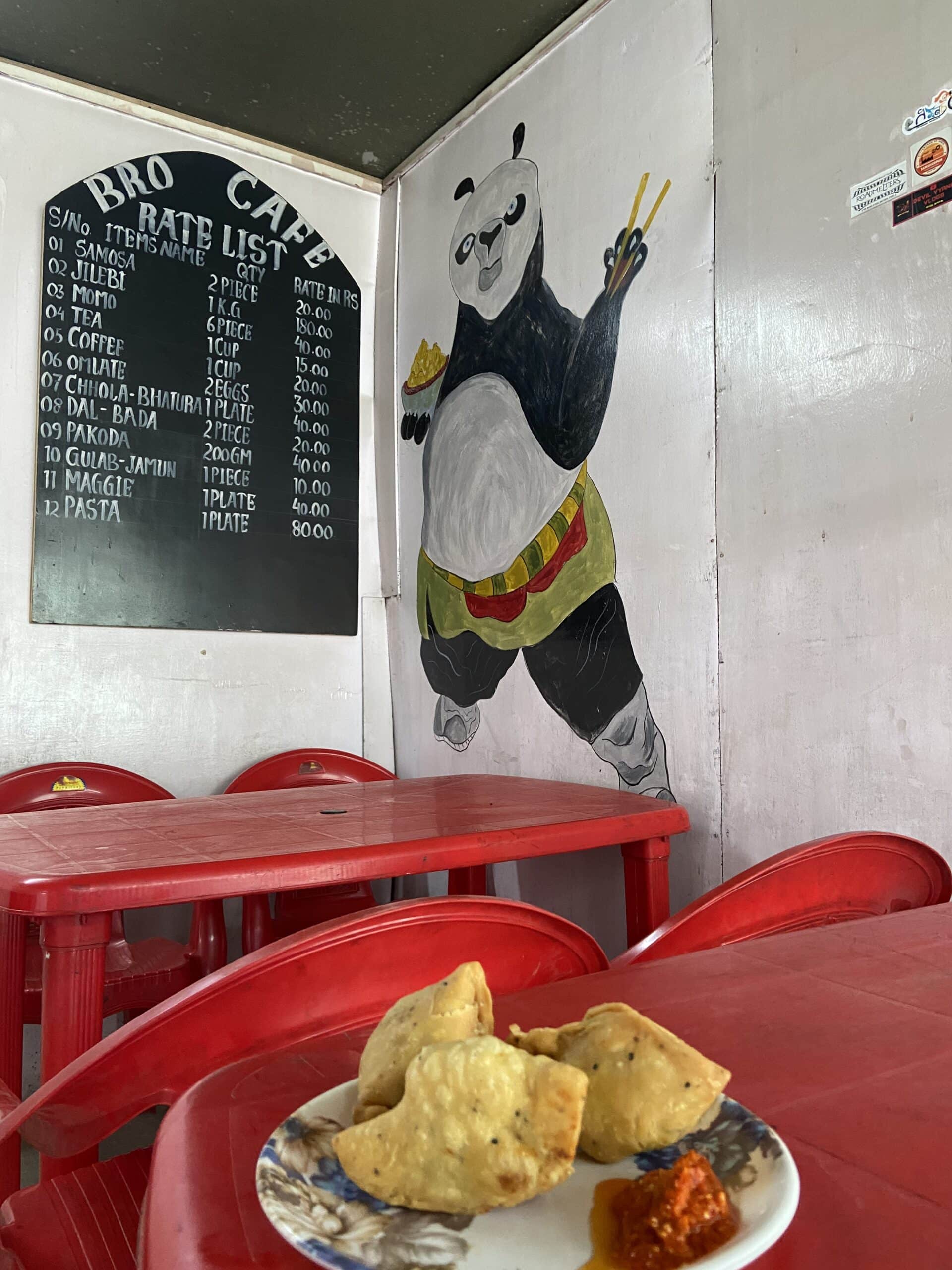
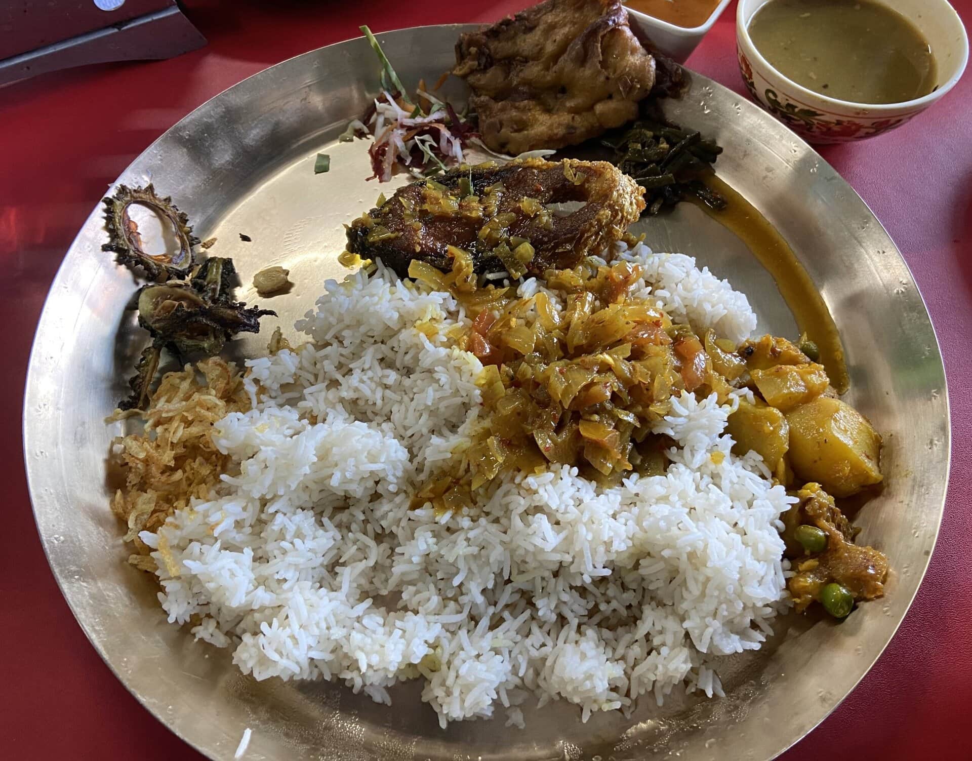
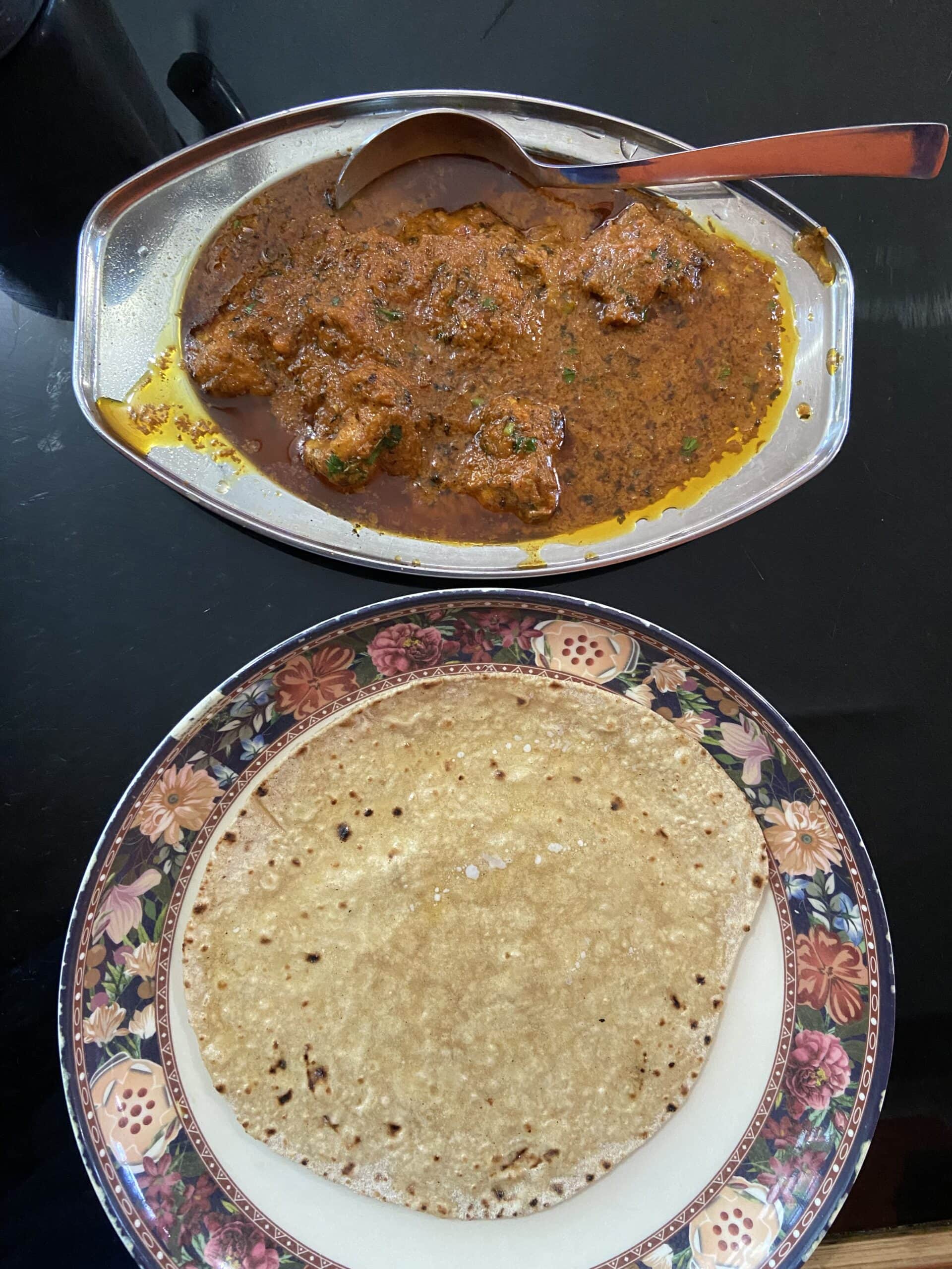
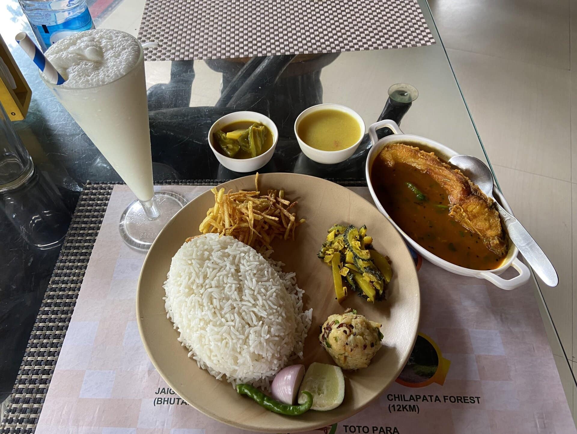
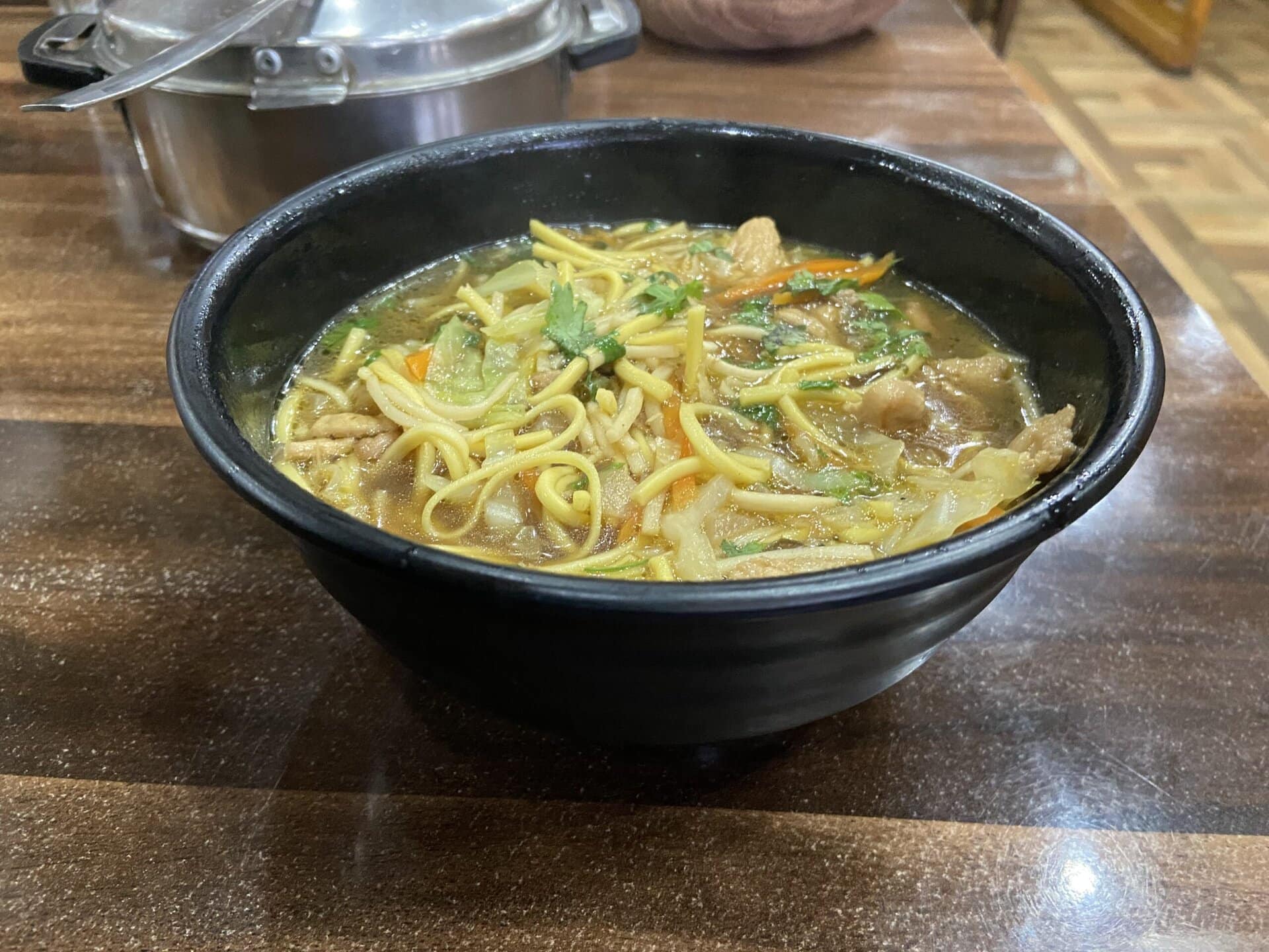
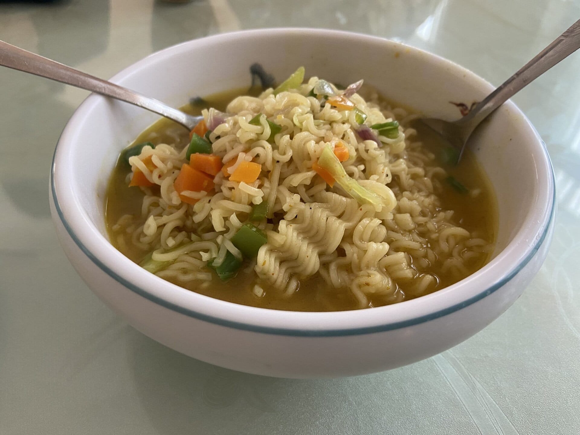
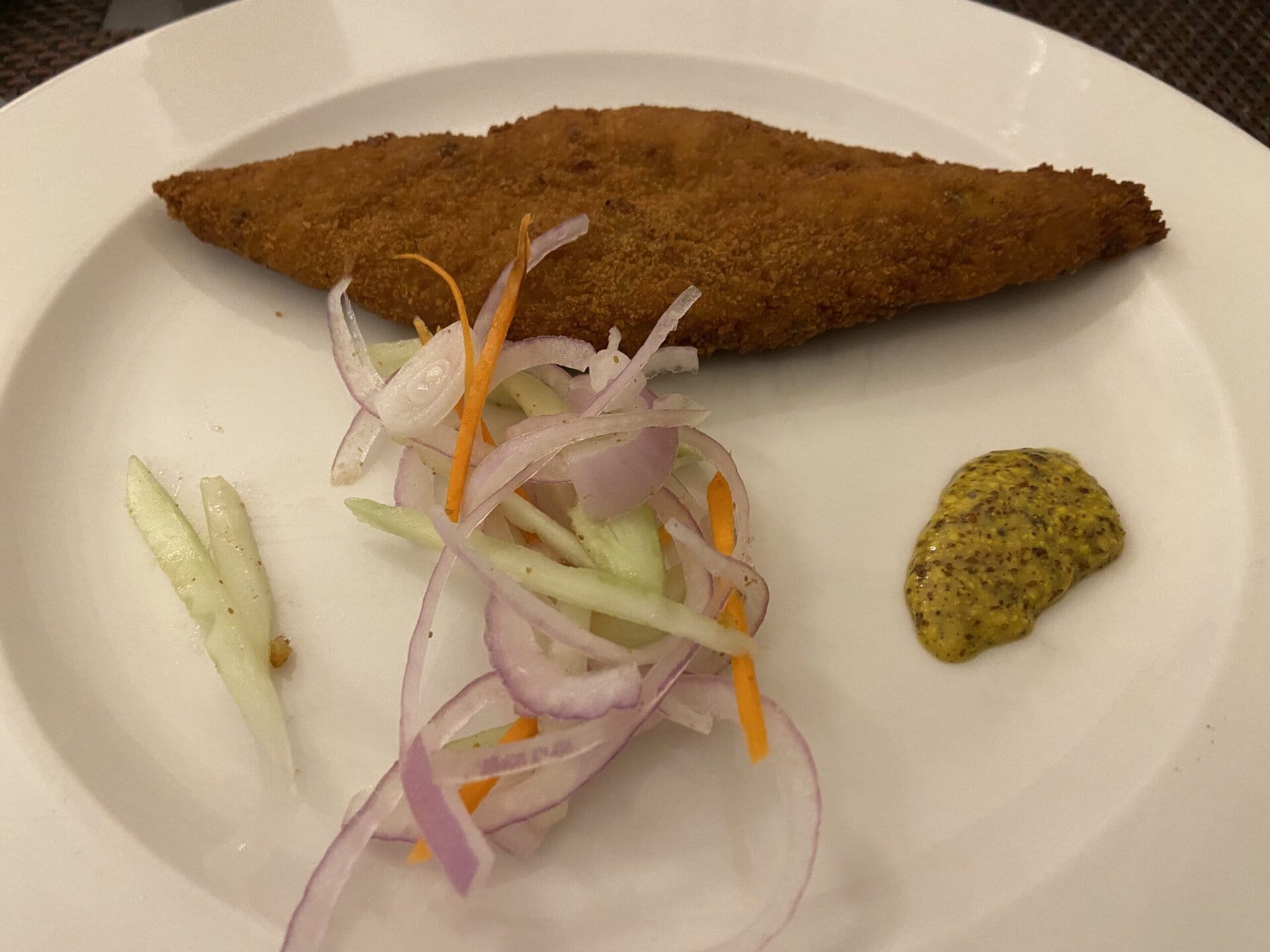
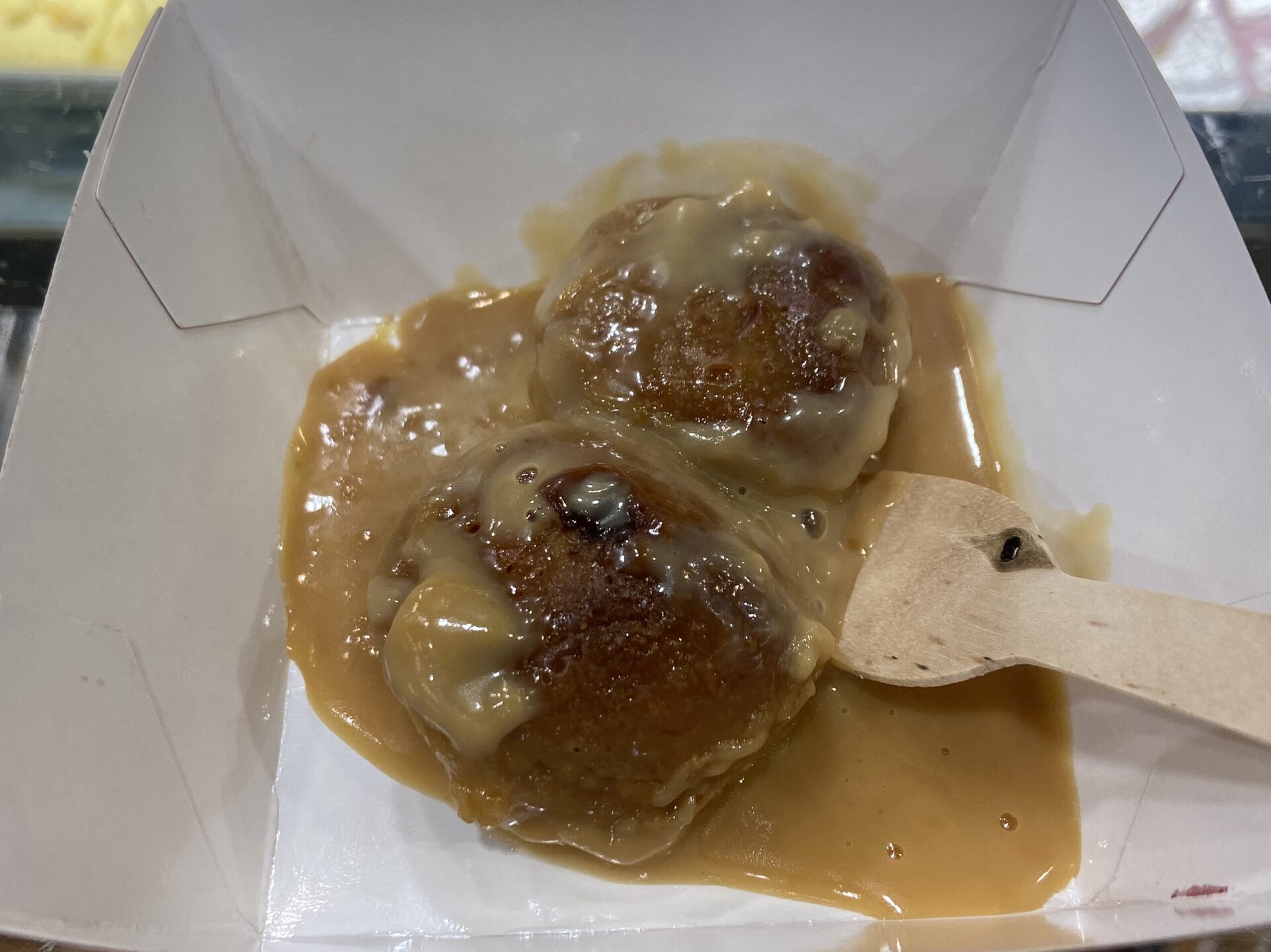
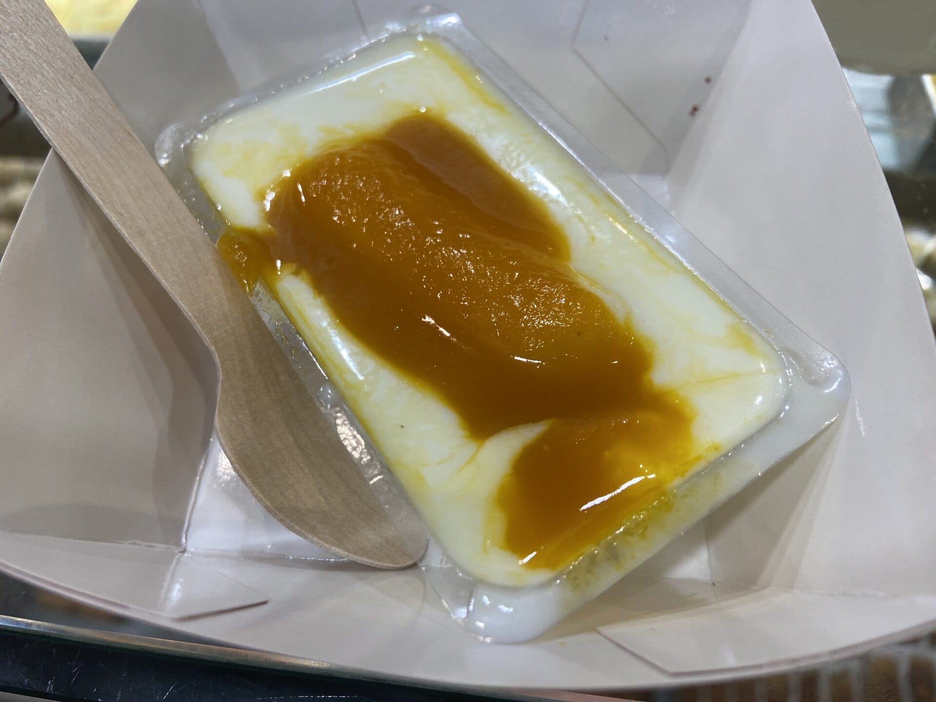
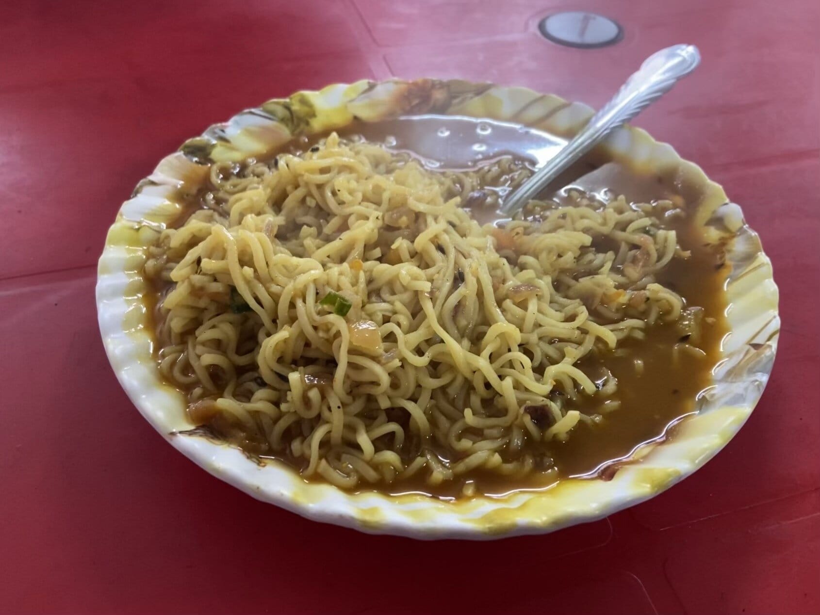
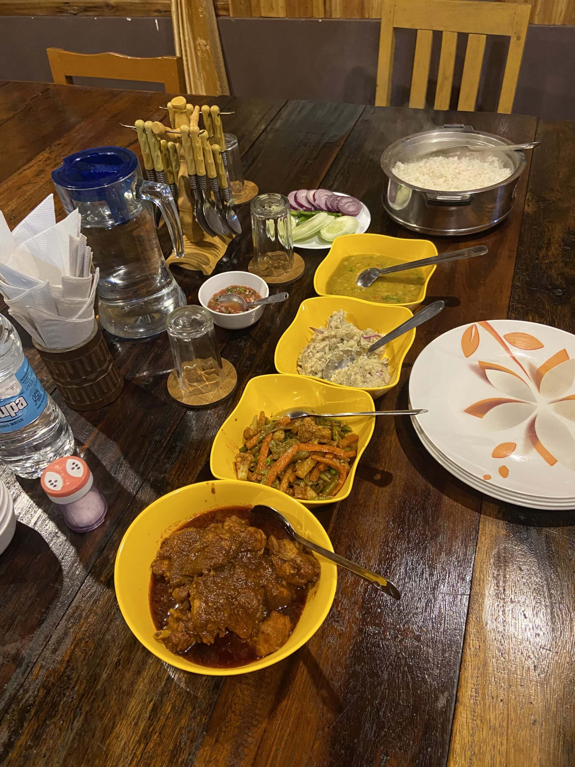
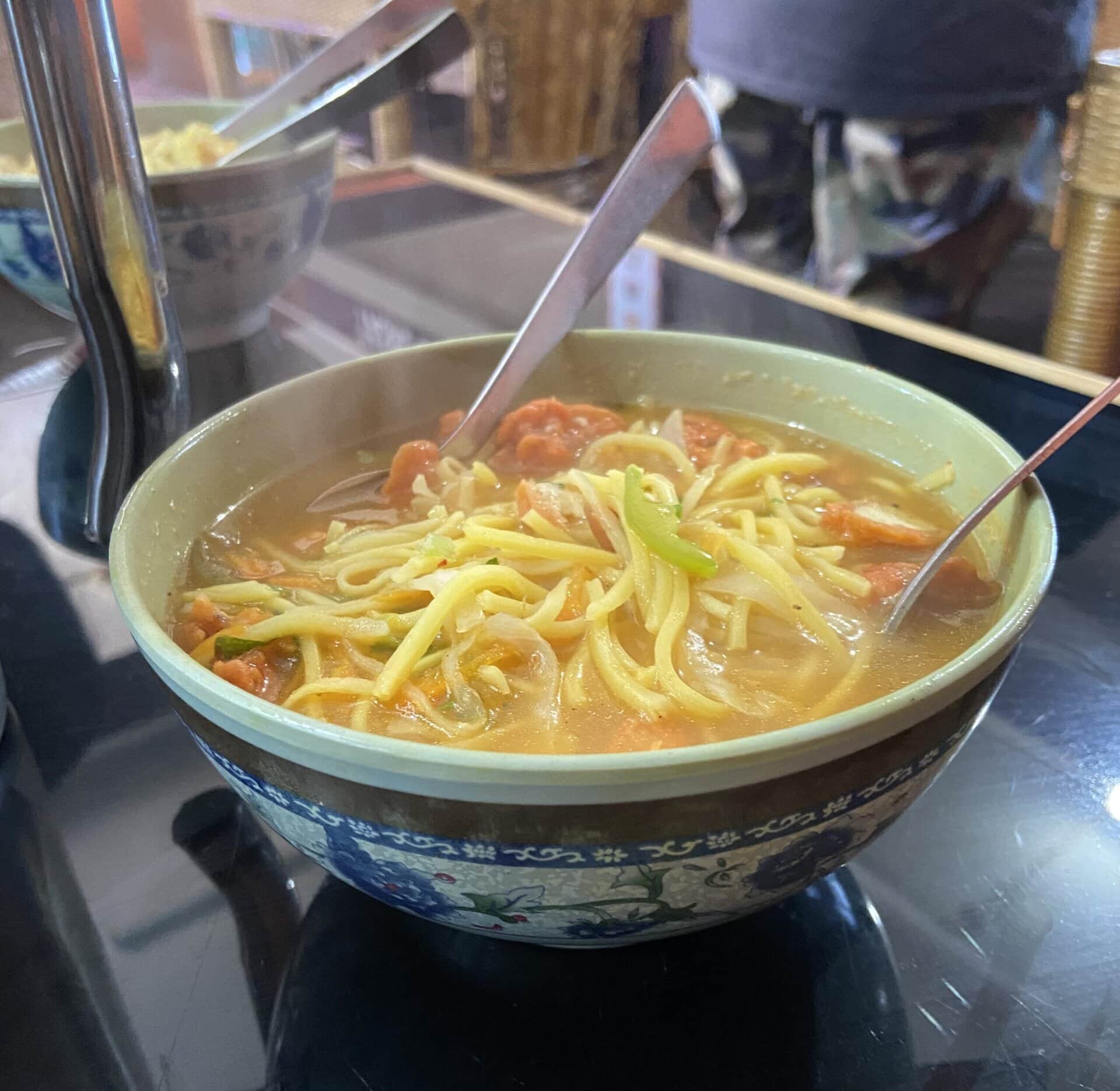
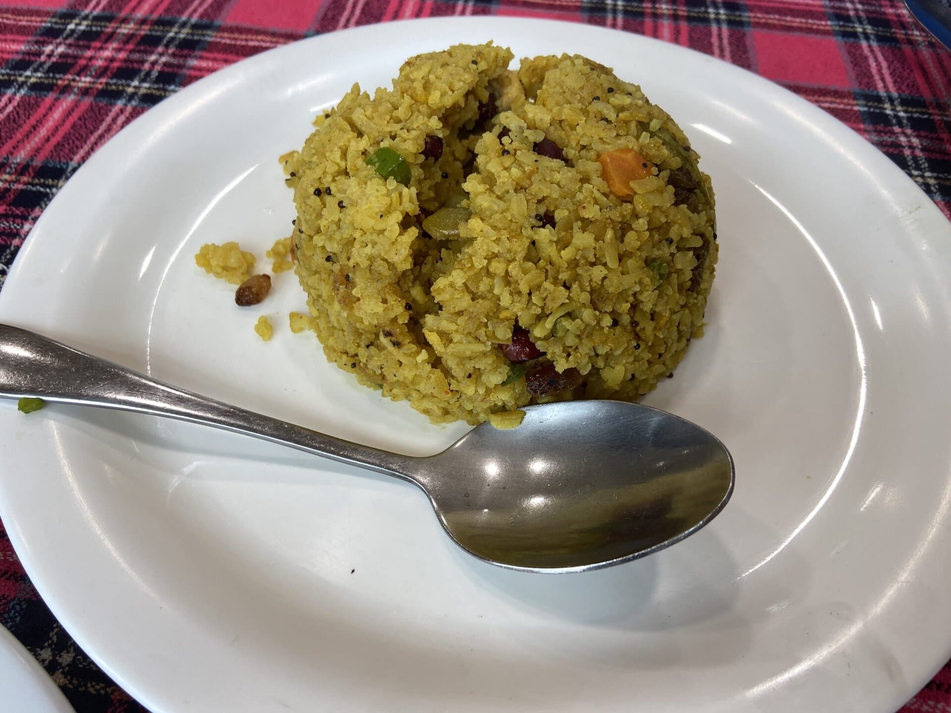
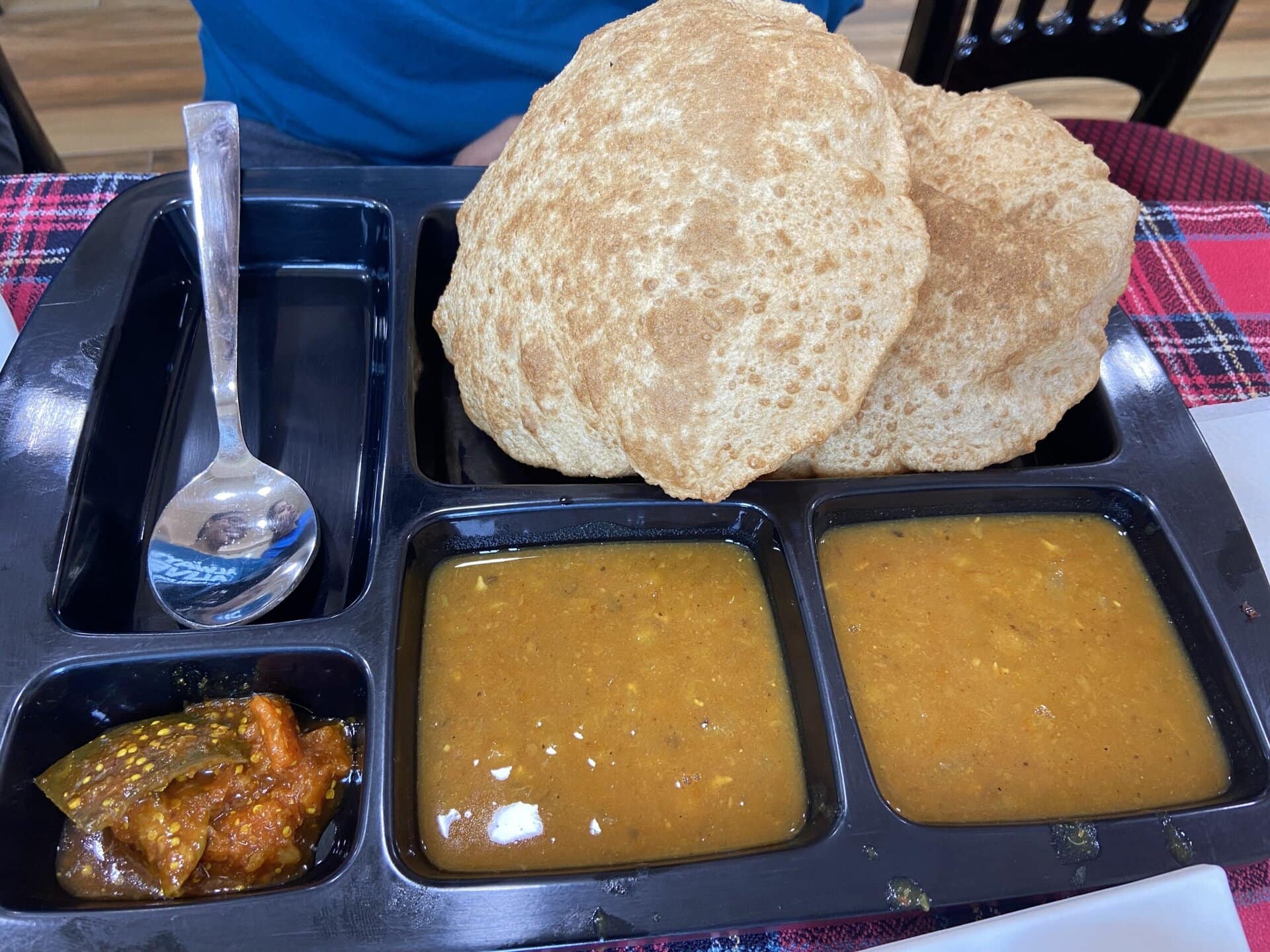
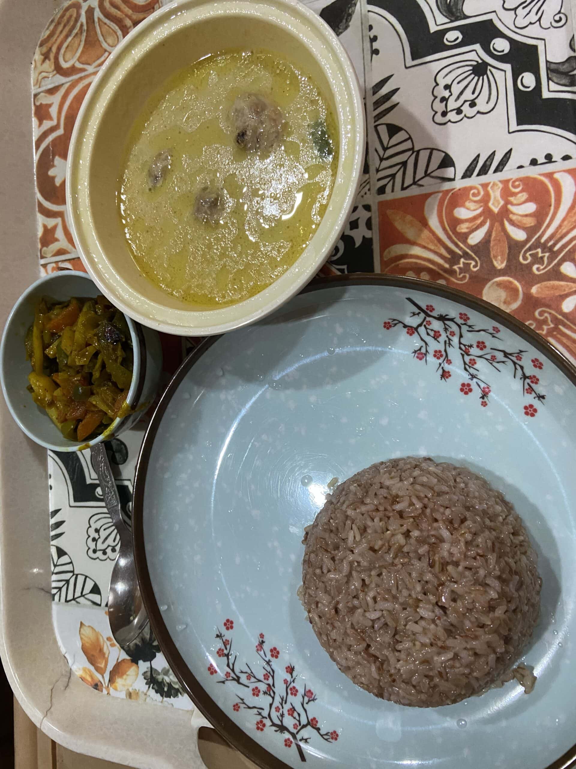
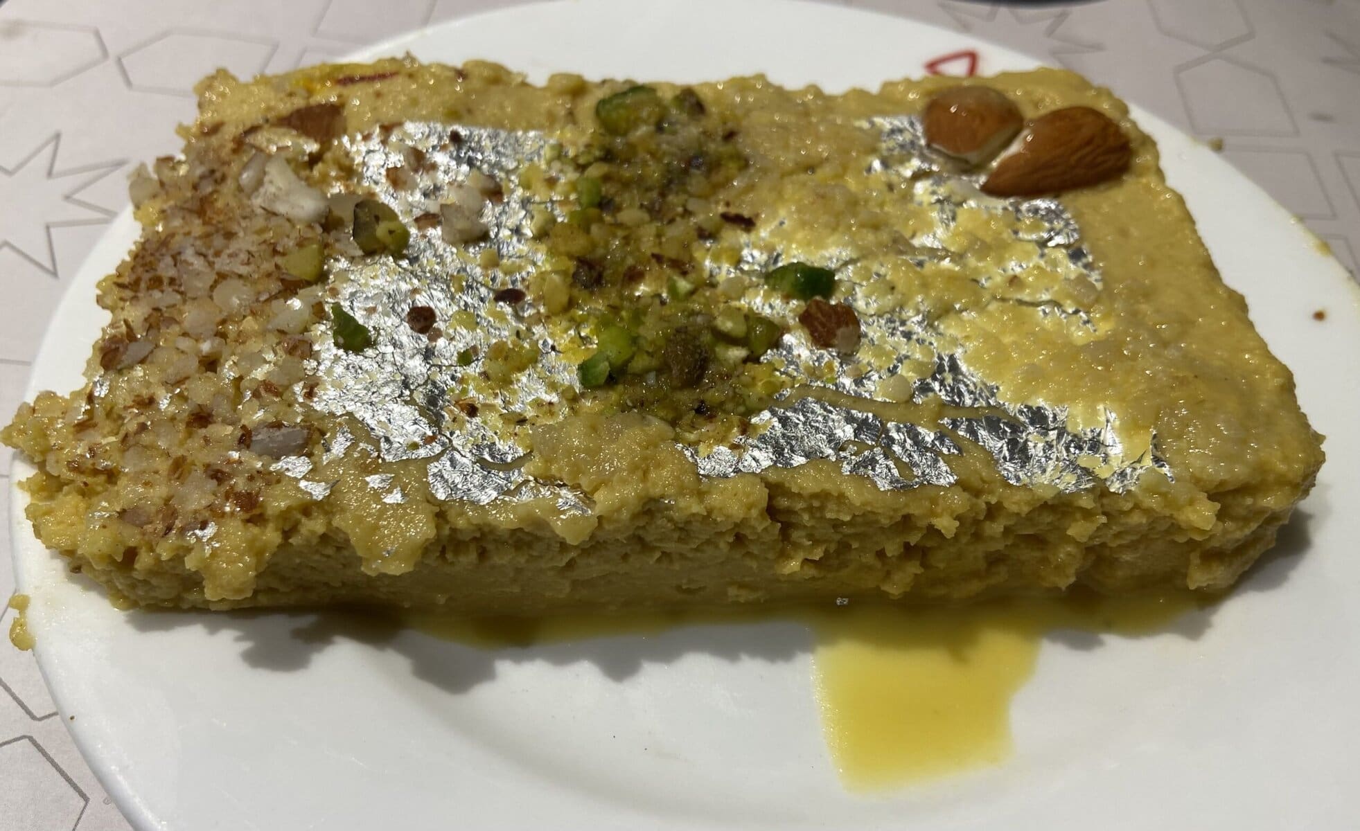
Food
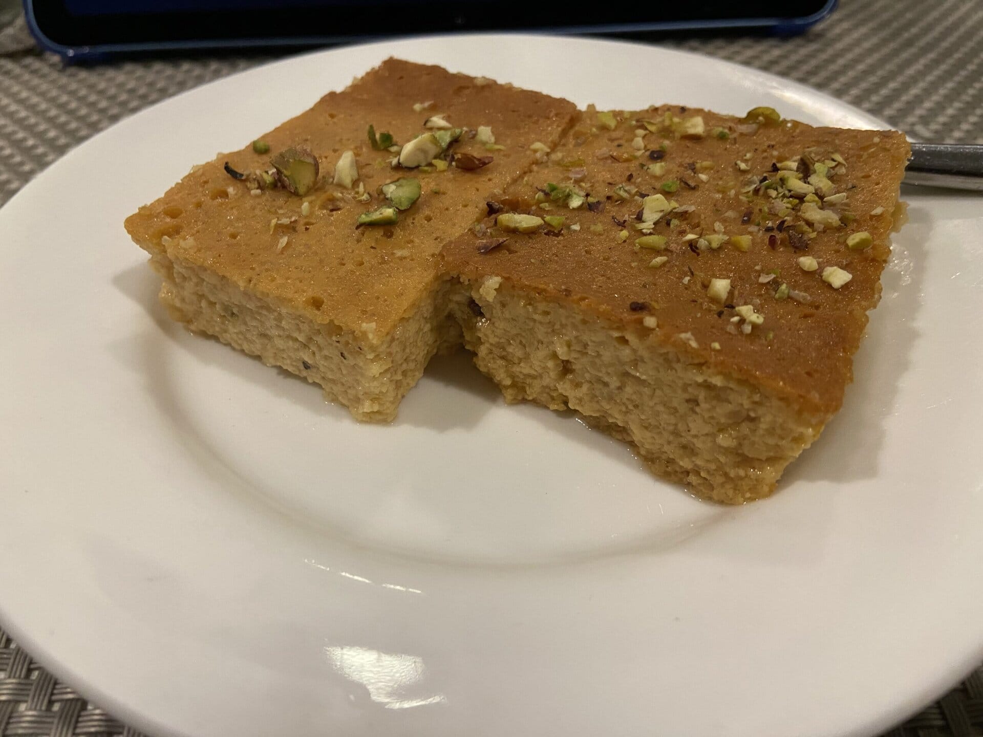
For me, food forms an integral part of a road trip. As a road trip involves a journey through several parts of the country, I get to enjoy a variety of local cuisines. This road trip was no exception. I got to experience various foods like Biriyani in Andhra Pradesh, various thalis in Assam, thukpas and momos in Arunachal, Biriyani, fish, and sweets in Kolkata and Orissa. Sharing some random pictures of food I enjoyed in this trip. I also gained a few kilos in weight, which is always an unavoidable side effect of road trips.


Trip Statistics and Conclusion
Trip Statistics
Below are some essential trip statistics from this 25-day road trip.
- Total distance covered – 8300 kilometers
- Total drive time – 161 hours 45 minutes
- Overall average speed – 51.3 kmph
- Total fuel consumption – 765 liters
- Total fuel cost – INR 70,066
- Total toll cost – INR 11,450
Conclusion
With this, I conclude this three-part series covering my 25-day road trip to Arunachal and Meghalaya.
Although I have taken a couple of road trips before, this is the first time I’ve had the opportunity to do so with my family. It was a fantastic experience for my family and me touring through the beautiful scenic Arunachal and Meghalaya. Looking forward to several such road trips in the future.
Thank you for reading this long report!
Discover more from graaja.blog
Subscribe to get the latest posts sent to your email.

Hi, How do I contact you graaja. Wanted to check on your Spiti expedition